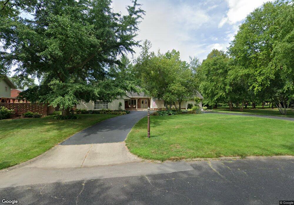
106 E Hanover Place Peoria, IL 61614
North Peoria NeighborhoodEstimated Value: $283,000 - $332,000
5
Beds
3
Baths
2,541
Sq Ft
$122/Sq Ft
Est. Value
About This Home
This home is located at 106 E Hanover Place, Peoria, IL 61614 and is currently estimated at $311,190, approximately $122 per square foot. 106 E Hanover Place is a home located in Peoria County with nearby schools including Kellar Primary School, Liberty Leadership Middle School, and Richwoods High School.
Ownership History
Date
Name
Owned For
Owner Type
Purchase Details
Closed on
Jun 17, 2019
Sold by
Howard Jr Rex G
Bought by
Perisin Raymond J and Perisin Joan E
Current Estimated Value
Home Financials for this Owner
Home Financials are based on the most recent Mortgage that was taken out on this home.
Original Mortgage
$133,500
Outstanding Balance
$87,363
Interest Rate
4%
Mortgage Type
New Conventional
Estimated Equity
$223,827
Create a Home Valuation Report for This Property
The Home Valuation Report is an in-depth analysis detailing your home's value as well as a comparison with similar homes in the area
Home Values in the Area
Average Home Value in this Area
Purchase History
| Date | Buyer | Sale Price | Title Company |
|---|---|---|---|
| Perisin Raymond J | $170,000 | Johnson Bunce & Noble Pc |
Source: Public Records
Mortgage History
| Date | Status | Borrower | Loan Amount |
|---|---|---|---|
| Open | Perisin Raymond J | $133,500 |
Source: Public Records
Tax History Compared to Growth
Tax History
| Year | Tax Paid | Tax Assessment Tax Assessment Total Assessment is a certain percentage of the fair market value that is determined by local assessors to be the total taxable value of land and additions on the property. | Land | Improvement |
|---|---|---|---|---|
| 2024 | $7,066 | $84,120 | $19,400 | $64,720 |
| 2023 | $6,697 | $77,180 | $17,800 | $59,380 |
| 2022 | $6,391 | $72,250 | $17,010 | $55,240 |
| 2021 | $6,244 | $68,810 | $16,200 | $52,610 |
| 2020 | $6,226 | $68,130 | $16,040 | $52,090 |
| 2019 | $6,500 | $76,250 | $16,370 | $59,880 |
| 2018 | $6,520 | $80,310 | $16,530 | $63,780 |
| 2017 | $6,454 | $81,120 | $16,700 | $64,420 |
| 2016 | $6,400 | $81,120 | $16,700 | $64,420 |
| 2015 | $6,163 | $79,530 | $16,370 | $63,160 |
| 2014 | $6,089 | $82,330 | $16,280 | $66,050 |
| 2013 | -- | $83,330 | $16,480 | $66,850 |
Source: Public Records
Map
Nearby Homes
- 202 W Wolf Rd
- 468 E High Point Dr
- 526 W Aspen Way
- 7416 N Patton Ln
- 7408 N Brittany Park Place
- 7408 N Brittany Park Place Unit 8
- 7015 N Knoxville Ave
- 7604 N Patton Ln Unit 4
- 512 W Woodridge Ln
- 916 W Trailcreek Dr Unit 916
- 0 E Koch Dr
- 6914 N Upper Skyline Dr
- 7606 Walnut Bend Dr
- 7615 Walnut Bend Dr Unit 30
- 620 W Mount Hawley Terrace
- 634 W Mount Hawley Terrace
- 6823 N Bobolink Rd
- 414 W Timber Ridge Dr
- 0 N Skyline Dr
- 6936 N Wilshire Dr
- 100 W Northgate Rd
- 7419 N Windsor Ln
- 113 W Coventry Ln
- 119 W Coventry Ln
- 112 W Northgate Rd
- 7407 N Windsor Ln
- 102 E Northgate Rd
- 109 E Hanover Place
- 7418 N Windsor Ln
- 118 W Northgate Rd
- 103 E Coventry Ln
- 101 E Northgate Rd
- 107 W Northgate Rd
- 113 W Northgate Rd
- 112 W Coventry Ln
- 129 W Coventry Ln
- 116 W Coventry Ln
- 126 W Northgate Rd
- 106 E Northgate Rd
- 7312 N Windsor Ln