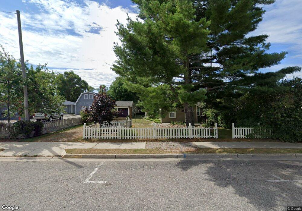
106 E Park Ave Oscoda, MI 48750
Estimated Value: $116,000 - $171,000
2
Beds
1
Bath
814
Sq Ft
$176/Sq Ft
Est. Value
About This Home
This home is located at 106 E Park Ave, Oscoda, MI 48750 and is currently estimated at $143,365, approximately $176 per square foot. 106 E Park Ave is a home located in Iosco County with nearby schools including Richardson Elementary School and Oscoda Area High School.
Ownership History
Date
Name
Owned For
Owner Type
Purchase Details
Closed on
Sep 27, 2024
Sold by
Welch Shawn M
Bought by
Welch Shawn M and Wallis Donna
Current Estimated Value
Purchase Details
Closed on
Jul 15, 2008
Sold by
Lane John J and Lane Jenny E
Bought by
Welch Shawn M
Home Financials for this Owner
Home Financials are based on the most recent Mortgage that was taken out on this home.
Original Mortgage
$55,120
Interest Rate
6.5%
Create a Home Valuation Report for This Property
The Home Valuation Report is an in-depth analysis detailing your home's value as well as a comparison with similar homes in the area
Home Values in the Area
Average Home Value in this Area
Purchase History
| Date | Buyer | Sale Price | Title Company |
|---|---|---|---|
| Welch Shawn M | -- | None Listed On Document | |
| Welch Shawn M | $68,900 | -- |
Source: Public Records
Mortgage History
| Date | Status | Borrower | Loan Amount |
|---|---|---|---|
| Previous Owner | Welch Shawn M | $55,120 |
Source: Public Records
Tax History
| Year | Tax Paid | Tax Assessment Tax Assessment Total Assessment is a certain percentage of the fair market value that is determined by local assessors to be the total taxable value of land and additions on the property. | Land | Improvement |
|---|---|---|---|---|
| 2025 | $1,062 | $53,900 | $53,900 | $0 |
| 2024 | $1,344 | $46,400 | $0 | $0 |
| 2023 | $939 | $38,200 | $38,200 | $0 |
| 2022 | $1,257 | $31,100 | $31,100 | $0 |
| 2021 | $1,216 | $30,200 | $30,200 | $0 |
| 2020 | $1,184 | $28,800 | $28,800 | $0 |
| 2019 | $1,168 | $28,300 | $28,300 | $0 |
| 2018 | $1,197 | $30,400 | $30,400 | $0 |
| 2017 | $1,056 | $32,100 | $32,100 | $0 |
| 2016 | $1,029 | $32,100 | $0 | $0 |
| 2015 | -- | $30,500 | $0 | $0 |
| 2014 | -- | $26,300 | $0 | $0 |
| 2013 | -- | $27,400 | $0 | $0 |
Source: Public Records
Map
Nearby Homes
- 134 Harbor St
- 411 Ottawa Dr
- 891 S State St
- 805 Old U S 23
- 130 Smith St
- 4669 McNichol Ave
- 909 Farnsworth St
- #26 Appletree Trail
- #49 Appletree Trail
- #21 Meadow Ln
- #46 Vaughan Trail
- #48 Vaughan Trail
- #3 Vaughan Trail
- #20 Vaughan Trail
- VL Vaughan Trail
- #18 Vaughan Trail
- #1 Vaughan Trail
- #16 Vaughan Trail
- #13 Vaughan Trail
- #17 Vaughan Trail
- 238 S State St
- 301 S State St
- 103 E Park St
- 112 E Park St
- 107 E Park St
- 317 S State St
- 205 S State St
- 329 S State St
- 212 S Lake St
- 106 E Division Ave
- 115 E Division Ave
- 310 S Lake St
- 119 W Dwight St
- 211 S Lake St
- 211 S Lake St
- 117 E Dwight Ave
- 206 E Park Ave
- 210 E Park Ave
- 400 S State St
- 205 E Dwight Avenue 17 Acres
Your Personal Tour Guide
Ask me questions while you tour the home.