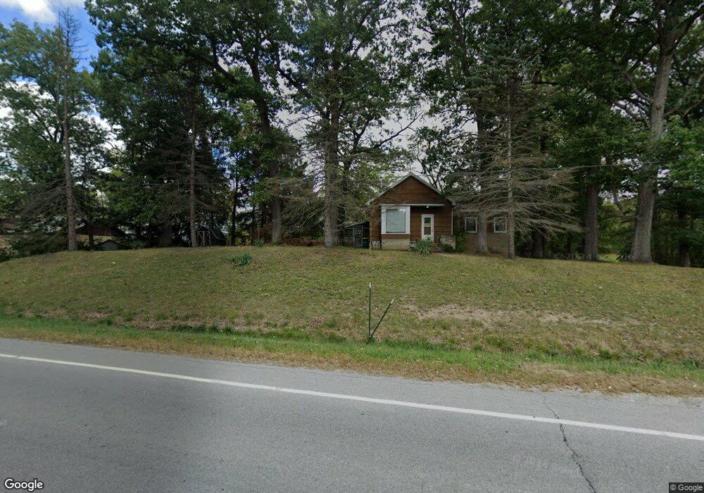
106 E State Road 231 Crown Point, IN 46307
Estimated Value: $358,331 - $401,000
2
Beds
1
Bath
3,108
Sq Ft
$123/Sq Ft
Est. Value
About This Home
This home is located at 106 E State Road 231, Crown Point, IN 46307 and is currently estimated at $383,583, approximately $123 per square foot. 106 E State Road 231 is a home located in Lake County with nearby schools including Dwight D. Eisenhower Elementary School, Colonel John Wheeler Middle School, and Crown Point High School.
Ownership History
Date
Name
Owned For
Owner Type
Purchase Details
Closed on
Oct 25, 2023
Sold by
Mckenna Timothy J
Bought by
3M Crown Point Llc
Current Estimated Value
Purchase Details
Closed on
Sep 12, 2022
Sold by
Billy J Smith Land Trust and Vetter Kathy G
Bought by
Mckenna Timothy J
Purchase Details
Closed on
Dec 20, 2005
Sold by
Smith Billy Jack
Bought by
Smith Billy J and Billy J Smith Land Trust One
Purchase Details
Closed on
Mar 1, 2005
Sold by
Smith Billy J
Bought by
Smith Billy J and Billy J Smith Land Trust One
Create a Home Valuation Report for This Property
The Home Valuation Report is an in-depth analysis detailing your home's value as well as a comparison with similar homes in the area
Home Values in the Area
Average Home Value in this Area
Purchase History
| Date | Buyer | Sale Price | Title Company |
|---|---|---|---|
| 3M Crown Point Llc | -- | None Listed On Document | |
| Mckenna Timothy J | -- | Greater Indiana Title Company | |
| Smith Billy J | -- | None Available | |
| Smith Billy J | -- | None Available |
Source: Public Records
Tax History
| Year | Tax Paid | Tax Assessment Tax Assessment Total Assessment is a certain percentage of the fair market value that is determined by local assessors to be the total taxable value of land and additions on the property. | Land | Improvement |
|---|---|---|---|---|
| 2025 | $5,850 | $309,200 | $34,800 | $274,400 |
| 2024 | $7,231 | $281,600 | $34,800 | $246,800 |
| 2023 | $3,910 | $263,100 | $34,800 | $228,300 |
| 2022 | $3,910 | $176,900 | $34,800 | $142,100 |
| 2021 | $3,488 | $157,800 | $30,000 | $127,800 |
| 2020 | $3,371 | $152,500 | $30,000 | $122,500 |
| 2019 | $3,250 | $145,000 | $30,000 | $115,000 |
| 2018 | $3,707 | $143,700 | $30,000 | $113,700 |
| 2017 | $3,464 | $132,500 | $30,000 | $102,500 |
| 2016 | $3,802 | $143,100 | $30,000 | $113,100 |
| 2014 | $3,514 | $141,400 | $30,300 | $111,100 |
| 2013 | $1,255 | $140,800 | $30,300 | $110,500 |
Source: Public Records
Map
Nearby Homes
- 11032 Lola Ln
- 2240 E 110th Ln
- 508 E 119th Place
- 636 E 119th Place
- 7382 Brookhaven Dr
- 13131 Rutledge Place
- 515 E 117th Place
- 11840 Broadway
- 11828 Broadway
- 11803 Rhode Island St
- 11732 Virginia Ct
- 11792 Rhode Island St
- 12492 Washington St
- 206 U S 231
- 11742 Broadway
- 1426 Rainy Brook Way
- 1285 Greenview Place
- 11664 Broadway
- 12617 Pennsylvania Place
- 1049 E 117th Place
- 118 E State Road 231
- 118 E State Road 231
- 107 E State Road 231
- 107 E State Road 231
- 111 E State Road 231
- 115 E State Road 231
- 111 E State Road 231
- 118 E State Road 231
- 12110 Delaware St
- 209 U S 231
- 239 W State Road 231
- 206 E State Road 8
- 5888 112th Place
- 5940 112th Place
- 5922 112th Place
- 124 E State Road 8
- 121 E State Road 8
- 118 E State Road 8
- 113 U S 231
- 109 U S 231
Your Personal Tour Guide
Ask me questions while you tour the home.