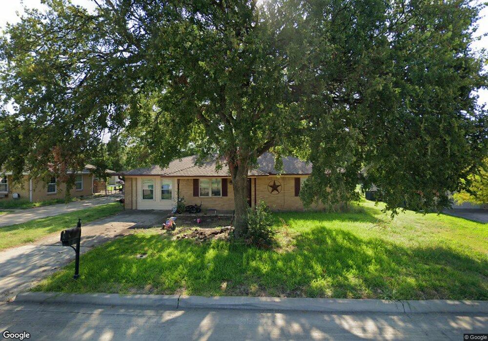
106 Freese Dr Sanger, TX 76266
Estimated Value: $210,000 - $231,000
3
Beds
1
Bath
980
Sq Ft
$221/Sq Ft
Est. Value
About This Home
This home is located at 106 Freese Dr, Sanger, TX 76266 and is currently estimated at $217,017, approximately $221 per square foot. 106 Freese Dr is a home located in Denton County with nearby schools including Chisholm Trail Elementary School, Clear Creek Intermediate School, and Sanger Sixth Grade Campus.
Ownership History
Date
Name
Owned For
Owner Type
Purchase Details
Closed on
Oct 30, 2007
Sold by
Bell Leana Beth and Bell Beth Souleret
Bought by
Bales Randy Joe
Current Estimated Value
Home Financials for this Owner
Home Financials are based on the most recent Mortgage that was taken out on this home.
Original Mortgage
$72,000
Outstanding Balance
$45,555
Interest Rate
6.38%
Mortgage Type
Purchase Money Mortgage
Estimated Equity
$171,462
Create a Home Valuation Report for This Property
The Home Valuation Report is an in-depth analysis detailing your home's value as well as a comparison with similar homes in the area
Home Values in the Area
Average Home Value in this Area
Purchase History
| Date | Buyer | Sale Price | Title Company |
|---|---|---|---|
| Bales Randy Joe | -- | Fnt |
Source: Public Records
Mortgage History
| Date | Status | Borrower | Loan Amount |
|---|---|---|---|
| Open | Bales Randy Joe | $72,000 |
Source: Public Records
Tax History Compared to Growth
Tax History
| Year | Tax Paid | Tax Assessment Tax Assessment Total Assessment is a certain percentage of the fair market value that is determined by local assessors to be the total taxable value of land and additions on the property. | Land | Improvement |
|---|---|---|---|---|
| 2025 | $2,526 | $192,694 | $60,506 | $132,188 |
| 2024 | $3,679 | $182,015 | $0 | $0 |
| 2023 | $2,197 | $165,468 | $60,506 | $173,349 |
| 2022 | $3,336 | $150,425 | $41,719 | $127,655 |
| 2021 | $2,874 | $136,750 | $41,719 | $95,031 |
| 2020 | $2,757 | $124,610 | $29,620 | $95,693 |
| 2019 | $2,579 | $113,282 | $29,620 | $97,605 |
| 2018 | $2,357 | $102,984 | $29,620 | $73,364 |
| 2017 | $2,260 | $98,270 | $28,369 | $69,901 |
| 2016 | $2,099 | $91,278 | $27,117 | $64,161 |
| 2015 | $1,503 | $81,831 | $27,117 | $54,714 |
| 2013 | -- | $72,746 | $27,117 | $45,629 |
Source: Public Records
Map
Nearby Homes
- 113 Diane Dr
- 109 Colonial Heights
- 212 Diane Dr
- 505 Houston St
- 226 Hillcrest St
- 710 W Willow St
- 509 Marshall St
- 319 Austin St
- 411 Hughes St
- 209 Southland Dr
- 109 S 5th St
- 202 Southland Dr
- 1010 Bolivar St
- 1209 Bolivar St
- 106 W Holt St
- 124 Morning Glory
- 185 Aster Dr
- 130 Southside Dr
- 108 Magnolia Dr
- 2000 S Stemmons St
- 104 Freese Dr
- 108 Freese Dr
- 102 Freese Dr
- 110 Freese Dr
- 103 Kathryn Dr
- 105 Kathryn Dr
- 101 Kathryn Dr
- 112 Freese Dr
- 1003 Austin St
- 1001 Austin St
- 902 Austin St
- 109 Kathryn Dr
- 0 Spur 138 & Freese Dr Corner NE
- 114 Freese Dr
- 900 Austin St
- 111 Kathryn Dr
- 116 Freese Dr
- 909 Austin St
- 609 S 10th St
- 1000 Austin St