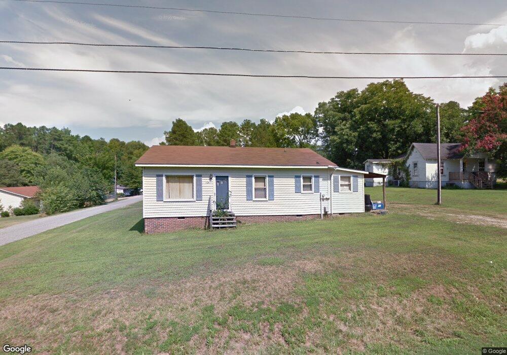
106 Hilton Ave Kannapolis, NC 28081
Estimated Value: $172,000 - $241,000
--
Bed
1
Bath
972
Sq Ft
$206/Sq Ft
Est. Value
About This Home
This home is located at 106 Hilton Ave, Kannapolis, NC 28081 and is currently estimated at $199,885, approximately $205 per square foot. 106 Hilton Ave is a home located in Rowan County with nearby schools including Landis Elementary School, Corriher Lipe Middle School, and South Rowan High School.
Ownership History
Date
Name
Owned For
Owner Type
Purchase Details
Closed on
Oct 26, 2006
Sold by
Federal National Mortgage Association
Bought by
Bailey Jack Wilson
Current Estimated Value
Home Financials for this Owner
Home Financials are based on the most recent Mortgage that was taken out on this home.
Original Mortgage
$43,900
Interest Rate
6.39%
Mortgage Type
Unknown
Purchase Details
Closed on
Aug 18, 2006
Sold by
Dwyer Connie
Bought by
Federal National Mortgage Association
Create a Home Valuation Report for This Property
The Home Valuation Report is an in-depth analysis detailing your home's value as well as a comparison with similar homes in the area
Home Values in the Area
Average Home Value in this Area
Purchase History
| Date | Buyer | Sale Price | Title Company |
|---|---|---|---|
| Bailey Jack Wilson | -- | None Available | |
| Federal National Mortgage Association | $61,079 | None Available |
Source: Public Records
Mortgage History
| Date | Status | Borrower | Loan Amount |
|---|---|---|---|
| Closed | Bailey Jack Wilson | $43,900 |
Source: Public Records
Tax History Compared to Growth
Tax History
| Year | Tax Paid | Tax Assessment Tax Assessment Total Assessment is a certain percentage of the fair market value that is determined by local assessors to be the total taxable value of land and additions on the property. | Land | Improvement |
|---|---|---|---|---|
| 2025 | $769 | $116,525 | $26,076 | $90,449 |
| 2024 | $769 | $116,525 | $26,076 | $90,449 |
| 2023 | $769 | $116,525 | $26,076 | $90,449 |
| 2022 | $549 | $74,418 | $18,253 | $56,165 |
| 2021 | $549 | $74,418 | $18,253 | $56,165 |
| 2020 | $549 | $74,418 | $18,253 | $56,165 |
| 2019 | $549 | $74,418 | $18,253 | $56,165 |
| 2018 | $456 | $62,361 | $18,253 | $44,108 |
| 2017 | $456 | $62,361 | $18,253 | $44,108 |
| 2016 | $450 | $62,361 | $18,253 | $44,108 |
| 2015 | $457 | $62,361 | $18,253 | $44,108 |
| 2014 | $417 | $57,912 | $12,168 | $45,744 |
Source: Public Records
Map
Nearby Homes
- 113 Hilton Ave
- 1711 W C St
- Lot 1 Arlene Ave
- 1734 Shadowbrook Dr
- 0000 Buffalo St
- 1530 Buffalo St
- 122 Andrew St
- 0 Winona Ave
- 0 Pump Station Rd
- 0 W C St Unit 2 CAR4255761
- 0 W C St Unit CAR4255556
- 2218 Woodcrest Dr
- 116 Overcash Ave
- 4648 Nob Hill Dr
- 150 Westover Ave
- 0 Enochville Ave Unit CAR4275012
- 3796 Enochville Rd
- 2603 Mcgill St
- 1110 Northside St
- 304 Tanglewood Dr
- 104 Hilton Ave
- 108 Hilton Ave
- 113 Dexter St
- 1804 Crosby St
- 100 Hilton Ave
- 111 Dexter St
- 1800 Crosby St
- 4033 Hilton Ave
- 107 Homestead Ave
- 107 Dexter St
- 111 Homestead Ave
- 118 Dexter St
- 116 Dexter St
- 120 Dexter St
- 115 Hilton Ave
- 114 Dexter St
- 115 Homestead Ave
- 1814 W C St Unit 20
- 104 Orchard Ave
- 112 Dexter St