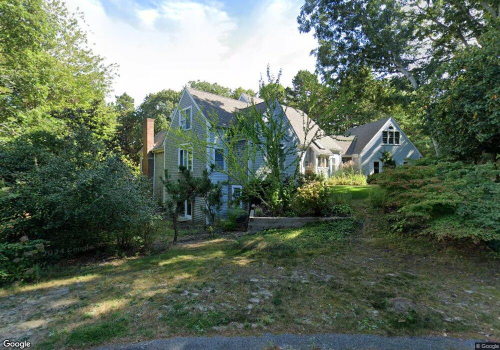
106 Howes Path Dennis, MA 2638
Dennis Village NeighborhoodEstimated Value: $1,249,000 - $1,762,000
3
Beds
3
Baths
2,894
Sq Ft
$492/Sq Ft
Est. Value
About This Home
This home is located at 106 Howes Path, Dennis, MA 2638 and is currently estimated at $1,423,193, approximately $491 per square foot. 106 Howes Path is a home located in Barnstable County with nearby schools including Dennis-Yarmouth Regional High School.
Create a Home Valuation Report for This Property
The Home Valuation Report is an in-depth analysis detailing your home's value as well as a comparison with similar homes in the area
Home Values in the Area
Average Home Value in this Area
Tax History
| Year | Tax Paid | Tax Assessment Tax Assessment Total Assessment is a certain percentage of the fair market value that is determined by local assessors to be the total taxable value of land and additions on the property. | Land | Improvement |
|---|---|---|---|---|
| 2025 | $6,016 | $1,389,400 | $169,300 | $1,220,100 |
| 2024 | $5,940 | $1,353,000 | $162,800 | $1,190,200 |
| 2023 | $5,272 | $1,128,900 | $148,000 | $980,900 |
| 2022 | $4,883 | $872,000 | $133,300 | $738,700 |
| 2021 | $4,636 | $768,800 | $130,700 | $638,100 |
| 2020 | $4,675 | $766,400 | $156,800 | $609,600 |
| 2019 | $4,583 | $742,800 | $192,200 | $550,600 |
| 2018 | $4,496 | $709,200 | $182,900 | $526,300 |
| 2017 | $4,437 | $721,400 | $195,100 | $526,300 |
| 2016 | $4,294 | $657,600 | $207,300 | $450,300 |
| 2015 | $4,209 | $657,600 | $207,300 | $450,300 |
| 2014 | $4,208 | $662,600 | $207,300 | $455,300 |
Source: Public Records
Map
Nearby Homes
- 39 Whittier Dr
- 26 S West Dr
- 268 Main St
- 6 Thomas Ct
- 35 Crown Grant Dr
- 15 Signal Hill Dr
- 930 Old Bass River Rd
- 59 Main St Unit 19-2
- 59 Route 6a Unit 29-4
- 480 Main St
- 568 Route 6a
- 59 Massachusetts 6a Unit 19-2
- 32 Captain Walsh Dr
- 14 S Yarmouth Rd
- 645 Main St Back Lot
- 58 Terrace Hill Dr
- 61 Terrace Hill Dr
- 16 Hazelwood Rd
- 20 Bray Farm Rd S
- 19 Deacon Joseph Ln
Your Personal Tour Guide
Ask me questions while you tour the home.