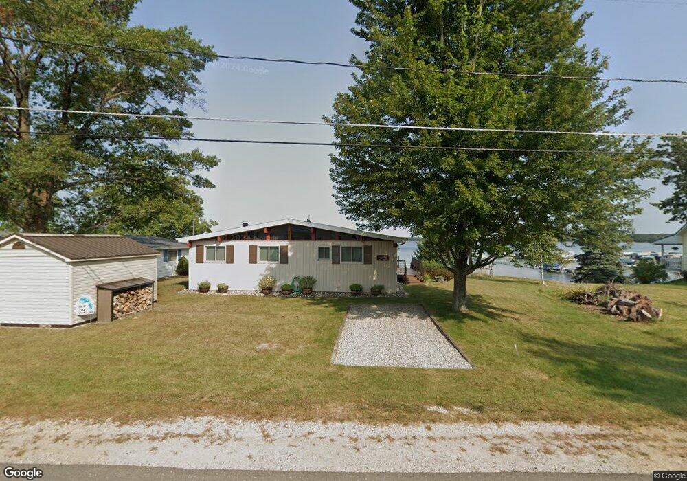
106 Hyslop St Roscommon, MI 48653
Estimated Value: $605,000 - $769,000
4
Beds
2
Baths
1,095
Sq Ft
$630/Sq Ft
Est. Value
About This Home
This home is located at 106 Hyslop St, Roscommon, MI 48653 and is currently estimated at $690,034, approximately $630 per square foot. 106 Hyslop St is a home with nearby schools including Roscommon Elementary School, Roscommon Middle School, and Roscommon High School.
Ownership History
Date
Name
Owned For
Owner Type
Purchase Details
Closed on
Oct 30, 2023
Sold by
Currie John A and Currie Peggy L
Bought by
Currie Living Trust and Currie
Current Estimated Value
Purchase Details
Closed on
Jul 15, 2011
Sold by
Currie John A and Currie Peggy L
Bought by
Jane H Currie Revocable Living Trust
Purchase Details
Closed on
May 12, 2004
Sold by
Currie Jane H
Bought by
Currie Jane H Rev Liv Trust
Purchase Details
Closed on
Mar 18, 1999
Sold by
Currie Jane H and Jane H Currie Revocable Living
Bought by
Currie John A and Currie Peggy L
Create a Home Valuation Report for This Property
The Home Valuation Report is an in-depth analysis detailing your home's value as well as a comparison with similar homes in the area
Home Values in the Area
Average Home Value in this Area
Purchase History
| Date | Buyer | Sale Price | Title Company |
|---|---|---|---|
| Currie Living Trust | -- | None Listed On Document | |
| Jane H Currie Revocable Living Trust | -- | None Available | |
| Currie Jane H Rev Liv Trust | -- | -- | |
| Currie John A | -- | Title Direct |
Source: Public Records
Tax History Compared to Growth
Tax History
| Year | Tax Paid | Tax Assessment Tax Assessment Total Assessment is a certain percentage of the fair market value that is determined by local assessors to be the total taxable value of land and additions on the property. | Land | Improvement |
|---|---|---|---|---|
| 2025 | $8,363 | $360,200 | $0 | $0 |
| 2024 | $7,878 | $289,400 | $0 | $0 |
| 2023 | -- | $289,400 | $0 | $0 |
| 2022 | $7,512 | $240,400 | $0 | $0 |
| 2021 | $8,193 | $194,100 | $0 | $0 |
| 2020 | $8,505 | $186,000 | $0 | $0 |
| 2019 | $8,406 | $188,100 | $0 | $0 |
| 2018 | $8,563 | $189,800 | $0 | $0 |
| 2016 | $8,358 | $189,000 | $0 | $0 |
| 2015 | -- | $188,400 | $0 | $0 |
| 2014 | -- | $192,200 | $0 | $0 |
| 2013 | -- | $191,300 | $0 | $0 |
Source: Public Records
Map
Nearby Homes
- 115 Holly Ln
- 200 Westwood Ct
- 205 Jackson Blvd
- 237 Quail Blvd
- 119 Ethel Dr
- 0 Garfield Blvd Unit 20250006241
- 215 Garfield Blvd
- 4628 W Marl Lake Rd
- 250 Mink Dr
- 517 Monroe Blvd
- 522 Garfield Blvd
- 142 Lorna Ln
- Lots 1-8 Adams Roosevelt
- Lots 10-15 Adams Roosevelt
- 5740 N Reserve Rd
- 121 Caduca Dr
- 2744 W Higgins Lake Dr
- 408 Kirkshire Ave
- 201 Autumn Ln
- 212 Glenhurst Dr