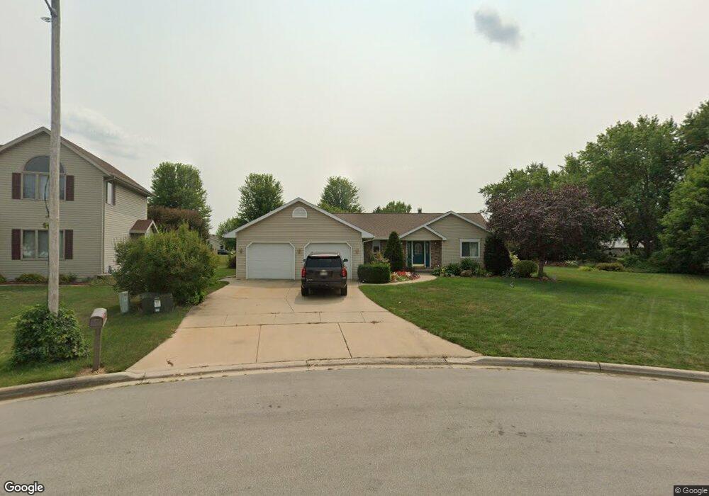
106 Jodie Kaye Ct Wrightstown, WI 54180
Estimated Value: $336,163 - $405,000
About This Home
This home is located at 106 Jodie Kaye Ct, Wrightstown, WI 54180 and is currently estimated at $371,291. 106 Jodie Kaye Ct is a home located in Brown County with nearby schools including Wrightstown Elementary School, Wrightstown Middle School, and Wrightstown High School.
Ownership History
We collect this data history from publicly available records. To have your information removed, we recommend requesting removal directly through your county’s website.
Purchase Details
Home Financials for this Owner
Home Financials are based on the most recent Mortgage that was taken out on this home.Home Values in the Area
Average Home Value in this Area
Purchase History
We collect this data history from publicly available records. To have your information removed, we recommend requesting removal directly through your county’s website.
| Date | Buyer | Sale Price | Title Company |
|---|---|---|---|
| -- | Knight Barry Title Svcs Llc |
Mortgage History
We collect this data history from publicly available records. To have your information removed, we recommend requesting removal directly through your county’s website.
| Date | Status | Borrower | Loan Amount |
|---|---|---|---|
| Closed | $145,000 |
Tax History
We collect this data history from publicly available records. To have your information removed, we recommend requesting removal directly through your county’s website.
| Year | Tax Paid | Tax Assessment Tax Assessment Total Assessment is a certain percentage of the fair market value that is determined by local assessors to be the total taxable value of land and additions on the property. | Land | Improvement |
|---|---|---|---|---|
| 2025 | $4,313 | $272,100 | $48,000 | $224,100 |
| 2024 | $3,780 | $272,100 | $48,000 | $224,100 |
| 2023 | $4,085 | $272,100 | $48,000 | $224,100 |
| 2022 | $4,157 | $180,500 | $36,000 | $144,500 |
| 2021 | $4,018 | $180,500 | $36,000 | $144,500 |
| 2020 | $3,946 | $180,500 | $36,000 | $144,500 |
| 2019 | $3,715 | $180,500 | $36,000 | $144,500 |
| 2018 | $3,479 | $180,500 | $36,000 | $144,500 |
| 2017 | $2,944 | $146,100 | $29,600 | $116,500 |
| 2016 | $3,061 | $146,100 | $29,600 | $116,500 |
| 2015 | $3,194 | $146,100 | $29,600 | $116,500 |
| 2014 | $3,032 | $146,100 | $29,600 | $116,500 |
| 2013 | $3,032 | $146,100 | $29,600 | $116,500 |
Map
- 420 Prairie Way
- 354 Longwood Ln
- 233 Burning Tree Ct
- 350 Sharla St
- 240 Alison Ct
- 30 Golden Wheat Ln
- 739 Park St
- 910 Park St
- 4207 Lost Dauphin Rd
- 1040 Crestview Dr
- 6732 Apple Blossom Ln
- 932 Meadowlark Rd
- 3979 Lost Dauphin Rd
- 3829 Lost Dauphin Rd
- 0 State 96 Unit 50322901
- 227 Peterlynn Dr
- 224 Kerrigan Dr
- 248 Kerrigan Dr
- 272 Kerrigan Dr
- 262 Paddy Ct
- 105 Nicole Ln
- 101 Nicole Ln
- 110 Jodie Kaye Ct
- 318 Patricia Ln
- 403 Prairie Way Unit 405
- 404 Prairie Way Unit 406
- 314 Patricia Ln
- 325 School St
- 321 School St
- 411 Prairie Way
- 404 Patricia Ln
- 102 Jodie Kaye Ct
- 317 School St
- 409 Prairie Way
- 410 Prairie Way
- 329 School St
- 408 Patricia Ln Unit 410
- 115 Nicole Ln Unit 117
- 107 Jodie Kaye Ct
- 105 Jodie Kaye Ct
Ask me questions while you tour the home.