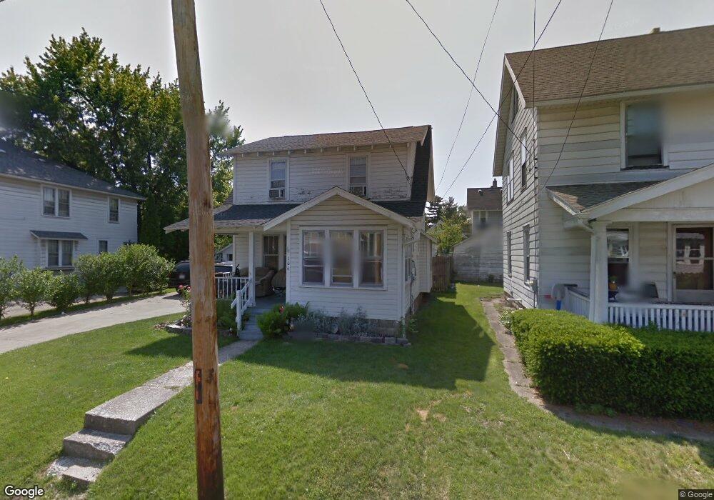
106 Lind Ave Mansfield, OH 44903
Estimated Value: $87,000 - $106,391
3
Beds
1
Bath
1,056
Sq Ft
$92/Sq Ft
Est. Value
About This Home
This home is located at 106 Lind Ave, Mansfield, OH 44903 and is currently estimated at $97,598, approximately $92 per square foot. 106 Lind Ave is a home located in Richland County with nearby schools including Goal Digital Academy, St. Peter's High School/Junior High, and St. Peter's Elementary/Montessori School.
Ownership History
Date
Name
Owned For
Owner Type
Purchase Details
Closed on
Jul 24, 2013
Sold by
Hock Chad A and Hock Katherine D
Bought by
Hock Chad A and Hock Katherine D
Current Estimated Value
Home Financials for this Owner
Home Financials are based on the most recent Mortgage that was taken out on this home.
Original Mortgage
$49,329
Outstanding Balance
$32,200
Interest Rate
4.62%
Mortgage Type
FHA
Estimated Equity
$65,398
Purchase Details
Closed on
Feb 16, 2004
Sold by
Hall James G and Hall Beatrice
Bought by
Hock Chad A
Home Financials for this Owner
Home Financials are based on the most recent Mortgage that was taken out on this home.
Original Mortgage
$62,912
Interest Rate
5.96%
Mortgage Type
FHA
Create a Home Valuation Report for This Property
The Home Valuation Report is an in-depth analysis detailing your home's value as well as a comparison with similar homes in the area
Home Values in the Area
Average Home Value in this Area
Purchase History
| Date | Buyer | Sale Price | Title Company |
|---|---|---|---|
| Hock Chad A | -- | Southern Title | |
| Hock Chad A | $63,900 | Lawyers Title |
Source: Public Records
Mortgage History
| Date | Status | Borrower | Loan Amount |
|---|---|---|---|
| Open | Hock Chad A | $49,329 | |
| Closed | Hock Chad A | $62,912 |
Source: Public Records
Tax History Compared to Growth
Tax History
| Year | Tax Paid | Tax Assessment Tax Assessment Total Assessment is a certain percentage of the fair market value that is determined by local assessors to be the total taxable value of land and additions on the property. | Land | Improvement |
|---|---|---|---|---|
| 2024 | $1,070 | $22,860 | $2,770 | $20,090 |
| 2023 | $1,070 | $22,860 | $2,770 | $20,090 |
| 2022 | $924 | $16,530 | $2,270 | $14,260 |
| 2021 | $930 | $16,530 | $2,270 | $14,260 |
| 2020 | $951 | $16,530 | $2,270 | $14,260 |
| 2019 | $1,054 | $16,530 | $2,270 | $14,260 |
| 2018 | $1,040 | $16,530 | $2,270 | $14,260 |
| 2017 | $1,031 | $16,530 | $2,270 | $14,260 |
| 2016 | $1,051 | $16,660 | $2,390 | $14,270 |
| 2015 | $1,051 | $16,660 | $2,390 | $14,270 |
| 2014 | $991 | $16,660 | $2,390 | $14,270 |
| 2012 | $397 | $17,530 | $2,500 | $15,030 |
Source: Public Records
Map
Nearby Homes
- 118 Lind Ave
- 114 Vennum Ave
- 37 Baldwin Ave
- 135 Wood St
- 76 Bartley Ave
- 38 Baldwin Ave
- 450 Glessner Ave
- 88 Sherman Ave
- 257 Wood St
- 131 Sturges Ave
- 126 Dawson Ave
- 2 Bowman St
- 470 Woodward Ave
- 406 Sherman Place
- 80 Rowland Ave
- 24 Stewart Ave S
- 71 Glenwood Blvd
- 116 Penn Ave
- 21 Glenwood Blvd
- 132 Sycamore St
- 104 Lind Ave
- 114 Lind Ave Unit 116
- 107 Vennum Ave Unit 109
- 101 Vennum Ave
- 113 Vennum Ave Unit 115
- 95 Vennum Ave Unit 95 Vennum
- 120 Lind Ave
- 109 Lind Ave
- 119 Vennum Ave
- 105 Lind Ave
- 115 Lind Ave
- 91 Vennum Ave
- 91 Lind Ave
- 99 Lind Ave
- 124 Lind Ave
- 119 Lind Ave
- 123 Vennum Ave
- 87 Vennum Ave
- 129 Vennum Ave
- 100 Vennum Ave