106 Live Oak Ct Fort Worth, TX 76108
Far West Fort Worth NeighborhoodEstimated Value: $757,000 - $860,000
--
Bed
--
Bath
3,566
Sq Ft
$228/Sq Ft
Est. Value
About This Home
This home is located at 106 Live Oak Ct, Fort Worth, TX 76108 and is currently estimated at $813,341, approximately $228 per square foot. 106 Live Oak Ct is a home located in Parker County with nearby schools including McCall Elementary School, Don R Daniel Ninth Grade Campus, and McAnally Intermediate School.
Ownership History
Date
Name
Owned For
Owner Type
Purchase Details
Closed on
May 5, 2021
Sold by
Jopling Greg and Jopling Denise
Bought by
Jopling Gregory C and Jopling Linda Denise
Current Estimated Value
Home Financials for this Owner
Home Financials are based on the most recent Mortgage that was taken out on this home.
Original Mortgage
$178,200
Outstanding Balance
$161,494
Interest Rate
3.1%
Mortgage Type
New Conventional
Estimated Equity
$651,847
Purchase Details
Closed on
Mar 20, 1992
Bought by
Jopling Jopling L and Jopling Greg
Purchase Details
Closed on
Jan 1, 1901
Bought by
Jopling Jopling L and Jopling Greg
Create a Home Valuation Report for This Property
The Home Valuation Report is an in-depth analysis detailing your home's value as well as a comparison with similar homes in the area
Home Values in the Area
Average Home Value in this Area
Purchase History
| Date | Buyer | Sale Price | Title Company |
|---|---|---|---|
| Jopling Gregory C | -- | Texas Title | |
| Jopling Jopling L | -- | -- | |
| Jopling Jopling L | -- | -- |
Source: Public Records
Mortgage History
| Date | Status | Borrower | Loan Amount |
|---|---|---|---|
| Open | Jopling Gregory C | $178,200 |
Source: Public Records
Tax History Compared to Growth
Tax History
| Year | Tax Paid | Tax Assessment Tax Assessment Total Assessment is a certain percentage of the fair market value that is determined by local assessors to be the total taxable value of land and additions on the property. | Land | Improvement |
|---|---|---|---|---|
| 2025 | $6,949 | $811,801 | -- | -- |
| 2024 | $6,949 | $738,001 | -- | -- |
| 2023 | $6,949 | $670,910 | $0 | $0 |
| 2022 | $12,246 | $622,740 | $239,890 | $382,850 |
| 2021 | $12,038 | $622,740 | $239,890 | $382,850 |
| 2020 | $10,960 | $504,070 | $171,350 | $332,720 |
| 2019 | $10,826 | $504,070 | $171,350 | $332,720 |
| 2018 | $9,869 | $426,100 | $171,350 | $254,750 |
| 2017 | $9,363 | $399,170 | $171,350 | $227,820 |
| 2016 | $9,091 | $387,570 | $164,500 | $223,070 |
| 2015 | $8,576 | $387,570 | $164,500 | $223,070 |
| 2014 | $7,623 | $361,260 | $123,370 | $237,890 |
Source: Public Records
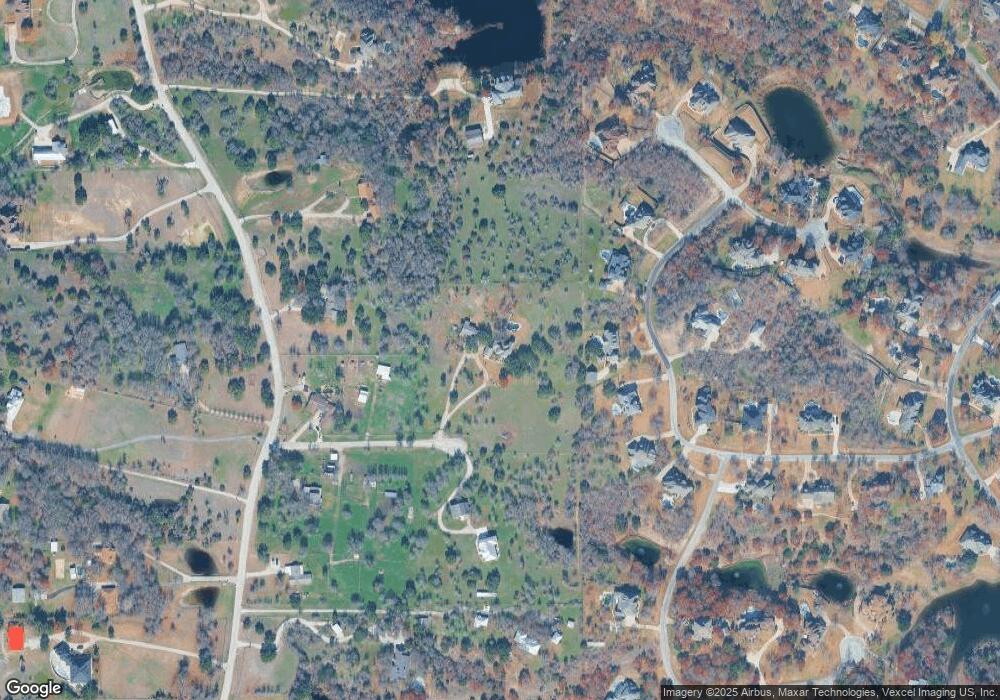
Map
Nearby Homes
- 313 Silver Canyon Dr
- 301 Silver Canyon Dr
- 104 Woodview Creek Trail
- 142 Crown Ridge Ct
- 138 Bluff Creek Rd
- 100 Stone Canyon Cir
- 200 W Bozeman Ln
- 101 E Bozeman Ln
- 141 E Bozeman Ln
- 13823 Llano Dr
- 108 Stone Canyon Cir
- 813 Remuda Dr
- 332 Tiara Trail
- 741 Remuda Dr
- 328 Tiara Trail
- 175 N Boyce Ln
- 109 Arroyo Ct
- 420 Cattlebaron Parc Dr
- 189 Stoney Ridge
- 118 Corona Ct
- 339 Silver Canyon Dr
- 333 Silver Canyon Dr
- 343 Silver Canyon Dr Unit DRIVE
- 816 Meadow Hill Rd
- 327 Silver Canyon Dr
- 100 Live Oak Ct
- 105 Live Oak Ct
- 347 Silver Canyon Dr
- 338 Silver Canyon Dr
- 336 Silver Canyon Dr
- 323 Silver Canyon Dr
- 320 Silver Canyon Dr
- 400 Silver Canyon Ct
- 850 Meadow Hill Rd
- 836 Meadow Hill Rd
- 106 Silver Valley Ln
- 718 Meadow Hill Rd
- 319 Silver Canyon Dr
- 201 N Remuda Dr
- 724 Meadow Hill Rd