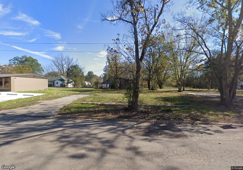
106 Main St Mulberry, AR 72947
Estimated Value: $81,831 - $153,000
--
Bed
1
Bath
1,044
Sq Ft
$111/Sq Ft
Est. Value
About This Home
This home is located at 106 Main St, Mulberry, AR 72947 and is currently estimated at $115,944, approximately $111 per square foot. 106 Main St is a home located in Crawford County with nearby schools including Marvin Primary School, Pleasant View Junior High School, and Mulberry High School.
Ownership History
Date
Name
Owned For
Owner Type
Purchase Details
Closed on
Jul 5, 2024
Sold by
Commissioner Of State Lands
Bought by
Merechka Lynn and Merechka Mary
Current Estimated Value
Purchase Details
Closed on
May 10, 2007
Sold by
County Of Crawford
Bought by
Merechka Lynn
Purchase Details
Closed on
Feb 8, 2002
Bought by
Branch-Burrow
Purchase Details
Closed on
Jul 8, 1999
Bought by
Burrow-Branch
Purchase Details
Closed on
Feb 15, 1996
Bought by
Bell-Burrow
Create a Home Valuation Report for This Property
The Home Valuation Report is an in-depth analysis detailing your home's value as well as a comparison with similar homes in the area
Home Values in the Area
Average Home Value in this Area
Purchase History
| Date | Buyer | Sale Price | Title Company |
|---|---|---|---|
| Merechka Lynn | $446 | None Listed On Document | |
| Merechka Lynn | $22,000 | -- | |
| Branch-Burrow | -- | -- | |
| Burrow-Branch | -- | -- | |
| Bell-Burrow | $38,000 | -- |
Source: Public Records
Tax History Compared to Growth
Tax History
| Year | Tax Paid | Tax Assessment Tax Assessment Total Assessment is a certain percentage of the fair market value that is determined by local assessors to be the total taxable value of land and additions on the property. | Land | Improvement |
|---|---|---|---|---|
| 2025 | $69 | $1,970 | $1,500 | $470 |
| 2024 | $63 | $1,970 | $1,500 | $470 |
| 2023 | $58 | $1,970 | $1,500 | $470 |
| 2022 | $49 | $1,010 | $850 | $160 |
| 2021 | $49 | $1,010 | $850 | $160 |
| 2020 | $49 | $1,010 | $850 | $160 |
| 2019 | $49 | $1,010 | $850 | $160 |
| 2018 | $442 | $9,080 | $850 | $8,230 |
| 2017 | $426 | $9,080 | $850 | $8,230 |
| 2016 | $426 | $9,080 | $850 | $8,230 |
| 2015 | $426 | $9,080 | $850 | $8,230 |
| 2014 | $426 | $9,080 | $850 | $8,230 |
Source: Public Records
Map
Nearby Homes
- 414 Carter Ave
- 210 W 2nd St
- 101 Reynolds St
- 519 Church Ave
- 770 Church Ave
- 36 W 8th St
- 8 W 10th St
- TBD Duncan Rd
- 1321 Old Graphic St
- TBD (lot 29) Keystone Dr
- TBD (lot 30) Keystone Dr
- 5527 Wire Rd
- 2034 Mulberry Wire Rd
- 2150 Old Graphic St
- 206 & 216 W 5th St
- 3042 Mulberry Highway 64 W
- TBD Exsorbet Dr
- 9643 Wire Rd
- TBD Industrial Park Dr
- 3218 Mulberry Wire Rd