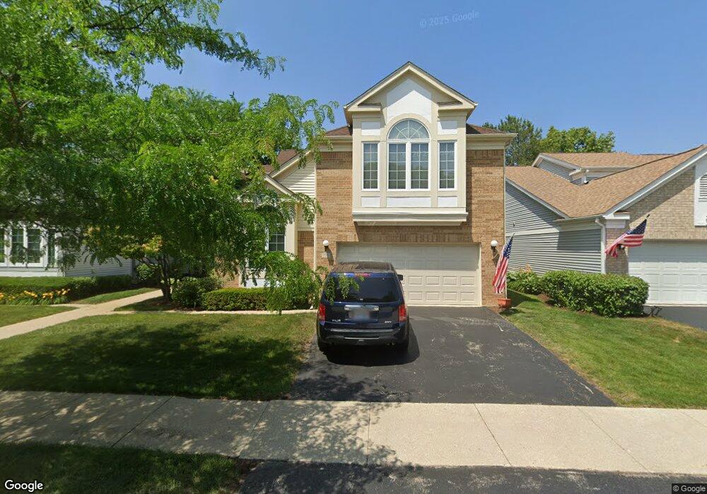
106 Manchester Dr Buffalo Grove, IL 60089
Estimated Value: $543,000 - $584,000
3
Beds
3
Baths
2,160
Sq Ft
$261/Sq Ft
Est. Value
About This Home
This home is located at 106 Manchester Dr, Buffalo Grove, IL 60089 and is currently estimated at $564,559, approximately $261 per square foot. 106 Manchester Dr is a home located in Lake County with nearby schools including Ivy Hall Elementary School, Twin Groves Middle School, and Adlai E Stevenson High School.
Ownership History
Date
Name
Owned For
Owner Type
Purchase Details
Closed on
Feb 9, 2010
Sold by
Kearney Barbara
Bought by
Das Manoj K and Liang Shaojing
Current Estimated Value
Home Financials for this Owner
Home Financials are based on the most recent Mortgage that was taken out on this home.
Original Mortgage
$232,800
Outstanding Balance
$153,997
Interest Rate
5.02%
Mortgage Type
New Conventional
Estimated Equity
$410,562
Purchase Details
Closed on
Oct 7, 1994
Sold by
Cole Taylor Bank
Bought by
Kearney Barbara
Create a Home Valuation Report for This Property
The Home Valuation Report is an in-depth analysis detailing your home's value as well as a comparison with similar homes in the area
Home Values in the Area
Average Home Value in this Area
Purchase History
| Date | Buyer | Sale Price | Title Company |
|---|---|---|---|
| Das Manoj K | $291,000 | None Available | |
| Kearney Barbara | $293,500 | Chicago Title Insurance Co |
Source: Public Records
Mortgage History
| Date | Status | Borrower | Loan Amount |
|---|---|---|---|
| Open | Das Manoj K | $232,800 |
Source: Public Records
Tax History Compared to Growth
Tax History
| Year | Tax Paid | Tax Assessment Tax Assessment Total Assessment is a certain percentage of the fair market value that is determined by local assessors to be the total taxable value of land and additions on the property. | Land | Improvement |
|---|---|---|---|---|
| 2024 | $14,238 | $147,100 | $38,245 | $108,855 |
| 2023 | $13,997 | $138,800 | $36,087 | $102,713 |
| 2022 | $13,997 | $134,234 | $34,900 | $99,334 |
| 2021 | $13,473 | $132,787 | $34,524 | $98,263 |
| 2020 | $13,154 | $133,240 | $34,642 | $98,598 |
| 2019 | $12,967 | $132,749 | $34,514 | $98,235 |
| 2018 | $5,865 | $116,164 | $37,515 | $78,649 |
| 2017 | $10,807 | $113,452 | $36,639 | $76,813 |
| 2016 | $10,548 | $108,640 | $35,085 | $73,555 |
| 2015 | $10,306 | $101,599 | $32,811 | $68,788 |
| 2014 | $9,613 | $93,418 | $35,239 | $58,179 |
| 2012 | $8,720 | $93,606 | $35,310 | $58,296 |
Source: Public Records
Map
Nearby Homes
- 232 Manor Dr Unit 12C
- 412 Chateau Dr
- 25 Crestview Terrace
- 728 Old Checker Rd Unit C4
- 746 Old Checker Rd Unit E5
- 36 Crestview Terrace
- 610 Maple Dr
- 630 Woodhollow Ln
- 690 Dunhill Dr
- 496 Raupp Blvd
- 1112 Auburn Ln
- 220 Osage Ln
- 620 Twisted Oak Ln
- 760 Checker Dr
- 810 Silver Rock Ln
- 20665 N Weiland Rd
- 10 Old Oak Dr Unit 103
- 938 Hidden Lake Dr
- 612 White Pine Rd
- 588 Fairway View Dr Unit 2E
- 108 Manchester Dr
- 108 Manchester Dr Unit 205
- 104 Manchester Dr
- 110 Manchester Dr
- 102 Manchester Dr
- 105 Manchester Dr
- 103 Manchester Dr
- 107 Manchester Dr
- 100 Manchester Dr
- 140 Manchester Dr Unit 310
- 140 Manchester Dr Unit 405
- 140 Manchester Dr Unit 301
- 140 Manchester Dr Unit 4414
- 140 Manchester Dr Unit 4412
- 140 Manchester Dr Unit 4411
- 140 Manchester Dr Unit 4410
- 140 Manchester Dr Unit 4409
- 140 Manchester Dr Unit 4408
- 140 Manchester Dr Unit 4407
- 140 Manchester Dr Unit 4406