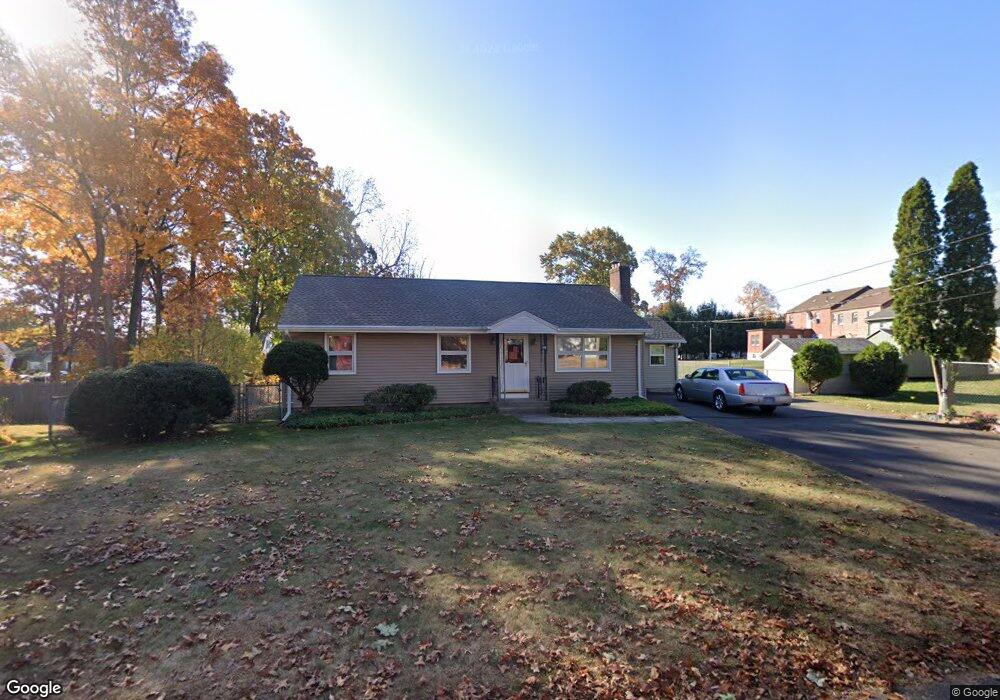
106 Maplehurst Ave New Britain, CT 06053
Estimated Value: $245,000 - $291,000
3
Beds
1
Bath
1,008
Sq Ft
$273/Sq Ft
Est. Value
About This Home
This home is located at 106 Maplehurst Ave, New Britain, CT 06053 and is currently estimated at $275,307, approximately $273 per square foot. 106 Maplehurst Ave is a home located in Hartford County with nearby schools including Gaffney School and Slade Middle School.
Ownership History
Date
Name
Owned For
Owner Type
Purchase Details
Closed on
Mar 15, 2011
Sold by
Lipka Joseph J
Bought by
Chaplinsky Paul
Current Estimated Value
Home Financials for this Owner
Home Financials are based on the most recent Mortgage that was taken out on this home.
Original Mortgage
$70,000
Outstanding Balance
$48,188
Interest Rate
4.83%
Estimated Equity
$227,120
Create a Home Valuation Report for This Property
The Home Valuation Report is an in-depth analysis detailing your home's value as well as a comparison with similar homes in the area
Home Values in the Area
Average Home Value in this Area
Purchase History
| Date | Buyer | Sale Price | Title Company |
|---|---|---|---|
| Chaplinsky Paul | $133,000 | -- |
Source: Public Records
Mortgage History
| Date | Status | Borrower | Loan Amount |
|---|---|---|---|
| Open | Chaplinsky Paul | $70,000 |
Source: Public Records
Tax History
| Year | Tax Paid | Tax Assessment Tax Assessment Total Assessment is a certain percentage of the fair market value that is determined by local assessors to be the total taxable value of land and additions on the property. | Land | Improvement |
|---|---|---|---|---|
| 2025 | $5,145 | $131,320 | $66,360 | $64,960 |
| 2024 | $5,199 | $131,320 | $66,360 | $64,960 |
| 2023 | $5,027 | $131,320 | $66,360 | $64,960 |
| 2022 | $4,213 | $85,120 | $30,590 | $54,530 |
| 2021 | $4,213 | $85,120 | $30,590 | $54,530 |
| 2020 | $4,299 | $85,120 | $30,590 | $54,530 |
| 2019 | $4,299 | $85,120 | $30,590 | $54,530 |
| 2018 | $4,299 | $85,120 | $30,590 | $54,530 |
| 2017 | $3,998 | $79,170 | $25,480 | $53,690 |
| 2016 | $3,998 | $79,170 | $25,480 | $53,690 |
| 2015 | $3,879 | $79,170 | $25,480 | $53,690 |
| 2014 | $3,879 | $79,170 | $25,480 | $53,690 |
Source: Public Records
Map
Nearby Homes
- 98 Maplehurst Ave
- 229 Pershing Ave
- 235 Pershing Ave
- 95 Hillhurst Ave
- 221 Pershing Ave
- 245 Pershing Ave
- 86 Maplehurst Ave
- 115 Hillhurst Ave
- 91 Maplehurst Ave
- 255 Pershing Ave
- 80 Maplehurst Ave
- 226 Pershing Ave
- 234 Pershing Ave
- 65 Hillhurst Ave
- 222 Pershing Ave
- 218 Pershing Ave
- 248 Pershing Ave
- 81 Maplehurst Ave
- 74 Maplehurst Ave
- 265 Pershing Ave
Your Personal Tour Guide
Ask me questions while you tour the home.