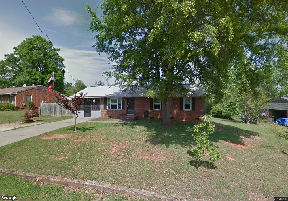
106 Marigold St Kings Mountain, NC 28086
Estimated Value: $178,000 - $223,000
--
Bed
--
Bath
1,128
Sq Ft
$174/Sq Ft
Est. Value
About This Home
This home is located at 106 Marigold St, Kings Mountain, NC 28086 and is currently estimated at $196,166, approximately $173 per square foot. 106 Marigold St is a home located in Cleveland County with nearby schools including West Elementary School, Kings Mountain Middle, and Kings Mountain Intermediate School.
Ownership History
Date
Name
Owned For
Owner Type
Purchase Details
Closed on
Oct 9, 2019
Sold by
Arndt Brackett Billie and Brackett Donald Mark
Bought by
Davis Amanda G and Davis Michael G
Current Estimated Value
Home Financials for this Owner
Home Financials are based on the most recent Mortgage that was taken out on this home.
Original Mortgage
$110,500
Outstanding Balance
$73,668
Interest Rate
3.5%
Mortgage Type
New Conventional
Estimated Equity
$122,498
Create a Home Valuation Report for This Property
The Home Valuation Report is an in-depth analysis detailing your home's value as well as a comparison with similar homes in the area
Home Values in the Area
Average Home Value in this Area
Purchase History
| Date | Buyer | Sale Price | Title Company |
|---|---|---|---|
| Davis Amanda G | $130,000 | None Available |
Source: Public Records
Mortgage History
| Date | Status | Borrower | Loan Amount |
|---|---|---|---|
| Open | Davis Amanda G | $110,500 |
Source: Public Records
Tax History Compared to Growth
Tax History
| Year | Tax Paid | Tax Assessment Tax Assessment Total Assessment is a certain percentage of the fair market value that is determined by local assessors to be the total taxable value of land and additions on the property. | Land | Improvement |
|---|---|---|---|---|
| 2025 | $1,724 | $168,235 | $19,440 | $148,795 |
| 2024 | $1,111 | $92,987 | $19,440 | $73,547 |
| 2023 | $1,105 | $92,987 | $19,440 | $73,547 |
| 2022 | $1,059 | $92,987 | $19,440 | $73,547 |
| 2021 | $1,064 | $92,987 | $19,440 | $73,547 |
| 2020 | $768 | $64,832 | $14,094 | $50,738 |
| 2019 | $768 | $64,832 | $14,094 | $50,738 |
| 2018 | $766 | $64,832 | $14,094 | $50,738 |
| 2017 | $763 | $64,832 | $14,094 | $50,738 |
| 2016 | $764 | $64,832 | $14,094 | $50,738 |
| 2015 | $857 | $74,858 | $14,094 | $60,764 |
| 2014 | $857 | $74,858 | $14,094 | $60,764 |
Source: Public Records
Map
Nearby Homes
- 112 Fulton Dr
- 804 Lee St
- 0 Southridge Dr Unit CAR4298120
- 430 Fulton Dr
- 417 Phifer Rd
- 442 Phifer Rd
- 245 Paige Rd
- 230 Paige Rd
- 227 Paige Rd
- 218 Paige Rd
- 811 W Gold St Unit 26
- 212 Paige Rd
- 149 Parker Claire Ln
- 123 Parker Claire Ln
- 143 Parker Claire Ln
- 137 Parker Claire Ln
- 157 Parker Claire Ln
- 104 Parker Claire Ln
- 207 Parker Claire Ln
- 219 Parker Claire Ln
- 104 Marigold St
- 108 Marigold St
- 135 Mill Creek Dr
- 110 Marigold St
- 131 Mill Creek Dr
- 132 Mill Creek Dr
- 102 Marigold St
- 105 Marigold St
- 103 Marigold St
- 103 Marigold Ave
- 200 Marigold St
- 107 Marigold St
- 109 Marigold St
- 100 Marigold St
- 129 Mill Creek Dr
- 130 Mill Creek Dr
- 202 Marigold St
- 909 Battleflag Ct
- 201 Marigold St
- 128 Mill Creek Dr