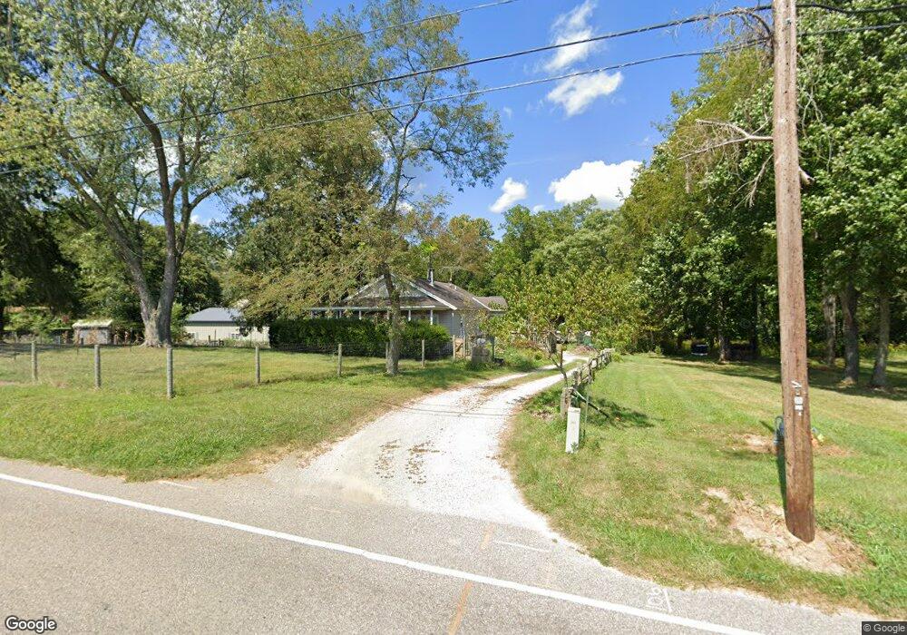
106 Masonic Park Rd Marietta, OH 45750
Estimated Value: $177,250 - $204,000
2
Beds
1
Bath
994
Sq Ft
$196/Sq Ft
Est. Value
About This Home
This home is located at 106 Masonic Park Rd, Marietta, OH 45750 and is currently estimated at $194,563, approximately $195 per square foot. 106 Masonic Park Rd is a home located in Washington County with nearby schools including Marietta High School, St. Mary Catholic School, and Marietta Christian School.
Ownership History
Date
Name
Owned For
Owner Type
Purchase Details
Closed on
Aug 28, 2019
Sold by
Wasmund Daniel A
Bought by
Lincoln Kelly M
Current Estimated Value
Purchase Details
Closed on
Aug 29, 1995
Bought by
Wasmund Daniel
Purchase Details
Closed on
Jan 28, 1993
Bought by
Stewart William E Life E
Purchase Details
Closed on
Dec 20, 1991
Purchase Details
Closed on
Nov 21, 1988
Purchase Details
Closed on
Sep 25, 1986
Create a Home Valuation Report for This Property
The Home Valuation Report is an in-depth analysis detailing your home's value as well as a comparison with similar homes in the area
Home Values in the Area
Average Home Value in this Area
Purchase History
| Date | Buyer | Sale Price | Title Company |
|---|---|---|---|
| Lincoln Kelly M | $170,000 | None Available | |
| Wasmund Daniel | -- | -- | |
| Stewart William E Life E | $37,500 | -- | |
| -- | -- | -- | |
| -- | -- | -- | |
| -- | -- | -- |
Source: Public Records
Tax History Compared to Growth
Tax History
| Year | Tax Paid | Tax Assessment Tax Assessment Total Assessment is a certain percentage of the fair market value that is determined by local assessors to be the total taxable value of land and additions on the property. | Land | Improvement |
|---|---|---|---|---|
| 2024 | $1,755 | $43,230 | $14,090 | $29,140 |
| 2023 | $1,755 | $43,230 | $14,090 | $29,140 |
| 2022 | $1,544 | $43,230 | $14,090 | $29,140 |
| 2021 | $1,361 | $35,670 | $11,090 | $24,580 |
| 2020 | $1,367 | $35,670 | $11,090 | $24,580 |
| 2019 | $1,364 | $35,670 | $11,090 | $24,580 |
| 2018 | $1,232 | $31,160 | $9,240 | $21,920 |
| 2017 | $1,229 | $31,160 | $9,240 | $21,920 |
| 2016 | $1,227 | $31,160 | $9,240 | $21,920 |
| 2015 | $1,196 | $29,030 | $8,860 | $20,170 |
| 2014 | $1,982 | $29,030 | $8,860 | $20,170 |
| 2013 | $596 | $29,030 | $8,860 | $20,170 |
Source: Public Records
Map
Nearby Homes
- 207 Lindsey Ave
- 126 Sylvan Way
- 123 Deerwalk Cir
- 202 Deerwalk Cir
- 208 Marshall Rd
- 102 Woodrow St
- 101 Winters Dr
- 4 Julie Ln
- 520 Millgate Rd
- 40 Masonic Park Ln
- 132 Mound Dr
- 111 Hanson Dr
- 107 Country Meadow Dr
- 332 Muskingum Dr
- 315 Muskingum Dr
- 0 Academy Dr
- 120 Woodcrest Dr
- 1099 Colegate Dr
- 107 Strecker Hill
- 1 Hickory Ln
- 114 Masonic Park Rd
- 116 Masonic Park Rd
- 101 Glen Eagle Dr
- 120 Masonic Park Rd
- 103 Glen Eagle Dr
- Lot 14 Glen Eagle Dr
- Lot 12 Glen Eagle Dr
- Lot 10 Glen Eagle Dr
- 00 Glen Eagle Dr
- 100 Glen Eagle Dr
- 105 Glen Eagle Dr
- 102 Glen Eagle Dr
- 122 Masonic Park Rd
- 107 Glen Eagle Dr
- 104 Glen Eagle Dr
- 0 Masonic Park Rd Unit M229697
- 0 Masonic Park Rd Unit M236381
- 0 Masonic Park Dr Rt 3
- 0 Masonic Park Rd Unit 4251231
- 0 Masonic Park Rd Unit 4223246