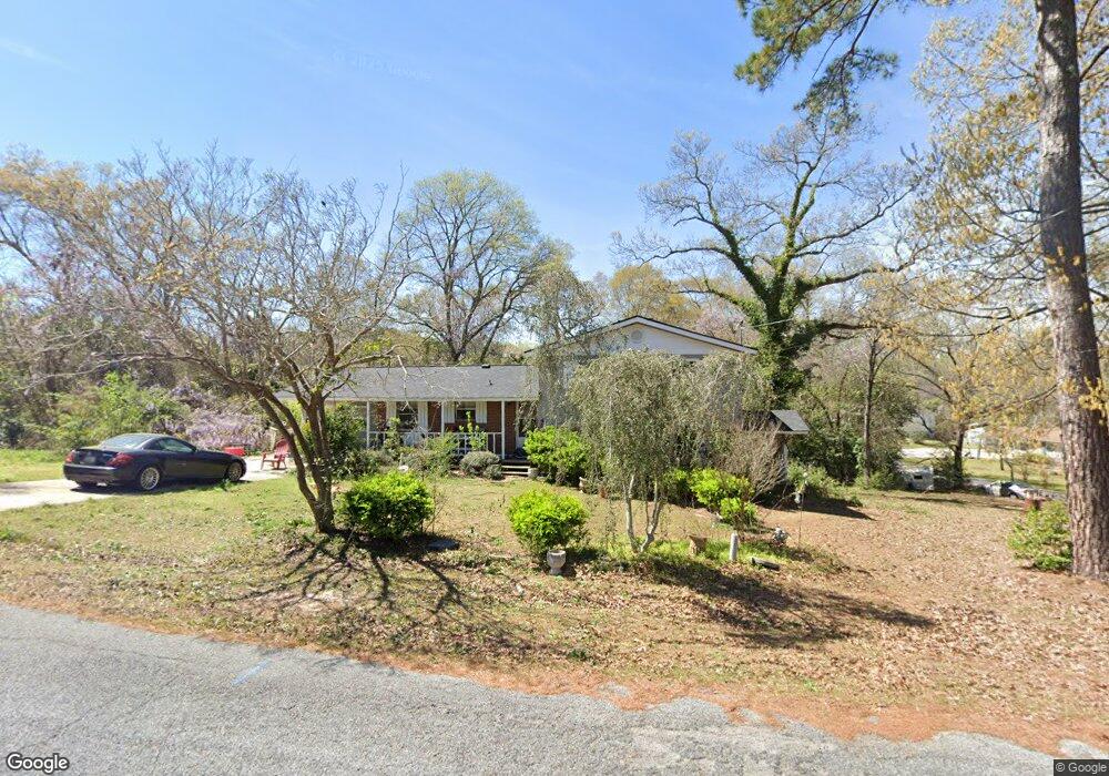
106 Michael Ct Bonaire, GA 31005
Estimated Value: $219,000 - $244,000
--
Bed
2
Baths
1,950
Sq Ft
$117/Sq Ft
Est. Value
About This Home
This home is located at 106 Michael Ct, Bonaire, GA 31005 and is currently estimated at $228,851, approximately $117 per square foot. 106 Michael Ct is a home located in Houston County with nearby schools including Bonaire Elementary School, Huntington Middle School, and Warner Robins High School.
Ownership History
Date
Name
Owned For
Owner Type
Purchase Details
Closed on
Nov 21, 1986
Sold by
Newman Lee L and Newman Laura A
Bought by
Henderson William K and Henderson Dana B
Current Estimated Value
Purchase Details
Closed on
Dec 21, 1979
Sold by
Grove Charles H and Grove Virginia L
Bought by
Newman Lee L and Newman Laura A
Purchase Details
Closed on
Oct 26, 1977
Sold by
Weeks Johnny F
Bought by
Grove Charles H and Grove Virginia L
Purchase Details
Closed on
Oct 13, 1969
Sold by
Green Kenneth A
Bought by
Weeks Johnny F
Purchase Details
Closed on
Apr 21, 1969
Sold by
Ivester James C
Bought by
Green Kenneth A
Purchase Details
Closed on
Oct 24, 1968
Sold by
Selph Jimmie J
Bought by
Ivester James C
Purchase Details
Closed on
Jan 18, 1968
Sold by
Self William D
Bought by
Selph Jimmie J
Purchase Details
Closed on
Feb 7, 1967
Bought by
Self William D
Create a Home Valuation Report for This Property
The Home Valuation Report is an in-depth analysis detailing your home's value as well as a comparison with similar homes in the area
Home Values in the Area
Average Home Value in this Area
Purchase History
| Date | Buyer | Sale Price | Title Company |
|---|---|---|---|
| Henderson William K | $59,800 | -- | |
| Newman Lee L | -- | -- | |
| Grove Charles H | $38,800 | -- | |
| Weeks Johnny F | -- | -- | |
| Green Kenneth A | $20,000 | -- | |
| Ivester James C | -- | -- | |
| Selph Jimmie J | -- | -- | |
| Self William D | -- | -- |
Source: Public Records
Tax History Compared to Growth
Tax History
| Year | Tax Paid | Tax Assessment Tax Assessment Total Assessment is a certain percentage of the fair market value that is determined by local assessors to be the total taxable value of land and additions on the property. | Land | Improvement |
|---|---|---|---|---|
| 2024 | $1,230 | $53,440 | $9,400 | $44,040 |
| 2023 | $1,108 | $47,840 | $9,400 | $38,440 |
| 2022 | $1,023 | $44,320 | $9,400 | $34,920 |
| 2021 | $934 | $40,440 | $9,400 | $31,040 |
| 2020 | $927 | $39,960 | $9,400 | $30,560 |
| 2019 | $927 | $39,960 | $9,400 | $30,560 |
| 2018 | $927 | $39,960 | $9,400 | $30,560 |
| 2017 | $927 | $39,960 | $9,400 | $30,560 |
| 2016 | $929 | $39,960 | $9,400 | $30,560 |
| 2015 | $931 | $39,960 | $9,400 | $30,560 |
| 2014 | -- | $39,520 | $9,400 | $30,120 |
| 2013 | -- | $39,520 | $9,400 | $30,120 |
Source: Public Records
Map
Nearby Homes
- 0 Michael Ct Unit 10532063
- 0 Michael Ct Unit 179429
- 0 Michael Ct Unit 252716
- 307 Fleming Dr
- 106 Mulligan Ct
- 202 Sandy Run Rd
- 114 Saint Augustine Dr
- 104 Old Perry Rd
- 100 Deerwood Dr
- 204 Thornton Dr
- 102 Harmony Path
- 107 Shadowood Dr
- 109 Harmony Path
- 108 Savannah Ln
- 91 Stathams Way
- 305 Edgarton Way
- 315 Apalachee Way
- 503 Edgarton Way
- 306 Michael St
- 0 Michael Ct Unit 10506661
- 0 Michael Ct Unit 162883
- 0 Michael Ct Unit 9075499
- 0 Michael Ct
- 214 Michael Ct
- 300 Michael St
- 309 Michael St
- 311 Michael St
- 308 Fleming Dr
- 202 Michael St
- 307 Michael St
- 103 Michael Ct
- 212 Michael Ct
- 310 Fleming Dr
- 306 Fleming Dr
- 305 Michael St
- 301 Michael St
- 304 Fleming Dr
- 305 Fleming Dr