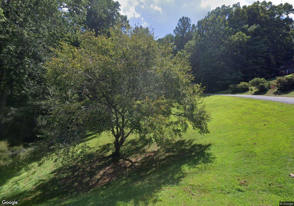
106 Michael Ct Leicester, NC 28748
Estimated Value: $582,000 - $667,000
3
Beds
4
Baths
3,098
Sq Ft
$203/Sq Ft
Est. Value
About This Home
This home is located at 106 Michael Ct, Leicester, NC 28748 and is currently estimated at $629,435, approximately $203 per square foot. 106 Michael Ct is a home located in Buncombe County with nearby schools including Leicester Elementary School, Clyde A. Erwin High School, and Clyde A. Erwin Middle School.
Ownership History
Date
Name
Owned For
Owner Type
Purchase Details
Closed on
Jul 2, 2003
Sold by
Devane Carter Joey and Carter Dereth Sue
Bought by
Eppler Dwayne J and Eppler Melody T
Current Estimated Value
Home Financials for this Owner
Home Financials are based on the most recent Mortgage that was taken out on this home.
Original Mortgage
$210,000
Interest Rate
5.3%
Mortgage Type
Unknown
Purchase Details
Closed on
Jul 31, 1996
Sold by
Snelson T Mitch
Bought by
Carter and Carter
Create a Home Valuation Report for This Property
The Home Valuation Report is an in-depth analysis detailing your home's value as well as a comparison with similar homes in the area
Home Values in the Area
Average Home Value in this Area
Purchase History
| Date | Buyer | Sale Price | Title Company |
|---|---|---|---|
| Eppler Dwayne J | $2,500 | -- | |
| Carter | $10,000 | -- |
Source: Public Records
Mortgage History
| Date | Status | Borrower | Loan Amount |
|---|---|---|---|
| Closed | Eppler Dwayne J | $210,000 |
Source: Public Records
Tax History
| Year | Tax Paid | Tax Assessment Tax Assessment Total Assessment is a certain percentage of the fair market value that is determined by local assessors to be the total taxable value of land and additions on the property. | Land | Improvement |
|---|---|---|---|---|
| 2025 | $2,430 | $369,400 | $38,100 | $331,300 |
| 2024 | $2,430 | $369,400 | $38,100 | $331,300 |
| 2023 | $2,430 | $369,400 | $38,100 | $331,300 |
| 2022 | $2,321 | $369,400 | $0 | $0 |
| 2021 | $2,321 | $369,400 | $0 | $0 |
| 2020 | $2,240 | $334,800 | $0 | $0 |
| 2019 | $2,240 | $334,800 | $0 | $0 |
| 2018 | $2,240 | $334,800 | $0 | $0 |
| 2017 | $2,273 | $283,200 | $0 | $0 |
| 2016 | $2,107 | $283,200 | $0 | $0 |
| 2015 | $2,107 | $283,200 | $0 | $0 |
| 2014 | $2,022 | $283,200 | $0 | $0 |
Source: Public Records
Map
Nearby Homes
- 99999 Lawson Ridge Rd Unit 13
- 99999 Lawson Ridge Rd Unit 11
- 65 Lawson Ridge Rd
- 124 Shadow View Dr
- 36 Wessolleck Dr
- 99999 Old Newfound Rd
- 16 Kinsale Dr
- 99999 New Leicester Hwy
- 52 Gouges Branch Rd
- 13 Wild Pine Ct
- 167 Goughes Branch Rd
- 4 Carter Hill Dr
- 41 Alaskan Dr
- 1552 Bear Creek Rd
- 49 Temujin Dr
- 7 Ruff Rd
- 7 Brookshire Rd
- 129 Oak Trails Pass
- 6 Shady Creek Ln
- 1293 Bear Creek Rd
Your Personal Tour Guide
Ask me questions while you tour the home.