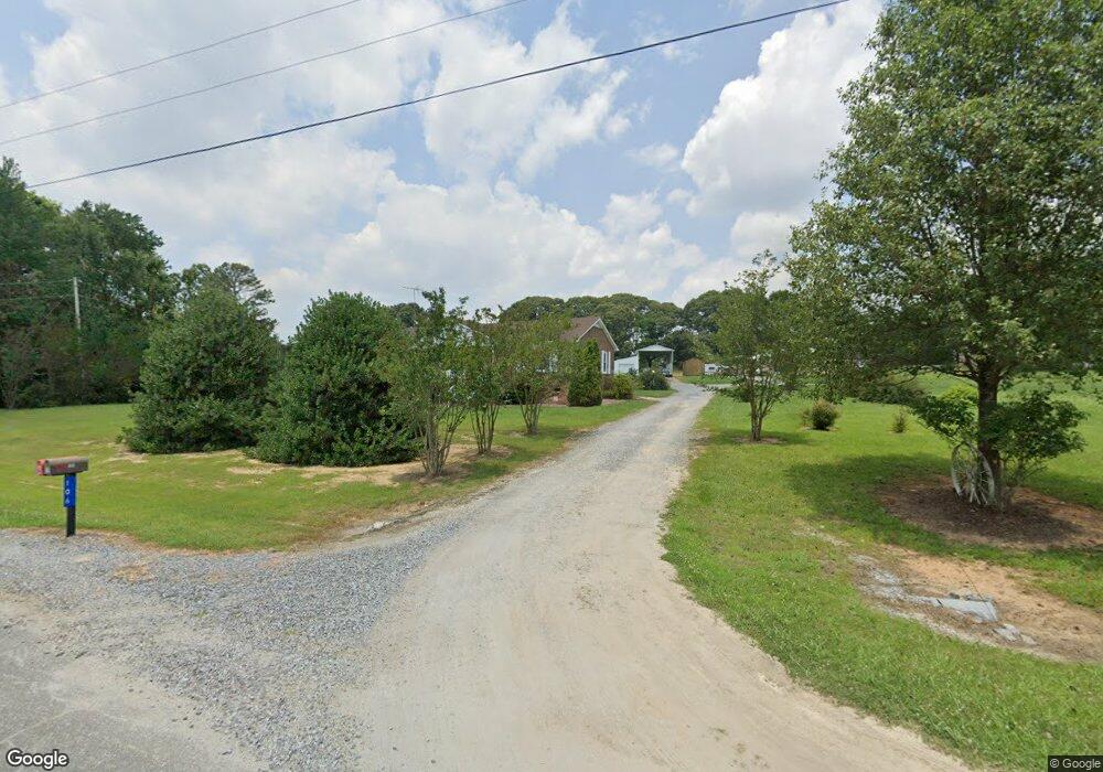
106 Misty Ln Unit 2 Kings Mountain, NC 28086
Estimated Value: $188,000 - $322,000
--
Bed
--
Bath
1,225
Sq Ft
$217/Sq Ft
Est. Value
About This Home
This home is located at 106 Misty Ln Unit 2, Kings Mountain, NC 28086 and is currently estimated at $265,687, approximately $216 per square foot. 106 Misty Ln Unit 2 is a home located in Cleveland County with nearby schools including Washington Elementary School, Burns Middle, and Burns High School.
Ownership History
Date
Name
Owned For
Owner Type
Purchase Details
Closed on
Feb 2, 2021
Sold by
Pryor Samuel C
Bought by
Pryor Samuel C and Pryor Deborah
Current Estimated Value
Home Financials for this Owner
Home Financials are based on the most recent Mortgage that was taken out on this home.
Original Mortgage
$116,000
Outstanding Balance
$85,217
Interest Rate
2.6%
Mortgage Type
New Conventional
Estimated Equity
$180,470
Purchase Details
Closed on
Jan 17, 2008
Sold by
Grindstaff Clenda Sue and Pryor Clenda Sue
Bought by
Pryor Samuel C
Create a Home Valuation Report for This Property
The Home Valuation Report is an in-depth analysis detailing your home's value as well as a comparison with similar homes in the area
Home Values in the Area
Average Home Value in this Area
Purchase History
| Date | Buyer | Sale Price | Title Company |
|---|---|---|---|
| Pryor Samuel C | -- | Servicelink East Escrow | |
| Pryor Samuel C | -- | None Listed On Document | |
| Pryor Samuel C | -- | None Available |
Source: Public Records
Mortgage History
| Date | Status | Borrower | Loan Amount |
|---|---|---|---|
| Open | Pryor Samuel C | $116,000 | |
| Closed | Pryor Samuel C | $116,000 |
Source: Public Records
Tax History Compared to Growth
Tax History
| Year | Tax Paid | Tax Assessment Tax Assessment Total Assessment is a certain percentage of the fair market value that is determined by local assessors to be the total taxable value of land and additions on the property. | Land | Improvement |
|---|---|---|---|---|
| 2025 | $1,167 | $183,727 | $26,459 | $157,268 |
| 2024 | $1,285 | $151,522 | $26,516 | $125,006 |
| 2023 | $1,283 | $151,522 | $26,516 | $125,006 |
| 2022 | $1,279 | $151,522 | $26,516 | $125,006 |
| 2021 | $1,283 | $151,522 | $26,516 | $125,006 |
| 2020 | $977 | $109,193 | $23,233 | $85,960 |
| 2019 | $977 | $109,193 | $23,233 | $85,960 |
| 2018 | $973 | $109,193 | $23,233 | $85,960 |
| 2017 | $968 | $109,193 | $23,233 | $85,960 |
| 2016 | $925 | $109,193 | $23,233 | $85,960 |
| 2015 | $1,002 | $118,989 | $23,233 | $95,756 |
| 2014 | $1,002 | $118,989 | $23,233 | $95,756 |
Source: Public Records
Map
Nearby Homes
- 155 Castle Ct
- 103 Amy Dr
- 213 Press Sweezy Rd
- 00 Gary Beam Rd
- 3367 Marshall Wolfe Rd
- 109 Belmar Rd
- 00 Marys Grove Church Rd
- 125 Bridges Cir
- 5212 Timber Creek Ct
- 5324 Weblee Ct
- 2198 County Line Rd
- 5112 Southbrook Dr
- 5107 Southbrook Dr
- 130 Sunnyside Shady Rest Rd
- 608 Rollingbrook Rd
- 124 Rollingbrook Rd
- 100 Tripp Dr
- 3202 Marshall Wolfe Rd
- 106 Fabian Dr Unit 17
- 105 Ager Dr
- 513 Saint Luke Church Rd
- 501 Saint Luke Church Rd
- 108 Misty Ln
- 510 Saint Luke Church Rd
- 514 Saint Luke Church Rd
- 518 Saint Luke Church Rd
- 109 Misty Ln Unit 1
- 109 Ezra Rd
- 103 Misty Ln
- 429 Saint Luke Church Rd
- 105 Stoney Ridge Dr
- 432 Saint Luke Church Rd
- 108 Ezra Rd
- 526 Saint Luke Church Rd
- 527 Saint Luke Church Rd
- 122 Stoney Ridge Dr
- 115 Stoney Ridge Dr
- 430 Saint Luke Church Rd
- 107 Glenn Ct
- 108 Ola Dr