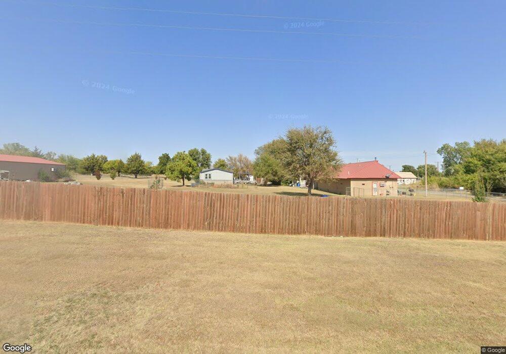
106 N Brookdale Rd Apache, OK 73006
Estimated Value: $79,000 - $161,000
1
Bed
1
Bath
720
Sq Ft
$152/Sq Ft
Est. Value
About This Home
This home is located at 106 N Brookdale Rd, Apache, OK 73006 and is currently estimated at $109,547, approximately $152 per square foot. 106 N Brookdale Rd is a home located in Comanche County with nearby schools including Apache Elementary School, Apache Middle School, and Apache High School.
Ownership History
Date
Name
Owned For
Owner Type
Purchase Details
Closed on
Nov 1, 2023
Sold by
Claborn Cindy and Claborn Tiffany
Bought by
Deguzman Allan
Current Estimated Value
Purchase Details
Closed on
Mar 22, 2023
Sold by
Busby Randall K and Busby Juanita Kay
Bought by
Claborn Cindy and Claborn Tiffany
Purchase Details
Closed on
Apr 26, 2012
Sold by
Lemons Vaunseal Robison
Bought by
Busby Randall K
Purchase Details
Closed on
Apr 9, 2007
Sold by
Lemons Vaunseal Robison
Bought by
Kellye Christopher Thomas and Kelley Lawton Properties Inc
Purchase Details
Closed on
Mar 5, 1999
Sold by
Robison Marvin L and Robison Vaunseal
Create a Home Valuation Report for This Property
The Home Valuation Report is an in-depth analysis detailing your home's value as well as a comparison with similar homes in the area
Purchase History
| Date | Buyer | Sale Price | Title Company |
|---|---|---|---|
| Deguzman Allan | $182,000 | Sovereign Title | |
| Claborn Cindy | $85,000 | First American Title | |
| Busby Randall K | -- | None Available | |
| Kellye Christopher Thomas | $90,000 | -- | |
| -- | -- | -- |
Source: Public Records
Tax History
| Year | Tax Paid | Tax Assessment Tax Assessment Total Assessment is a certain percentage of the fair market value that is determined by local assessors to be the total taxable value of land and additions on the property. | Land | Improvement |
|---|---|---|---|---|
| 2025 | $734 | $7,361 | $844 | $6,517 |
| 2024 | $718 | $7,361 | $844 | $6,517 |
| 2023 | $718 | $6,677 | $844 | $5,833 |
| 2022 | $644 | $6,677 | $844 | $5,833 |
| 2021 | $841 | $6,975 | $844 | $6,131 |
| 2020 | $728 | $6,916 | $844 | $6,072 |
| 2019 | $739 | $6,907 | $844 | $6,063 |
| 2018 | $818 | $7,106 | $844 | $6,262 |
| 2017 | $779 | $7,120 | $844 | $6,276 |
| 2016 | $794 | $7,123 | $844 | $6,279 |
| 2015 | $636 | $7,548 | $844 | $6,704 |
| 2014 | $659 | $7,548 | $844 | $6,704 |
Source: Public Records
Map
Nearby Homes
- 115 N Brookdale
- 116 N Lakeside Dr
- 120 NE Kiowa Rd
- 207 N Hillside Rd
- 1100 NE King Rd
- 13872 NW Stoney Point Rd
- 4244 Mesa Dr
- 12568 Pinnacle Ln
- 13473 NE Tony Creek Rd
- 12811 Ridge Rd
- 3438 Mesa Dr
- 3522 Mesa Dr
- 12838 Pinnacle Ln
- 13195 NE Tony Creek Rd
- 4322 Mesa Dr
- 12693 Big Horn Ln
- 12201 Big Horn Ln
- 12581 Big Horn Ln
- 13630 NE Cornwallis Dr
- 7625 Northgate Dr
- 432 Edgewater Blvd
- 104 Circle Dr
- 104 Circle Dr
- 102 S Hillside Rd
- 86 Circle Dr
- 115 S Hillside Rd
- 102 NE Kiowa Rd
- 123 S Hillside Rd
- 101 Kiowa Rd
- 125 N Brookdale Rd
- 115 N Lakeside Dr
- 105 NE Kiowa Rd
- 114 S Hillside Rd
- 112 N Hillside Rd
- 137 S Hillside Rd
- 103 Lakeview Ave
- 104 S Lakeside Dr
- 122 Lakeview Ave
- 111 Kiowa Rd
- 123 S Lakeview Rd
