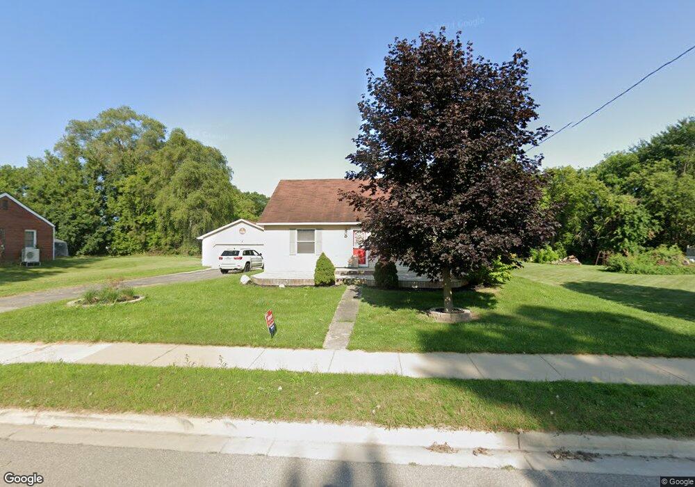
106 N Bullock St Whittemore, MI 48770
Estimated Value: $69,000 - $107,000
2
Beds
1
Bath
884
Sq Ft
$101/Sq Ft
Est. Value
About This Home
This home is located at 106 N Bullock St, Whittemore, MI 48770 and is currently estimated at $89,497, approximately $101 per square foot. 106 N Bullock St is a home located in Iosco County with nearby schools including Whittemore-Prescott Elementary School and Whittemore-Prescott Junior/Senior High School.
Ownership History
Date
Name
Owned For
Owner Type
Purchase Details
Closed on
Dec 4, 2009
Sold by
Gmac Mortgage Llc
Bought by
Stout Jamie and Stout Jamie L
Current Estimated Value
Home Financials for this Owner
Home Financials are based on the most recent Mortgage that was taken out on this home.
Original Mortgage
$25,358
Outstanding Balance
$16,717
Interest Rate
5.11%
Estimated Equity
$72,780
Purchase Details
Closed on
Feb 4, 2009
Sold by
Iosco County Sheriff Department
Bought by
Gmac Mortgage Llc and Gmac Mortgage Corporation
Purchase Details
Closed on
Jun 1, 2007
Sold by
Pipesh Amy Nicole
Bought by
Hasty Donald Dean
Create a Home Valuation Report for This Property
The Home Valuation Report is an in-depth analysis detailing your home's value as well as a comparison with similar homes in the area
Home Values in the Area
Average Home Value in this Area
Purchase History
| Date | Buyer | Sale Price | Title Company |
|---|---|---|---|
| Stout Jamie | $20,500 | -- | |
| Gmac Mortgage Llc | $37,800 | -- | |
| Hasty Donald Dean | -- | -- |
Source: Public Records
Mortgage History
| Date | Status | Borrower | Loan Amount |
|---|---|---|---|
| Open | Stout Jamie | $25,358 |
Source: Public Records
Tax History Compared to Growth
Tax History
| Year | Tax Paid | Tax Assessment Tax Assessment Total Assessment is a certain percentage of the fair market value that is determined by local assessors to be the total taxable value of land and additions on the property. | Land | Improvement |
|---|---|---|---|---|
| 2025 | $792 | $31,100 | $31,100 | $0 |
| 2024 | $884 | $30,200 | $0 | $0 |
| 2023 | $239 | $29,200 | $29,200 | $0 |
| 2022 | $826 | $24,600 | $24,600 | $0 |
| 2021 | $766 | $22,600 | $22,600 | $0 |
| 2020 | $750 | $22,400 | $22,400 | $0 |
| 2019 | $707 | $21,600 | $21,600 | $0 |
| 2018 | $693 | $20,800 | $20,800 | $0 |
| 2017 | $665 | $21,600 | $21,600 | $0 |
| 2016 | $681 | $21,600 | $0 | $0 |
| 2015 | -- | $21,200 | $0 | $0 |
| 2014 | -- | $21,500 | $0 | $0 |
| 2013 | -- | $24,100 | $0 | $0 |
Source: Public Records
Map
Nearby Homes
- 100 & 102 S Bullock St
- 1870 Michigan 65
- 316 S Bullock St
- 7207 Prescott Rd
- 6849 Leggett Rd
- 1831 Kitchen Rd
- 8720 Whittemore Rd
- 8109 M 55
- 3433 Nile Rd
- 5745 Carpenter Rd
- 600 N Britt Rd
- 10 S Imperial Dr
- 4901 Michigan 55
- 5363 Keystone Rd
- 4861 Carpenter Rd
- 388 W Lagrant Rd
- N/A Crosby Rd
- 10 W Maple Ridge Rd
- 111 South St
- 5825 E Dyer Rd
- 110 N Bullock St
- 100 N Bullock St
- 114 N Bullock St
- 111 N Bullock St
- 105 N Bullock St
- 114 Pickett St
- 101 N Bullock St
- 116 N Bullock St
- V/L 65-Miller Michigan 65
- X M-65
- 115 N Bullock St
- 120 Pickett St
- 101 S Bullock St
- 100 S Bullock St
- 100 S Bullock St
- 104 E Sherman St
- 0 Michigan 65
- 200 First Street 1-10
- 200 W 1st St
- 102 S Bullock St