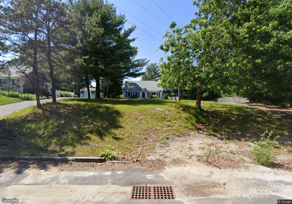
106 Oldham Rd Osterville, MA 02655
Osterville NeighborhoodEstimated Value: $605,056 - $717,000
2
Beds
2
Baths
938
Sq Ft
$708/Sq Ft
Est. Value
About This Home
This home is located at 106 Oldham Rd, Osterville, MA 02655 and is currently estimated at $664,514, approximately $708 per square foot. 106 Oldham Rd is a home located in Barnstable County with nearby schools including West Villages Elementary School, Barnstable United Elementary School, and Barnstable Intermediate School.
Ownership History
Date
Name
Owned For
Owner Type
Purchase Details
Closed on
Oct 31, 2006
Sold by
Mccauley Bernadette H and Mccauley Daniel P
Bought by
Mccauley Joseph E
Current Estimated Value
Purchase Details
Closed on
Dec 14, 1994
Sold by
Channel Point Rlty Inc
Bought by
Mccauley Daniel P
Home Financials for this Owner
Home Financials are based on the most recent Mortgage that was taken out on this home.
Original Mortgage
$55,000
Interest Rate
9.03%
Mortgage Type
Purchase Money Mortgage
Create a Home Valuation Report for This Property
The Home Valuation Report is an in-depth analysis detailing your home's value as well as a comparison with similar homes in the area
Home Values in the Area
Average Home Value in this Area
Purchase History
| Date | Buyer | Sale Price | Title Company |
|---|---|---|---|
| Mccauley Joseph E | $285,000 | -- | |
| Mccauley Daniel P | $85,000 | -- |
Source: Public Records
Mortgage History
| Date | Status | Borrower | Loan Amount |
|---|---|---|---|
| Previous Owner | Mccauley Daniel P | $65,000 | |
| Previous Owner | Mccauley Daniel P | $55,000 |
Source: Public Records
Tax History Compared to Growth
Tax History
| Year | Tax Paid | Tax Assessment Tax Assessment Total Assessment is a certain percentage of the fair market value that is determined by local assessors to be the total taxable value of land and additions on the property. | Land | Improvement |
|---|---|---|---|---|
| 2025 | $3,390 | $419,000 | $152,200 | $266,800 |
| 2024 | $3,158 | $404,300 | $152,200 | $252,100 |
| 2023 | $3,016 | $361,600 | $138,400 | $223,200 |
| 2022 | $2,790 | $289,400 | $102,500 | $186,900 |
| 2021 | $2,762 | $263,300 | $102,500 | $160,800 |
| 2020 | $2,873 | $262,100 | $102,500 | $159,600 |
| 2019 | $2,753 | $244,100 | $102,500 | $141,600 |
| 2018 | $2,578 | $229,800 | $107,900 | $121,900 |
| 2017 | $2,416 | $224,500 | $107,900 | $116,600 |
| 2016 | $2,456 | $225,300 | $108,700 | $116,600 |
| 2015 | $2,336 | $215,300 | $105,400 | $109,900 |
Source: Public Records
Map
Nearby Homes
- 268 Bumps River Rd
- 81 Falling Leaf Ln
- 369 Bumps River Rd
- 139 Falling Leaf Ln
- 44 Avalon Cir
- 40 Waterfield Rd
- 3040 Falmouth Rd Unit H
- 3040 Falmouth Rd Unit H
- 98 Bunker Hill Rd
- 30 Deerfield Rd
- 123 Tower Hill Rd
- 7 Ebenezer
- 920 Main St Unit 1 Building 2
- 920 Main St Unit 2-1
- 77 Robbins St
- 39 Tower Hill Rd Unit 1C
- 89 Swift Ave
- 359 Baxter Neck Rd
- 33 Sunset Ln
- 16 Bridgets Path