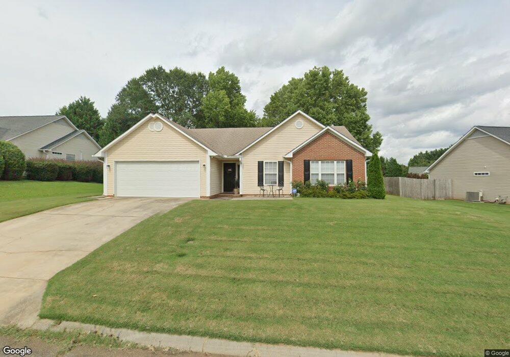
106 Pheasant Ridge Dr Taylors, SC 29687
Estimated Value: $278,269 - $314,000
3
Beds
2
Baths
1,480
Sq Ft
$201/Sq Ft
Est. Value
About This Home
This home is located at 106 Pheasant Ridge Dr, Taylors, SC 29687 and is currently estimated at $297,817, approximately $201 per square foot. 106 Pheasant Ridge Dr is a home located in Greenville County with nearby schools including Taylors Elementary School, Sevier Middle, and Wade Hampton High.
Ownership History
Date
Name
Owned For
Owner Type
Purchase Details
Closed on
Sep 15, 2022
Sold by
Miglionico Nicole E
Bought by
Miglionico Nicole E and Miglionico Jessica B
Current Estimated Value
Purchase Details
Closed on
Jul 29, 2014
Sold by
Grice Brade and Hall Mandy
Bought by
Miglionico Nicole E
Purchase Details
Closed on
Nov 30, 2000
Sold by
Bb Kevin Allen
Bought by
Ice Brad
Create a Home Valuation Report for This Property
The Home Valuation Report is an in-depth analysis detailing your home's value as well as a comparison with similar homes in the area
Home Values in the Area
Average Home Value in this Area
Purchase History
| Date | Buyer | Sale Price | Title Company |
|---|---|---|---|
| Miglionico Nicole E | -- | -- | |
| Miglionico Nicole E | $149,000 | -- | |
| Ice Brad | $116,300 | -- |
Source: Public Records
Tax History Compared to Growth
Tax History
| Year | Tax Paid | Tax Assessment Tax Assessment Total Assessment is a certain percentage of the fair market value that is determined by local assessors to be the total taxable value of land and additions on the property. | Land | Improvement |
|---|---|---|---|---|
| 2024 | $1,304 | $6,260 | $890 | $5,370 |
| 2023 | $1,304 | $6,260 | $890 | $5,370 |
| 2022 | $1,209 | $6,260 | $890 | $5,370 |
| 2021 | $1,393 | $6,260 | $890 | $5,370 |
| 2020 | $1,297 | $5,440 | $940 | $4,500 |
| 2019 | $1,283 | $5,440 | $940 | $4,500 |
| 2018 | $1,264 | $5,440 | $940 | $4,500 |
| 2017 | $1,249 | $5,440 | $940 | $4,500 |
| 2016 | $1,197 | $135,940 | $23,500 | $112,440 |
| 2015 | $1,101 | $135,940 | $23,500 | $112,440 |
| 2014 | $1,085 | $137,351 | $23,377 | $113,974 |
Source: Public Records
Map
Nearby Homes
- 205 Pheasant Ridge Dr
- 528 Indian Trail
- 4 Sylvania Dr
- 43 Birdsong Ln
- 1 Hartsville Dr Unit 14
- 107 Wood Heights Ave
- 0 Tanner Rd
- 105 Edwards Mill Rd
- 24 Robin Hood Rd
- 4 Edwards Mill Ct
- 17 Nonnington Way Unit Homesite 127
- 21 Nonnington Way Unit Homesite 125
- 25 Nonnington Way Unit Homesite 124
- 27 Nonnington Way Unit Homesite 123
- 29 Nonnington Way Unit Homesite 122
- 35 Nonnington Way Unit Homesite 120
- 37 Nonnington Way Unit Homesite 119
- 39 Nonnington Way Unit Homesite 118
- 22 Nonnington Way Unit Homesite 9
- 41 Nonnington Way Unit Homesite 117
- 104 Pheasant Ridge Dr
- 108 Pheasant Ridge Dr
- 5 Stonington Way
- 4 Boysenberry Dr
- 102 Pheasant Ridge Dr
- 3 Stonington Way
- 109 Pheasant Ridge Dr
- 111 Pheasant Ridge Dr
- 107 Pheasant Ridge Dr
- 113 Pheasant Ridge Dr
- 1 Stonington Way
- 7 Stonington Way
- 1 Boysenberry Dr
- 6 Boysenberry Dr
- 105 Pheasant Ridge Dr
- 103 Pheasant Ridge Dr
- 38 Spring Fellow Ln
- 201 Pheasant Ridge Dr
- 30 Spring Fellow Ln
- 3 Boysenberry Dr