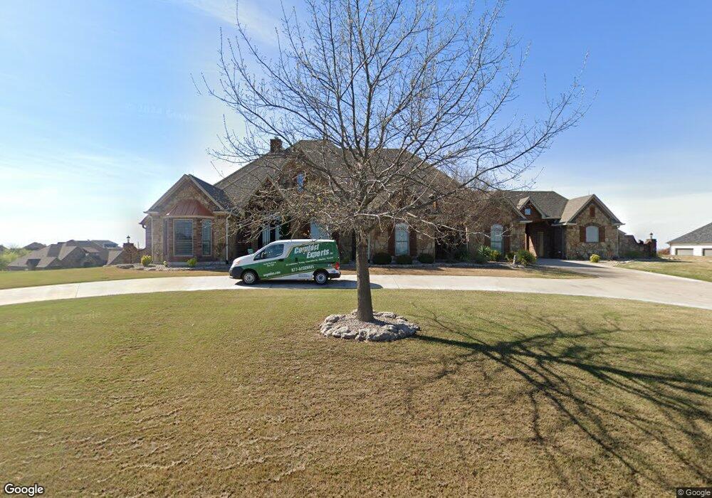
106 Pinnacle Peak Ln Weatherford, TX 76087
Estimated Value: $791,111 - $1,009,000
--
Bed
--
Bath
3,576
Sq Ft
$253/Sq Ft
Est. Value
About This Home
This home is located at 106 Pinnacle Peak Ln, Weatherford, TX 76087 and is currently estimated at $904,778, approximately $253 per square foot. 106 Pinnacle Peak Ln is a home with nearby schools including Brock Intermediate School, Brock Junior High School, and Brock High School.
Ownership History
Date
Name
Owned For
Owner Type
Purchase Details
Closed on
Mar 19, 2013
Sold by
Texas Brand Bank
Bought by
The Henry L Driver & Kathleen E Driver R
Current Estimated Value
Purchase Details
Closed on
Apr 8, 2010
Sold by
Texas Brand Bank
Bought by
The Henry L & Kathleen E Driver Revocabl
Purchase Details
Closed on
Nov 3, 2009
Sold by
Goff Development Corp
Bought by
Driver Henry & Kathleen Revocable Trust
Purchase Details
Closed on
Jan 20, 2003
Sold by
Canyon West Development Co Ltd
Bought by
Driver Henry & Kathleen Revocable Trust
Purchase Details
Closed on
Aug 7, 2001
Sold by
Mickle Wesley J
Bought by
Driver Henry & Kathleen Revocable Trust
Create a Home Valuation Report for This Property
The Home Valuation Report is an in-depth analysis detailing your home's value as well as a comparison with similar homes in the area
Home Values in the Area
Average Home Value in this Area
Purchase History
| Date | Buyer | Sale Price | Title Company |
|---|---|---|---|
| The Henry L Driver & Kathleen E Driver R | -- | None Available | |
| The Henry L & Kathleen E Driver Revocabl | -- | Ctc | |
| Driver Henry & Kathleen Revocable Trust | -- | -- | |
| Driver Henry & Kathleen Revocable Trust | -- | -- | |
| Driver Henry & Kathleen Revocable Trust | -- | -- |
Source: Public Records
Tax History Compared to Growth
Tax History
| Year | Tax Paid | Tax Assessment Tax Assessment Total Assessment is a certain percentage of the fair market value that is determined by local assessors to be the total taxable value of land and additions on the property. | Land | Improvement |
|---|---|---|---|---|
| 2025 | $3,818 | $751,531 | -- | -- |
| 2024 | $3,818 | $683,210 | -- | -- |
| 2023 | $3,818 | $621,100 | $0 | $0 |
| 2022 | $11,463 | $564,640 | $65,000 | $499,640 |
| 2021 | $11,366 | $564,640 | $65,000 | $499,640 |
| 2020 | $10,476 | $483,990 | $50,000 | $433,990 |
| 2019 | $11,280 | $483,990 | $50,000 | $433,990 |
| 2018 | $10,781 | $460,520 | $30,000 | $430,520 |
| 2017 | $10,595 | $460,520 | $30,000 | $430,520 |
| 2016 | $10,125 | $440,090 | $30,000 | $410,090 |
| 2015 | $6,184 | $440,090 | $30,000 | $410,090 |
| 2014 | $6,089 | $381,050 | $30,000 | $351,050 |
Source: Public Records
Map
Nearby Homes
- 123 Club House Dr
- 162 Pinnacle Peak Ln
- 113 Laser Ln
- 234 Trail Ridge
- 197 Pinnacle Peak Ln
- 0 Quanah Hill Rd Unit 23872058
- 120 Trail Ridge
- 205 Pinnacle Peak Ln
- 101 Trail Ridge
- 150 Top Flight Dr
- 125 Summer Stone Ct
- 1060 Kessler Rd
- 2053 Verona Dr
- 2042 Verona Dr
- 313 Canyon Creek Cir
- 873 Canyon Creek Ln
- 2030 Verona Dr
- 304 Red Roan Ridge
- 2026 Verona Dr
- 3036 Palermo Dr
- 100 Pinnacle Peak Ln
- 32 Pinnacle Peak Ln
- 52 Pinnacle Peak Ln
- 51 Pinnacle Peak Ln
- 105 Pinnacle Peak Ln
- L8182 Condor View
- Lot 81 Condor View
- 101 Pinnacle Peak Ln
- 109 Pinnacle Peak Ln
- 101 Condor View
- 305 Canyon West Dr
- L53 Pinnacle Peak Ln
- L50 Pinnacle Peak Ln
- 113 Pinnacle Peak Ln
- 114 Condor View
- 106 Club House Dr
- 102 Club House Dr
- 106 Condor View
- 117 Pinnacle Peak Ln
- 315 Canyon West Dr