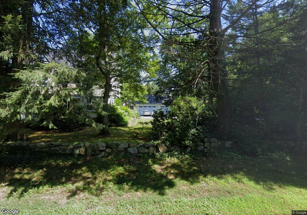
106 Plain Rd Wayland, MA 01778
Estimated Value: $2,630,000 - $3,213,733
5
Beds
7
Baths
5,659
Sq Ft
$525/Sq Ft
Est. Value
About This Home
This home is located at 106 Plain Rd, Wayland, MA 01778 and is currently estimated at $2,969,933, approximately $524 per square foot. 106 Plain Rd is a home with nearby schools including Wayland High School.
Ownership History
Date
Name
Owned For
Owner Type
Purchase Details
Closed on
Nov 27, 2023
Sold by
Staiti Michael J
Bought by
104-106 Plain Rd T and 104-106 Staiti
Current Estimated Value
Purchase Details
Closed on
Aug 19, 2022
Sold by
Plain Rd Open Space B Rt and Shelton
Bought by
Staiti Michael J
Purchase Details
Closed on
May 5, 2015
Sold by
Coleman William C and Coleman Janet W
Bought by
Plain Road Ft
Home Financials for this Owner
Home Financials are based on the most recent Mortgage that was taken out on this home.
Original Mortgage
$400,000
Interest Rate
3.76%
Mortgage Type
New Conventional
Create a Home Valuation Report for This Property
The Home Valuation Report is an in-depth analysis detailing your home's value as well as a comparison with similar homes in the area
Home Values in the Area
Average Home Value in this Area
Purchase History
| Date | Buyer | Sale Price | Title Company |
|---|---|---|---|
| 104-106 Plain Rd T | -- | None Available | |
| Staiti Michael J | -- | None Available | |
| Plain Road Ft | $600,000 | -- |
Source: Public Records
Mortgage History
| Date | Status | Borrower | Loan Amount |
|---|---|---|---|
| Previous Owner | Plain Road Ft | $400,000 |
Source: Public Records
Tax History Compared to Growth
Tax History
| Year | Tax Paid | Tax Assessment Tax Assessment Total Assessment is a certain percentage of the fair market value that is determined by local assessors to be the total taxable value of land and additions on the property. | Land | Improvement |
|---|---|---|---|---|
| 2025 | $40,655 | $2,601,100 | $656,500 | $1,944,600 |
| 2024 | $38,521 | $2,482,000 | $625,200 | $1,856,800 |
| 2023 | $35,776 | $2,148,700 | $568,200 | $1,580,500 |
| 2022 | $36,638 | $1,996,600 | $470,500 | $1,526,100 |
| 2021 | $36,186 | $1,953,900 | $427,800 | $1,526,100 |
| 2020 | $34,982 | $1,969,700 | $427,800 | $1,541,900 |
| 2019 | $34,842 | $1,906,000 | $407,500 | $1,498,500 |
| 2018 | $34,118 | $1,892,300 | $407,500 | $1,484,800 |
| 2017 | $33,512 | $1,847,400 | $394,900 | $1,452,500 |
Source: Public Records
Map
Nearby Homes
- 14 Lundy Ln
- 31 White Rd
- 10 Hayward Rd
- 156 Boston Post Rd
- 50 3 Ponds Rd
- 11 Wadsworth Ln Unit 11
- 24 Claypit Hill Rd
- 19 Old Connecticut Path
- 72 Love Ln
- 82 Buckskin Dr
- 17 Hastings Way Unit 17
- 23 Covered Bridge Ln
- 2 Forest Hill Rd
- 42 Westerly Rd
- 1 Pine Summit Cir
- 17 Glezen Ln
- 19 Warren Ln
- 23 Pine Summit Cir Unit 23
- 15 Lewis Path
- 52 Jericho Rd Unit 52