106 Ranger Rd Pemaquid, ME 04558
Estimated Value: $497,000 - $2,240,000
3
Beds
2
Baths
2,299
Sq Ft
$456/Sq Ft
Est. Value
About This Home
This home is located at 106 Ranger Rd, Pemaquid, ME 04558 and is currently estimated at $1,047,275, approximately $455 per square foot. 106 Ranger Rd is a home with nearby schools including Bristol Consolidated School.
Ownership History
Date
Name
Owned For
Owner Type
Purchase Details
Closed on
Jun 28, 2005
Sold by
Kolodin David A and Kolodin Elizabeth A
Bought by
Kolodin David G
Current Estimated Value
Create a Home Valuation Report for This Property
The Home Valuation Report is an in-depth analysis detailing your home's value as well as a comparison with similar homes in the area
Home Values in the Area
Average Home Value in this Area
Purchase History
| Date | Buyer | Sale Price | Title Company |
|---|---|---|---|
| Kolodin David G | -- | -- |
Source: Public Records
Tax History Compared to Growth
Tax History
| Year | Tax Paid | Tax Assessment Tax Assessment Total Assessment is a certain percentage of the fair market value that is determined by local assessors to be the total taxable value of land and additions on the property. | Land | Improvement |
|---|---|---|---|---|
| 2024 | $4,220 | $474,200 | $288,600 | $185,600 |
| 2023 | $3,770 | $474,200 | $288,600 | $185,600 |
| 2022 | $3,414 | $474,200 | $288,600 | $185,600 |
| 2021 | $3,414 | $474,200 | $288,600 | $185,600 |
| 2020 | $3,438 | $474,200 | $288,600 | $185,600 |
| 2019 | $3,201 | $474,200 | $288,600 | $185,600 |
| 2018 | $2,964 | $474,200 | $288,600 | $185,600 |
| 2017 | $2,964 | $474,200 | $288,600 | $185,600 |
| 2016 | $2,560 | $324,000 | $185,700 | $138,300 |
| 2015 | $2,738 | $324,000 | $185,700 | $138,300 |
| 2014 | $2,560 | $324,000 | $185,700 | $138,300 |
| 2013 | $2,495 | $324,000 | $185,700 | $138,300 |
Source: Public Records
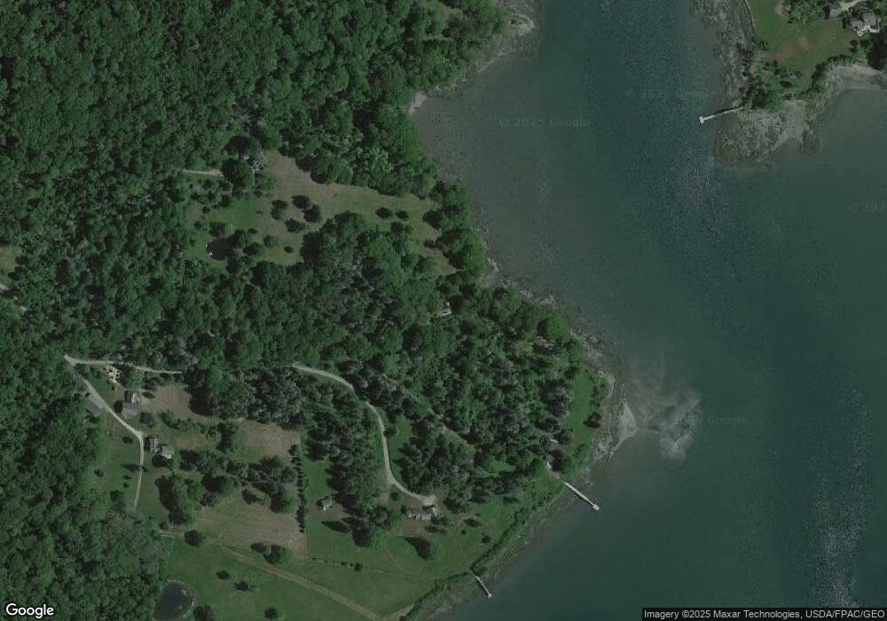
Map
Nearby Homes
- 67 Huddle Rd
- 145 Huddle Rd
- M2A-L45B3 Huddle Rd
- 0 Lockhart Cove Rd
- 1 Fish Point Rd
- 2593 Bristol Rd
- 5 Penniman Rd
- M4 L89-E Fiske Ln
- 01 Fiske Ln
- 82 Pemaquid Trail
- 82 Southside Rd
- 147 Maine 32
- Lot 5 Jack's Ln
- Lot 4 Jack's Ln
- 36 Eastwood Ct
- 40 Eastwood Ct
- 146 State Route 32
- M2-L55F Bristol Rd
- 00 Fir Hollow Rd
- 2700 Bristol Rd
- 29 Ranger Rd
- 59 Shore Rd
- 60 Ranger Rd
- 69 Ranger Rd
- 20 Sea Meadow Ln
- 54 Bradley Shore Rd
- 9 Co op Rd
- 42 Shore Rd
- 234 Pemaquid Harbor Rd
- 0 Shore Rd Unit 623931
- 0 Shore Rd Unit 278630
- 0 Shore Rd Unit 271357
- 0 Shore Rd Unit 1309290
- 0 Shore Rd Unit 1481302
- 5 Co op Rd
- 305 Pemaquid Harbor Rd
- 293 Pemaquid Harbor Rd
- 0 Cove Rd Unit 942046
- 0 Cove Rd Unit 948746