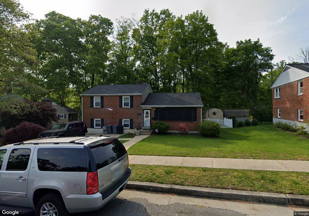
106 Rollingbrook Way Catonsville, MD 21228
Estimated Value: $474,945 - $515,000
--
Bed
1
Bath
1,725
Sq Ft
$286/Sq Ft
Est. Value
About This Home
This home is located at 106 Rollingbrook Way, Catonsville, MD 21228 and is currently estimated at $493,236, approximately $285 per square foot. 106 Rollingbrook Way is a home located in Baltimore County with nearby schools including Westchester Elementary School, Catonsville Middle School, and Catonsville High School.
Ownership History
Date
Name
Owned For
Owner Type
Purchase Details
Closed on
Mar 28, 2005
Sold by
Hutton Elizabeth Mae
Bought by
Tacka Christine G
Current Estimated Value
Home Financials for this Owner
Home Financials are based on the most recent Mortgage that was taken out on this home.
Original Mortgage
$160,000
Interest Rate
5.7%
Mortgage Type
New Conventional
Purchase Details
Closed on
Mar 25, 2005
Sold by
Hutton Elizabeth Mae
Bought by
Tacka Christine G
Home Financials for this Owner
Home Financials are based on the most recent Mortgage that was taken out on this home.
Original Mortgage
$160,000
Interest Rate
5.7%
Mortgage Type
New Conventional
Purchase Details
Closed on
Jul 16, 1975
Sold by
Mccanna Lawrence E
Bought by
Smith Barrett Gregory
Create a Home Valuation Report for This Property
The Home Valuation Report is an in-depth analysis detailing your home's value as well as a comparison with similar homes in the area
Home Values in the Area
Average Home Value in this Area
Purchase History
| Date | Buyer | Sale Price | Title Company |
|---|---|---|---|
| Tacka Christine G | $253,000 | -- | |
| Tacka Christine G | $253,000 | -- | |
| Smith Barrett Gregory | $40,000 | -- |
Source: Public Records
Mortgage History
| Date | Status | Borrower | Loan Amount |
|---|---|---|---|
| Closed | Tacka Christine G | $160,000 | |
| Closed | Tacka Christine G | $160,000 |
Source: Public Records
Tax History Compared to Growth
Tax History
| Year | Tax Paid | Tax Assessment Tax Assessment Total Assessment is a certain percentage of the fair market value that is determined by local assessors to be the total taxable value of land and additions on the property. | Land | Improvement |
|---|---|---|---|---|
| 2025 | $5,050 | $383,067 | -- | -- |
| 2024 | $5,050 | $362,700 | $127,900 | $234,800 |
| 2023 | $2,421 | $350,233 | $0 | $0 |
| 2022 | $4,603 | $337,767 | $0 | $0 |
| 2021 | $4,367 | $325,300 | $127,900 | $197,400 |
| 2020 | $4,367 | $313,333 | $0 | $0 |
| 2019 | $4,253 | $301,367 | $0 | $0 |
| 2018 | $4,049 | $289,400 | $91,900 | $197,500 |
| 2017 | $3,788 | $280,867 | $0 | $0 |
| 2016 | $3,225 | $272,333 | $0 | $0 |
| 2015 | $3,225 | $263,800 | $0 | $0 |
| 2014 | $3,225 | $263,800 | $0 | $0 |
Source: Public Records
Map
Nearby Homes
- 231 Gralan Rd
- 11 Clay Lodge Ln Unit 204
- 19 Clay Lodge Ln Unit 104
- 1900 Lismore Ln
- 105 Oella Ave
- 2110 Edmondson Ave
- 8 Seminole Ave
- 302 Wessling Cir
- 311 Radstock Rd
- 2310 Rockwell Ave
- 627 Meyers Dr
- 627 Meyers Dr Unit PARCEL 108
- 2305 Rockwell Ave
- 1300 Rice Ave
- 2208 W Geipe Rd
- 230 N Beaumont Ave
- 2 Park Dr
- 343 N Beaumont Ave
- 201 Suter Rd
- 353 N Beaumont Ave
- 104 Rollingbrook Way
- 108 Rollingbrook Way
- 102 Rollingbrook Way
- 110 Rollingbrook Way
- 9 Monmouth Rd
- 112 Rollingbrook Way
- 100 Rollingbrook Way
- 7 Monmouth Rd
- 10 N Morerick Ave
- 13 N Morerick Ave
- 8 Monmouth Rd
- 111 Hillside Rd
- 114 Rollingbrook Way
- 8 N Morerick Ave
- 11 N Morerick Ave
- 5 Monmouth Rd
- 6 Monmouth Rd
- 98 Rollingbrook Way
- 113 Hillside Rd
- 115 Rollingbrook Way