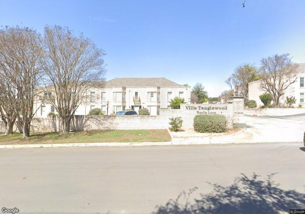
106 Ruelle Ln San Antonio, TX 78209
Terrell Heights NeighborhoodEstimated Value: $193,702 - $223,000
2
Beds
2
Baths
1,392
Sq Ft
$151/Sq Ft
Est. Value
About This Home
This home is located at 106 Ruelle Ln, San Antonio, TX 78209 and is currently estimated at $210,176, approximately $150 per square foot. 106 Ruelle Ln is a home located in Bexar County with nearby schools including Woodridge Elementary School, Alamo Heights Junior School, and Alamo Heights High School.
Ownership History
Date
Name
Owned For
Owner Type
Purchase Details
Closed on
Dec 1, 2010
Sold by
Barshop Julenne D
Bought by
Ruelle Properties Llc
Current Estimated Value
Purchase Details
Closed on
Jul 28, 2005
Sold by
Nelson Sabin Muir
Bought by
Barshop Julenne D
Home Financials for this Owner
Home Financials are based on the most recent Mortgage that was taken out on this home.
Original Mortgage
$50,000
Interest Rate
5.55%
Mortgage Type
Fannie Mae Freddie Mac
Purchase Details
Closed on
Aug 13, 1998
Sold by
Mccaleb John C and Mccaleb Jo Ann C
Bought by
Nelson Sabin Muir
Home Financials for this Owner
Home Financials are based on the most recent Mortgage that was taken out on this home.
Original Mortgage
$35,000
Interest Rate
6.95%
Create a Home Valuation Report for This Property
The Home Valuation Report is an in-depth analysis detailing your home's value as well as a comparison with similar homes in the area
Home Values in the Area
Average Home Value in this Area
Purchase History
| Date | Buyer | Sale Price | Title Company |
|---|---|---|---|
| Ruelle Properties Llc | -- | Marathon Title Company | |
| Barshop Julenne D | -- | Commerce Title Company | |
| Nelson Sabin Muir | -- | Alamo Title |
Source: Public Records
Mortgage History
| Date | Status | Borrower | Loan Amount |
|---|---|---|---|
| Previous Owner | Barshop Julenne D | $50,000 | |
| Previous Owner | Nelson Sabin Muir | $35,000 |
Source: Public Records
Tax History Compared to Growth
Tax History
| Year | Tax Paid | Tax Assessment Tax Assessment Total Assessment is a certain percentage of the fair market value that is determined by local assessors to be the total taxable value of land and additions on the property. | Land | Improvement |
|---|---|---|---|---|
| 2025 | $4,817 | $199,000 | $35,670 | $163,330 |
| 2024 | $4,817 | $214,000 | $35,670 | $178,330 |
| 2023 | $4,817 | $216,000 | $35,670 | $180,330 |
| 2022 | $4,551 | $188,000 | $21,530 | $166,470 |
| 2021 | $4,551 | $182,360 | $21,530 | $160,830 |
| 2020 | $4,547 | $182,000 | $21,530 | $160,470 |
| 2019 | $4,119 | $161,000 | $21,530 | $139,470 |
| 2018 | $3,808 | $152,000 | $21,530 | $130,470 |
| 2017 | $3,482 | $139,000 | $21,530 | $117,470 |
| 2016 | $3,051 | $121,790 | $21,530 | $100,260 |
| 2015 | -- | $121,790 | $21,530 | $100,260 |
| 2014 | -- | $107,500 | $0 | $0 |
Source: Public Records
Map
Nearby Homes
- 102 Ruelle Unit 200-B
- 102 Ruelle Unit 106C
- 102 Ruelle Unit 220B
- 112 Ruelle
- 109 Ruelle Unit 109-A
- 200 Ruelle Ln Unit 200A
- 66 Brees Blvd Unit 125
- 66 Brees Blvd Unit 42
- 261 E Fair Oaks Place
- 307 Greenwich Blvd
- 301 Primrose Place
- 351 Rosemary Ave
- 242 E Elmview Place
- 106 Irvington Dr
- 124 Harmon Dr
- 352 Cloverleaf Ave
- 7014 Scotsdale Dr
- 140 Harmon Dr
- 136 Chevy Chase Dr
- 141 Chevy Chase Dr