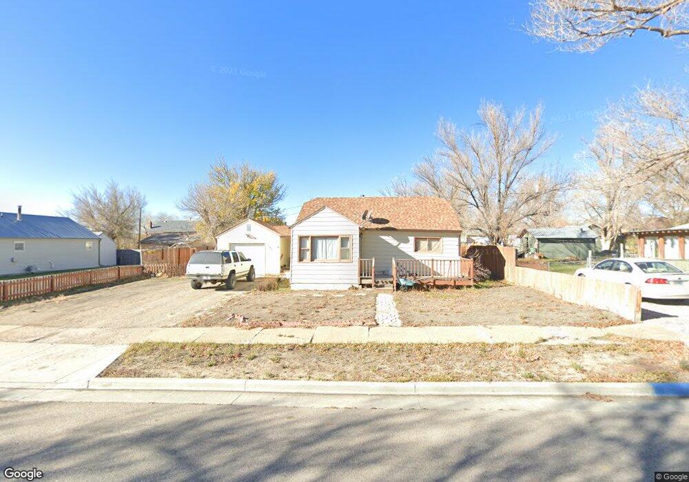
106 S 6th St Sinclair, WY 82334
Estimated Value: $89,000 - $149,000
Studio
--
Bath
790
Sq Ft
$150/Sq Ft
Est. Value
About This Home
This home is located at 106 S 6th St, Sinclair, WY 82334 and is currently estimated at $118,560, approximately $150 per square foot. 106 S 6th St is a home with nearby schools including Rawlins Middle School and Rawlins High School.
Ownership History
Date
Name
Owned For
Owner Type
Purchase Details
Closed on
Jul 10, 2023
Sold by
Carbon County Of Sheriff
Bought by
Stone Jennifer K
Current Estimated Value
Purchase Details
Closed on
Mar 9, 2023
Sold by
Henderson Bonnie Lee
Bought by
Wells Fargo Bank National Association
Purchase Details
Closed on
May 15, 2012
Sold by
Sunday Brigham and Sunday Emilee
Bought by
Henderson Bonnie Lee
Home Financials for this Owner
Home Financials are based on the most recent Mortgage that was taken out on this home.
Original Mortgage
$79,591
Interest Rate
4.02%
Mortgage Type
New Conventional
Purchase Details
Closed on
Jun 30, 2010
Sold by
Olson Lori A and Marris Lori A
Bought by
Sunday Brigham and Sunday Emilee
Home Financials for this Owner
Home Financials are based on the most recent Mortgage that was taken out on this home.
Original Mortgage
$96,697
Interest Rate
4.81%
Mortgage Type
FHA
Create a Home Valuation Report for This Property
The Home Valuation Report is an in-depth analysis detailing your home's value as well as a comparison with similar homes in the area
Purchase History
| Date | Buyer | Sale Price | Title Company |
|---|---|---|---|
| Stone Jennifer K | $65,000 | None Listed On Document | |
| Wells Fargo Bank National Association | -- | -- | |
| Henderson Bonnie Lee | -- | None Available | |
| Sunday Brigham | -- | None Available |
Source: Public Records
Mortgage History
| Date | Status | Borrower | Loan Amount |
|---|---|---|---|
| Previous Owner | Henderson Bonnie Lee | $79,591 | |
| Previous Owner | Sunday Brigham | $96,697 |
Source: Public Records
Tax History
| Year | Tax Paid | Tax Assessment Tax Assessment Total Assessment is a certain percentage of the fair market value that is determined by local assessors to be the total taxable value of land and additions on the property. | Land | Improvement |
|---|---|---|---|---|
| 2025 | $697 | $6,925 | $1,538 | $5,387 |
| 2024 | $7 | $9,654 | $1,971 | $7,683 |
| 2023 | $695 | $9,629 | $1,971 | $7,658 |
| 2022 | $625 | $8,538 | $1,603 | $6,935 |
| 2021 | $625 | $8,310 | $1,603 | $6,707 |
| 2020 | $584 | $24,219 | $4,809 | $19,410 |
| 2019 | $577 | $8,028 | $1,603 | $6,425 |
| 2018 | $540 | $7,382 | $1,603 | $5,779 |
| 2017 | $533 | $7,336 | $1,603 | $5,733 |
| 2016 | $528 | $7,256 | $1,603 | $5,653 |
| 2015 | -- | $6,970 | $1,603 | $5,367 |
| 2014 | -- | $6,883 | $1,603 | $5,280 |
Source: Public Records
Map
Nearby Homes
- 801 Madison Ave
- Tbd
- 460 Airport Rd
- 609 Olive Cir
- 821 Ash St
- 805 Apple Ave
- 475 County Road 324
- 1815 Edinburgh St
- 2514 Kilmary Dr
- Tract 1 Blk 2 Monroe St
- Tract 3 Blk 1 Monroe St
- PT NW 1/4 Sec Monroe St
- 3008 Shetland Dr
- 500 Madison St
- 205 E State St
- 901 Daley St
- 0 Interstate 80
- 120 E Water St
- 510 Rodeo Ct
- 0 Mobile Only Unit 20260953
Your Personal Tour Guide
Ask me questions while you tour the home.