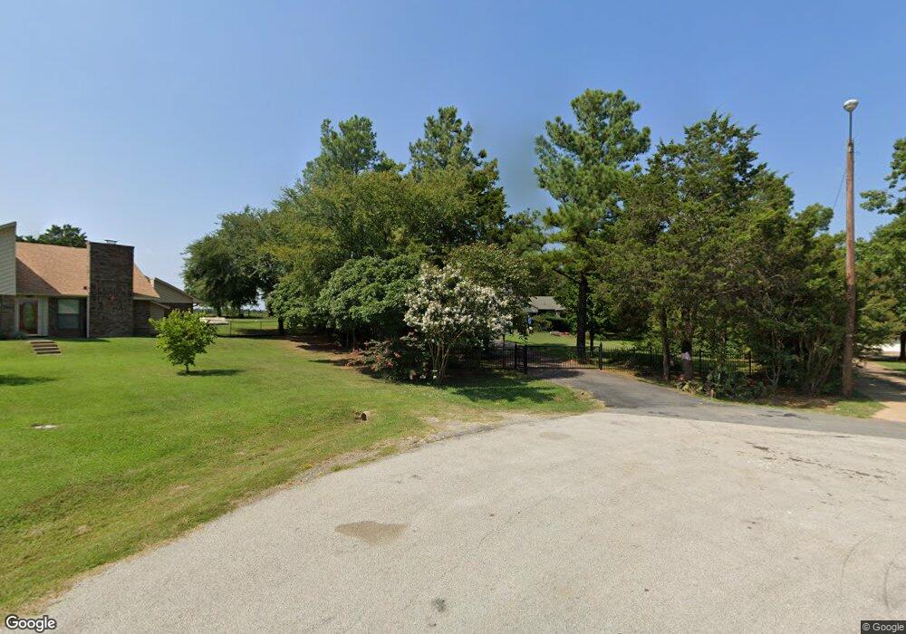
106 S Meadowbrook Dr Pottsboro, TX 75076
Estimated Value: $418,930 - $433,000
4
Beds
2
Baths
1,995
Sq Ft
$214/Sq Ft
Est. Value
About This Home
This home is located at 106 S Meadowbrook Dr, Pottsboro, TX 75076 and is currently estimated at $425,965, approximately $213 per square foot. 106 S Meadowbrook Dr is a home located in Grayson County with nearby schools including Pottsboro Elementary School, Pottsboro Middle School, and Pottsboro High School.
Ownership History
Date
Name
Owned For
Owner Type
Purchase Details
Closed on
Sep 19, 2008
Sold by
Leggett Mary A and Warr Mary A
Bought by
Cook Dwight E and Cook Elisa H
Current Estimated Value
Home Financials for this Owner
Home Financials are based on the most recent Mortgage that was taken out on this home.
Original Mortgage
$91,000
Outstanding Balance
$60,759
Interest Rate
6.6%
Mortgage Type
VA
Estimated Equity
$365,206
Create a Home Valuation Report for This Property
The Home Valuation Report is an in-depth analysis detailing your home's value as well as a comparison with similar homes in the area
Home Values in the Area
Average Home Value in this Area
Purchase History
| Date | Buyer | Sale Price | Title Company |
|---|---|---|---|
| Cook Dwight E | -- | Red River Title Co |
Source: Public Records
Mortgage History
| Date | Status | Borrower | Loan Amount |
|---|---|---|---|
| Open | Cook Dwight E | $91,000 |
Source: Public Records
Tax History Compared to Growth
Tax History
| Year | Tax Paid | Tax Assessment Tax Assessment Total Assessment is a certain percentage of the fair market value that is determined by local assessors to be the total taxable value of land and additions on the property. | Land | Improvement |
|---|---|---|---|---|
| 2025 | -- | $397,993 | $138,952 | $259,041 |
| 2024 | $7,249 | $375,598 | $113,835 | $261,763 |
| 2023 | $7,270 | $343,141 | $0 | $0 |
| 2022 | $6,610 | $311,946 | $0 | $0 |
| 2021 | $6,290 | $283,897 | $38,762 | $245,135 |
| 2020 | $5,908 | $299,041 | $38,762 | $260,279 |
| 2019 | $5,624 | $269,729 | $38,762 | $230,967 |
| 2018 | $5,161 | $213,063 | $38,762 | $174,301 |
| 2017 | $5,136 | $209,525 | $18,860 | $190,665 |
| 2016 | $4,225 | $172,387 | $18,860 | $153,527 |
| 2015 | $0 | $165,666 | $18,860 | $146,806 |
| 2014 | -- | $154,811 | $18,860 | $135,951 |
Source: Public Records
Map
Nearby Homes
- 133 S Meadowbrook Dr
- 3.269 Ac Sh 289
- 20 AC Preston Bend Rd
- 49 AC Preston Bend Rd
- 1023 Teagan Ct
- 1026 Addison Ave
- 1033 Addison Ave
- 1016 Fountain Creek Blvd
- 1131 Fountain Creek Blvd
- 2033 Nichole Blvd
- 3.269 AC Texas 289
- 705 Texas 289
- 297 Cemetery Rd
- 124 Chisolm Trail
- 104 Chisolm Trail
- 200 Clement Ct
- 129 Chisolm Trail
- 100 Chisolm Trail
- 117 Chisolm Trail
- 109 Chisolm Trail
- 108 S Meadowbrook Dr
- 186 N Meadowbrook Dr
- 123 S Meadowbrook Dr
- 110 S Meadowbrook Dr
- 125 S Meadowbrook Dr
- 183 N Meadowbrook Dr
- 127 S Meadowbrook Dr
- 112 S Meadowbrook Dr
- 184 N Meadowbrook Dr
- 135 S Meadowbrook Dr
- 129 S Meadowbrook Dr
- 179 N Meadowbrook Dr
- 114 S Meadowbrook Dr
- 169 Meadowbrook Ct
- 137 S Meadowbrook Dr
- 131 S Meadowbrook Dr
- 167 Meadowbrook Ct
- 177 N Meadowbrook Dr
- 171 Meadowbrook Ct
- 175 N Meadowbrook Dr