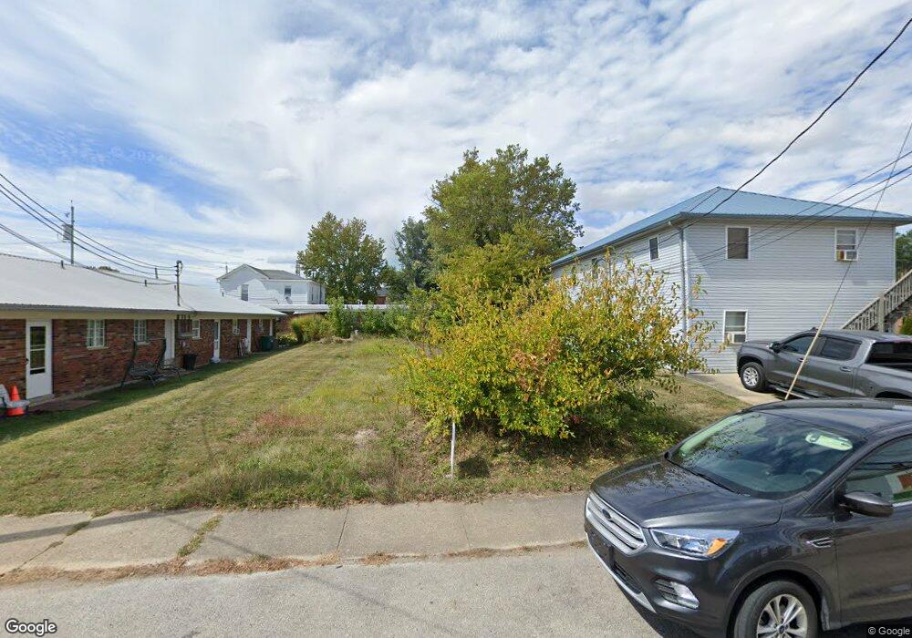
106 S Pleasant St Georgetown, OH 45121
Estimated Value: $27,318 - $195,000
--
Bed
--
Bath
--
Sq Ft
4,792
Sq Ft Lot
About This Home
This home is located at 106 S Pleasant St, Georgetown, OH 45121 and is currently estimated at $126,080. 106 S Pleasant St is a home located in Brown County with nearby schools including Georgetown Elementary School and Georgetown Jr/Sr High School.
Ownership History
Date
Name
Owned For
Owner Type
Purchase Details
Closed on
Mar 20, 2009
Sold by
Owens Landing Llc
Bought by
Napier Michael J
Current Estimated Value
Home Financials for this Owner
Home Financials are based on the most recent Mortgage that was taken out on this home.
Original Mortgage
$25,000
Outstanding Balance
$6,391
Interest Rate
5.11%
Mortgage Type
Future Advance Clause Open End Mortgage
Estimated Equity
$119,689
Purchase Details
Closed on
Oct 3, 2006
Sold by
Schuster Cheryl
Bought by
Owens Landing Llc
Purchase Details
Closed on
Dec 13, 2000
Sold by
Wilson Betty L
Bought by
Schuster John and Schuster Cheryl
Create a Home Valuation Report for This Property
The Home Valuation Report is an in-depth analysis detailing your home's value as well as a comparison with similar homes in the area
Home Values in the Area
Average Home Value in this Area
Purchase History
| Date | Buyer | Sale Price | Title Company |
|---|---|---|---|
| Napier Michael J | $25,000 | Attorney | |
| Owens Landing Llc | $25,000 | None Available | |
| Schuster John | $20,000 | -- |
Source: Public Records
Mortgage History
| Date | Status | Borrower | Loan Amount |
|---|---|---|---|
| Open | Napier Michael J | $25,000 |
Source: Public Records
Tax History Compared to Growth
Tax History
| Year | Tax Paid | Tax Assessment Tax Assessment Total Assessment is a certain percentage of the fair market value that is determined by local assessors to be the total taxable value of land and additions on the property. | Land | Improvement |
|---|---|---|---|---|
| 2024 | $167 | $4,590 | $4,590 | $0 |
| 2023 | $167 | $3,790 | $3,790 | $0 |
| 2022 | $150 | $3,790 | $3,790 | $0 |
| 2021 | $148 | $3,790 | $3,790 | $0 |
| 2020 | $131 | $3,160 | $3,160 | $0 |
| 2019 | $65 | $3,160 | $3,160 | $0 |
| 2018 | $129 | $3,160 | $3,160 | $0 |
| 2017 | $121 | $3,480 | $3,480 | $0 |
| 2016 | $121 | $3,480 | $3,480 | $0 |
| 2015 | $485 | $3,480 | $3,480 | $0 |
| 2014 | $485 | $13,250 | $3,160 | $10,090 |
| 2013 | $483 | $13,250 | $3,160 | $10,090 |
Source: Public Records
Map
Nearby Homes
- 102 Bill Dee Dr
- 306 W 2nd St
- 402 S Pleasant St
- 405 N Main St
- 505 S Water St
- 104 Elm St
- 406 E North St
- 403 Elmwood Ct
- 401 Elmwood Ct
- 508 Mount Orab Pike
- 60 New St
- 418 Home St
- 331 Spring Grove Dr
- 666 E State St
- 427 Kenwood Ave
- 708 E State St
- 874 Mount Orab Pike
- 0 St Rt 221 & Footbridge Unit 1826509
- 155 Free Soil Rd
- 25 Douglas Ln
- 104 S Pleasant St Unit 2
- 104 S Pleasant St
- 201 W Grant Ave
- 112 W Cherry St
- 207 W Grant Ave
- 207 W Grant Ave
- 8.9840ac Grant Ave
- 208 S Pleasant St
- 207 W Cherry St
- 117 W Cherry St
- 104 N Pleasant St
- 110 S Main St
- 204 W Grant Ave
- 204 W Grant Ave Unit 2
- 118 S Main St
- 100 S Green St
- 106 S Main St
- 203 S Green St
- 300 W Cherry St
- 116 S Main St