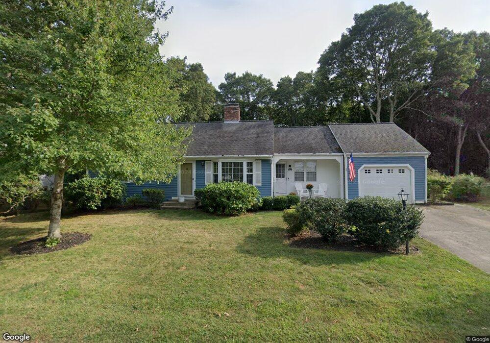
106 Sailfish Dr East Falmouth, MA 02536
Estimated Value: $646,000 - $842,000
2
Beds
2
Baths
2,576
Sq Ft
$297/Sq Ft
Est. Value
About This Home
This home is located at 106 Sailfish Dr, East Falmouth, MA 02536 and is currently estimated at $764,717, approximately $296 per square foot. 106 Sailfish Dr is a home located in Barnstable County with nearby schools including East Falmouth Elementary School, Morse Pond School, and Lawrence School.
Ownership History
Date
Name
Owned For
Owner Type
Purchase Details
Closed on
Oct 26, 2023
Sold by
Johnson Samuel N
Bought by
Nicholson Jill
Current Estimated Value
Home Financials for this Owner
Home Financials are based on the most recent Mortgage that was taken out on this home.
Original Mortgage
$400,000
Outstanding Balance
$391,386
Interest Rate
6.38%
Mortgage Type
Purchase Money Mortgage
Estimated Equity
$373,331
Purchase Details
Closed on
Aug 19, 1982
Bought by
Johnson Samuel N and Johnson Elizabeth A
Create a Home Valuation Report for This Property
The Home Valuation Report is an in-depth analysis detailing your home's value as well as a comparison with similar homes in the area
Home Values in the Area
Average Home Value in this Area
Purchase History
| Date | Buyer | Sale Price | Title Company |
|---|---|---|---|
| Nicholson Jill | $675,000 | None Available | |
| Nicholson Jill | $675,000 | None Available | |
| Johnson Samuel N | $77,000 | -- |
Source: Public Records
Mortgage History
| Date | Status | Borrower | Loan Amount |
|---|---|---|---|
| Open | Nicholson Jill | $400,000 | |
| Closed | Nicholson Jill | $400,000 | |
| Previous Owner | Johnson Samuel N | $19,000 |
Source: Public Records
Tax History Compared to Growth
Tax History
| Year | Tax Paid | Tax Assessment Tax Assessment Total Assessment is a certain percentage of the fair market value that is determined by local assessors to be the total taxable value of land and additions on the property. | Land | Improvement |
|---|---|---|---|---|
| 2025 | $4,025 | $685,700 | $247,900 | $437,800 |
| 2024 | $3,522 | $560,900 | $221,300 | $339,600 |
| 2023 | $3,242 | $468,500 | $177,100 | $291,400 |
| 2022 | $3,261 | $405,100 | $153,700 | $251,400 |
| 2021 | $3,175 | $373,500 | $147,100 | $226,400 |
| 2020 | $3,093 | $360,100 | $133,700 | $226,400 |
| 2019 | $2,982 | $348,400 | $133,700 | $214,700 |
| 2018 | $2,847 | $331,000 | $133,700 | $197,300 |
| 2017 | $2,766 | $324,300 | $133,700 | $190,600 |
| 2016 | $2,658 | $317,600 | $133,700 | $183,900 |
| 2015 | $2,601 | $317,600 | $133,700 | $183,900 |
| 2014 | $2,616 | $321,000 | $137,900 | $183,100 |
Source: Public Records
Map
Nearby Homes
- 28 Sheila Way
- 42 Hanson Cir
- 27 Emerald Ln
- 30 Weatherglass Ln
- 16 Annette Ave
- 45 Green Pond Rd
- 0 Elsies Way Unit 22505181
- 0 Elsies Way Unit 73443603
- 14 Old Meeting House Rd
- 9 Theroux Dr
- 0 Tobey Ln
- 87 Acapesket Rd Unit 3B
- 87 Acapesket Rd Unit 3A
- 52 Bacon Farm Rd
- 23 N Bournes Pond Rd
- 23 N Bournes Pond Rd
- 25 Mill Pond Way
- 53 Eel River Rd