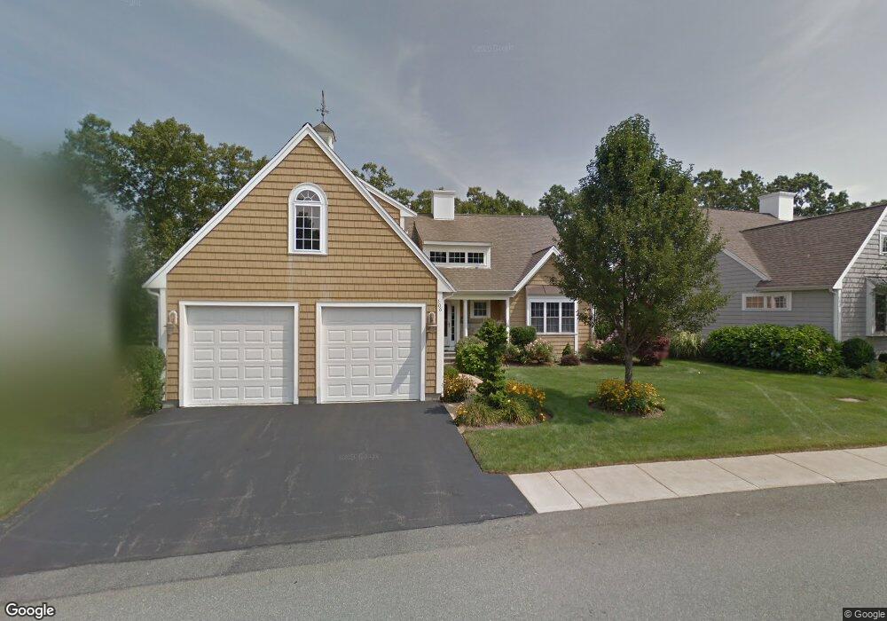
106 Sandtrap Cir South Weymouth, MA 02190
South Weymouth NeighborhoodEstimated Value: $1,129,000 - $1,473,000
2
Beds
4
Baths
3,190
Sq Ft
$396/Sq Ft
Est. Value
About This Home
This home is located at 106 Sandtrap Cir, South Weymouth, MA 02190 and is currently estimated at $1,264,389, approximately $396 per square foot. 106 Sandtrap Cir is a home located in Norfolk County with nearby schools including Thomas W. Hamilton Primary School, Abigail Adams Middle School, and Weymouth Middle School Chapman.
Ownership History
Date
Name
Owned For
Owner Type
Purchase Details
Closed on
Mar 29, 2004
Sold by
Weathervane Dev Corp
Bought by
Gurnon Florence and Gurnon Ronald K
Current Estimated Value
Home Financials for this Owner
Home Financials are based on the most recent Mortgage that was taken out on this home.
Original Mortgage
$125,000
Outstanding Balance
$58,782
Interest Rate
5.65%
Mortgage Type
Purchase Money Mortgage
Estimated Equity
$1,205,607
Create a Home Valuation Report for This Property
The Home Valuation Report is an in-depth analysis detailing your home's value as well as a comparison with similar homes in the area
Home Values in the Area
Average Home Value in this Area
Purchase History
| Date | Buyer | Sale Price | Title Company |
|---|---|---|---|
| Gurnon Florence | $606,780 | -- |
Source: Public Records
Mortgage History
| Date | Status | Borrower | Loan Amount |
|---|---|---|---|
| Open | Gurnon Florence | $125,000 |
Source: Public Records
Tax History Compared to Growth
Tax History
| Year | Tax Paid | Tax Assessment Tax Assessment Total Assessment is a certain percentage of the fair market value that is determined by local assessors to be the total taxable value of land and additions on the property. | Land | Improvement |
|---|---|---|---|---|
| 2025 | $11,765 | $1,164,900 | $0 | $1,164,900 |
| 2024 | $11,436 | $1,113,500 | $0 | $1,113,500 |
| 2023 | $10,034 | $960,200 | $0 | $960,200 |
| 2022 | $10,049 | $876,900 | $0 | $876,900 |
| 2021 | $9,862 | $840,000 | $0 | $840,000 |
| 2020 | $9,619 | $807,000 | $0 | $807,000 |
| 2019 | $10,323 | $851,700 | $0 | $851,700 |
| 2018 | $9,984 | $798,700 | $0 | $798,700 |
| 2017 | $10,047 | $784,300 | $0 | $784,300 |
| 2016 | $9,847 | $769,300 | $0 | $769,300 |
| 2015 | $9,482 | $735,000 | $0 | $735,000 |
| 2014 | $9,620 | $723,300 | $0 | $723,300 |
Source: Public Records
Map
Nearby Homes
- 18 Ben Hogan Landing Unit 18
- 17 Buchanan Ln
- 79 Tilden Rd
- 299 Union St
- 17 Sears Rd
- 26 Leahaven Rd
- 4 Edward Cody Ln
- 540 Union St
- 102 White St
- 25 Wales Ave
- 279 Pine St
- 446 Ralph Talbot St
- 197 White St
- 41 Oak St
- 5 Oak St
- 206 Pine St
- 45 Union St
- 261 Pleasant St Unit 5
- 82 Snowbird Ave
- 65 Webster St Unit 401
- 112 Sandtrap Cir
- 100 Sandtrap Cir
- 103 Sandtrap Cir
- 109 Sandtrap Cir
- 120 Sandtrap Cir
- 99 Sandtrap Cir
- 115 Sandtrap Cir
- 92 Sandtrap Cir
- 91 Sandtrap Cir
- 117 Sandtrap Cir
- 126 Sandtrap Cir
- 18 Birdie Ln
- 84 Sandtrap Cir
- 123 Sandtrap Cir
- 15 Eagle Way
- 81 Sandtrap Cir
- 14 Birdie Ln
- 30 Mulligan Dr Unit 95
- 30 Mulligan Dr
- 30 Mulligan Dr Unit 30