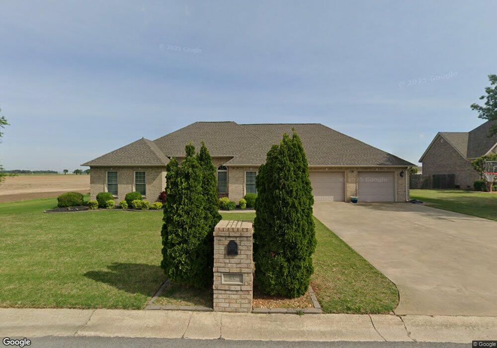
106 Savannah Cir Walnut Ridge, AR 72476
Estimated Value: $400,000 - $473,000
4
Beds
3
Baths
3,212
Sq Ft
$135/Sq Ft
Est. Value
About This Home
This home is located at 106 Savannah Cir, Walnut Ridge, AR 72476 and is currently estimated at $432,712, approximately $134 per square foot. 106 Savannah Cir is a home located in Lawrence County with nearby schools including Walnut Ridge Elementary School and Walnut Ridge High School.
Ownership History
Date
Name
Owned For
Owner Type
Purchase Details
Closed on
Apr 20, 2020
Sold by
Burgin Richie Kyle
Bought by
Burgin Leslie A
Current Estimated Value
Home Financials for this Owner
Home Financials are based on the most recent Mortgage that was taken out on this home.
Original Mortgage
$127,000
Outstanding Balance
$112,477
Interest Rate
3.5%
Mortgage Type
New Conventional
Estimated Equity
$320,235
Purchase Details
Closed on
Sep 14, 2006
Sold by
G A W
Bought by
Burgin Richie and Burgin Leslie
Create a Home Valuation Report for This Property
The Home Valuation Report is an in-depth analysis detailing your home's value as well as a comparison with similar homes in the area
Home Values in the Area
Average Home Value in this Area
Purchase History
| Date | Buyer | Sale Price | Title Company |
|---|---|---|---|
| Burgin Leslie A | -- | Professional Ttl Svcs Of Ar | |
| Burgin Richie | $18,000 | None Available |
Source: Public Records
Mortgage History
| Date | Status | Borrower | Loan Amount |
|---|---|---|---|
| Open | Burgin Leslie A | $127,000 |
Source: Public Records
Tax History
| Year | Tax Paid | Tax Assessment Tax Assessment Total Assessment is a certain percentage of the fair market value that is determined by local assessors to be the total taxable value of land and additions on the property. | Land | Improvement |
|---|---|---|---|---|
| 2025 | $2,219 | $66,098 | $9,000 | $57,098 |
| 2024 | $2,219 | $66,098 | $9,000 | $57,098 |
| 2023 | $2,170 | $66,098 | $9,000 | $57,098 |
| 2022 | $2,097 | $54,530 | $5,000 | $49,530 |
| 2021 | $2,097 | $54,530 | $5,000 | $49,530 |
| 2020 | $2,097 | $54,530 | $5,000 | $49,530 |
| 2019 | $2,097 | $54,530 | $5,000 | $49,530 |
| 2018 | $2,122 | $54,530 | $5,000 | $49,530 |
| 2017 | $1,997 | $55,360 | $5,000 | $50,360 |
| 2016 | $1,997 | $55,360 | $5,000 | $50,360 |
| 2015 | $1,997 | $55,360 | $5,000 | $50,360 |
| 2014 | $1,997 | $55,360 | $5,000 | $50,360 |
Source: Public Records
Map
Nearby Homes
- 104 Savannah Cir
- 107 Savannah Cir
- 105 Savannah Cir
- 102 Savannah Cir
- 205 Cambridge Cove
- 208 Jamestown Rd
- 206 Jamestown Rd
- 101 Williamsburg Rd
- 103 Savannah Cir
- 204 Jamestown Rd
- 101 Savannah Cir
- 100 Savannah Cir
- 201 Cambridge Cove
- 102 Cambridge Cove
- 203 Charleston Dr
- 202 Jamestown Rd
- 100 Cambridge Cove
- 207 Jamestown Rd
- 100 Williamsburg Rd
- 205 Jamestown Rd
Your Personal Tour Guide
Ask me questions while you tour the home.