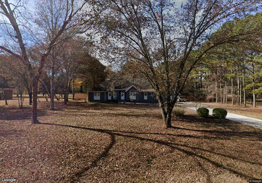
106 Shawnee Dr NW Huntsville, AL 35806
Research Park NeighborhoodEstimated Value: $612,000 - $740,000
--
Bed
1
Bath
3,566
Sq Ft
$188/Sq Ft
Est. Value
About This Home
This home is located at 106 Shawnee Dr NW, Huntsville, AL 35806 and is currently estimated at $670,300, approximately $187 per square foot. 106 Shawnee Dr NW is a home with nearby schools including Monrovia Elementary School, Monrovia Middle School, and Sparkman High School.
Ownership History
Date
Name
Owned For
Owner Type
Purchase Details
Closed on
Mar 22, 2024
Sold by
Hunnicutt David
Bought by
Hunnicutt David and Hunnicutt Caneta Hall
Current Estimated Value
Purchase Details
Closed on
May 15, 2008
Sold by
Mcalister Sylvia F
Bought by
Hunnicutt David A
Home Financials for this Owner
Home Financials are based on the most recent Mortgage that was taken out on this home.
Original Mortgage
$384,000
Interest Rate
5.86%
Mortgage Type
New Conventional
Purchase Details
Closed on
Feb 23, 2005
Sold by
Buntin Irvin T and Buntin Barbara F
Bought by
Mcalister Sylvia F
Home Financials for this Owner
Home Financials are based on the most recent Mortgage that was taken out on this home.
Original Mortgage
$332,000
Interest Rate
5.68%
Mortgage Type
New Conventional
Create a Home Valuation Report for This Property
The Home Valuation Report is an in-depth analysis detailing your home's value as well as a comparison with similar homes in the area
Home Values in the Area
Average Home Value in this Area
Purchase History
| Date | Buyer | Sale Price | Title Company |
|---|---|---|---|
| Hunnicutt David | -- | None Listed On Document | |
| Hunnicutt David | -- | None Listed On Document | |
| Hunnicutt David A | -- | -- | |
| Mcalister Sylvia F | -- | -- |
Source: Public Records
Mortgage History
| Date | Status | Borrower | Loan Amount |
|---|---|---|---|
| Previous Owner | Hunnicutt David A | $384,000 | |
| Previous Owner | Mcalister Sylvia F | $332,000 |
Source: Public Records
Tax History Compared to Growth
Tax History
| Year | Tax Paid | Tax Assessment Tax Assessment Total Assessment is a certain percentage of the fair market value that is determined by local assessors to be the total taxable value of land and additions on the property. | Land | Improvement |
|---|---|---|---|---|
| 2024 | $2,045 | $55,260 | $8,500 | $46,760 |
| 2023 | $1,943 | $54,340 | $8,500 | $45,840 |
| 2022 | $1,835 | $52,280 | $8,500 | $43,780 |
| 2021 | $1,697 | $48,520 | $8,500 | $40,020 |
| 2020 | $1,510 | $43,380 | $8,500 | $34,880 |
| 2019 | $1,510 | $43,380 | $8,500 | $34,880 |
| 2018 | $1,508 | $43,340 | $0 | $0 |
| 2017 | $1,508 | $43,340 | $0 | $0 |
| 2016 | $1,508 | $43,340 | $0 | $0 |
| 2015 | $1,508 | $43,340 | $0 | $0 |
| 2014 | $1,445 | $41,600 | $0 | $0 |
Source: Public Records
Map
Nearby Homes
- 6426 Dunnavant Place NW
- 0 County Road 118 Unit 21432867
- 6414 Dunnavant Place NW
- 146 Springhill Rd NW
- 6453 Lincoln Park Place NW
- 1224 Smooth Stone Trail
- 1272 Smooth Stone Trail
- 1273 Smooth Stone Trail
- 1219 Smooth Stone Trail
- 1214 Smooth Stone Trail
- 6404 Lenox Hill Way
- 6408 Midtowne Ln NW
- 6417 Lenox Hill Way
- 6422 Lenox Hill Way
- 1110 Pegasus Dr NW
- 122 Moore Farm Cir NW
- 6426 Lenox Hill Way
- 6423 Lenox Hill Way
- 6425 Lenox Hill Way
- 6429 Lenox Hill Way
- 108 Shawnee Dr NW
- 107 Shawnee Dr NW
- 102 Shawnee Dr NW
- 105 Shawnee Dr NW
- 110 Shawnee Dr NW
- 109 Shawnee Dr NW
- 111 Shawnee Dr NW
- 112 Shawnee Dr NW
- 101 Shawnee Dr NW
- 113 Shawnee Dr NW
- 161 Country Rd NW
- 114 Shawnee Dr NW
- 100 Shawnee Dr NW
- 149 Country Rd NW
- 115 Shawnee Dr NW
- 179 Country Rd NW
- 161 Springhill Rd NW
- 116 Shawnee Dr NW
- 195 Country Rd NW
- 201 Springhill Rd NW