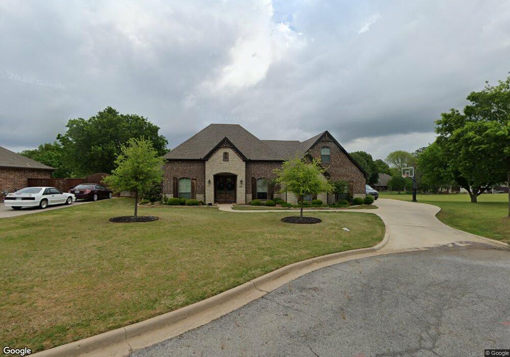
106 Southfork Cir Pottsboro, TX 75076
Estimated Value: $424,820 - $499,000
--
Bed
--
Bath
2,443
Sq Ft
$189/Sq Ft
Est. Value
About This Home
This home is located at 106 Southfork Cir, Pottsboro, TX 75076 and is currently estimated at $461,910, approximately $189 per square foot. 106 Southfork Cir is a home with nearby schools including Pottsboro Elementary School, Pottsboro Middle School, and Pottsboro High School.
Ownership History
Date
Name
Owned For
Owner Type
Purchase Details
Closed on
Aug 16, 2016
Sold by
Mc Watson Construction Llc
Bought by
Nix Gregory L and Nix Catherine E
Current Estimated Value
Home Financials for this Owner
Home Financials are based on the most recent Mortgage that was taken out on this home.
Original Mortgage
$229,000
Outstanding Balance
$182,301
Interest Rate
3.41%
Mortgage Type
New Conventional
Estimated Equity
$279,609
Purchase Details
Closed on
Aug 6, 2015
Sold by
Richards Gary L and Richards Jennifer J
Bought by
Watson Mike and Watson Cole
Purchase Details
Closed on
Jul 15, 2013
Sold by
Choate Brunson
Bought by
Richards Gary L and Richards Jennifer J
Home Financials for this Owner
Home Financials are based on the most recent Mortgage that was taken out on this home.
Original Mortgage
$17,000
Interest Rate
3.83%
Mortgage Type
New Conventional
Create a Home Valuation Report for This Property
The Home Valuation Report is an in-depth analysis detailing your home's value as well as a comparison with similar homes in the area
Home Values in the Area
Average Home Value in this Area
Purchase History
| Date | Buyer | Sale Price | Title Company |
|---|---|---|---|
| Nix Gregory L | -- | None Available | |
| Mc Watson Construction Llc | -- | None Available | |
| Watson Mike | -- | Chapin Title Co Inc | |
| Richards Gary L | -- | Grayson County Title |
Source: Public Records
Mortgage History
| Date | Status | Borrower | Loan Amount |
|---|---|---|---|
| Open | Nix Gregory L | $229,000 | |
| Previous Owner | Richards Gary L | $17,000 |
Source: Public Records
Tax History Compared to Growth
Tax History
| Year | Tax Paid | Tax Assessment Tax Assessment Total Assessment is a certain percentage of the fair market value that is determined by local assessors to be the total taxable value of land and additions on the property. | Land | Improvement |
|---|---|---|---|---|
| 2025 | $6,858 | $465,659 | -- | -- |
| 2024 | $8,170 | $423,326 | $0 | $0 |
| 2023 | $6,117 | $384,842 | $0 | $0 |
| 2022 | $7,413 | $349,856 | $0 | $0 |
| 2021 | $7,055 | $326,068 | $40,050 | $286,018 |
| 2020 | $6,626 | $289,137 | $40,050 | $249,087 |
| 2019 | $7,236 | $334,302 | $40,050 | $294,252 |
| 2018 | $6,639 | $274,116 | $18,275 | $255,841 |
| 2017 | $6,207 | $253,224 | $18,275 | $234,949 |
| 2016 | $448 | $18,275 | $18,275 | $0 |
| 2015 | $0 | $6,340 | $6,340 | $0 |
| 2014 | -- | $6,340 | $6,340 | $0 |
Source: Public Records
Map
Nearby Homes
- 104 Southfork Cir
- 109 Middlefield Dr
- 107 Middlefield Dr
- 111 Middlefield Dr
- 107 Southfork Cir
- 105 Middlefield Dr
- 105 Southfork Cir
- 113 Middlefield Dr
- 110 Elm Creek
- 103 Middlefield Dr
- 108 Elm Creek
- 115 Middlefield Dr
- 106 Middlefield Dr
- 108 Middlefield Dr
- 101 Southfork Cir
- 104 Middlefield Dr
- 101 Middlefield Dr
- 102 Middlefield Dr
- 100 Middlefield Dr
- 111 Elm Creek