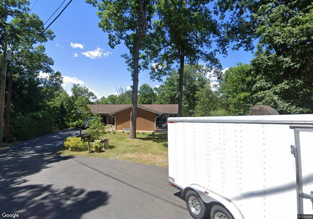
106 Stanley Cir Winchester, VA 22602
Estimated Value: $386,000 - $425,000
3
Beds
2
Baths
1,757
Sq Ft
$231/Sq Ft
Est. Value
About This Home
This home is located at 106 Stanley Cir, Winchester, VA 22602 and is currently estimated at $405,314, approximately $230 per square foot. 106 Stanley Cir is a home located in Frederick County with nearby schools including Armel Elementary School, Admiral Richard E. Byrd Middle School, and Millbrook High School.
Ownership History
Date
Name
Owned For
Owner Type
Purchase Details
Closed on
Oct 15, 2021
Sold by
Smith Homer Mason and Smith Tonya F
Bought by
Smith Homer Mason and Smith Tonya F
Current Estimated Value
Purchase Details
Closed on
Feb 28, 2001
Sold by
Grant Kevin E
Bought by
Smith H Mason
Home Financials for this Owner
Home Financials are based on the most recent Mortgage that was taken out on this home.
Original Mortgage
$115,900
Outstanding Balance
$42,139
Interest Rate
7%
Estimated Equity
$363,175
Create a Home Valuation Report for This Property
The Home Valuation Report is an in-depth analysis detailing your home's value as well as a comparison with similar homes in the area
Home Values in the Area
Average Home Value in this Area
Purchase History
| Date | Buyer | Sale Price | Title Company |
|---|---|---|---|
| Smith Homer Mason | -- | None Available | |
| Smith H Mason | $144,900 | -- |
Source: Public Records
Mortgage History
| Date | Status | Borrower | Loan Amount |
|---|---|---|---|
| Open | Smith H Mason | $115,900 |
Source: Public Records
Tax History Compared to Growth
Tax History
| Year | Tax Paid | Tax Assessment Tax Assessment Total Assessment is a certain percentage of the fair market value that is determined by local assessors to be the total taxable value of land and additions on the property. | Land | Improvement |
|---|---|---|---|---|
| 2025 | $1,909 | $397,800 | $88,000 | $309,800 |
| 2024 | $847 | $332,100 | $72,000 | $260,100 |
| 2023 | $1,694 | $332,100 | $72,000 | $260,100 |
| 2022 | $1,632 | $267,500 | $67,000 | $200,500 |
| 2021 | $1,632 | $267,500 | $67,000 | $200,500 |
| 2020 | $1,452 | $238,000 | $67,000 | $171,000 |
| 2019 | $1,452 | $238,000 | $67,000 | $171,000 |
| 2018 | $1,402 | $229,900 | $67,000 | $162,900 |
| 2017 | $1,379 | $229,900 | $67,000 | $162,900 |
| 2016 | $1,249 | $208,100 | $54,500 | $153,600 |
| 2015 | $1,165 | $208,100 | $54,500 | $153,600 |
| 2014 | $580 | $196,300 | $54,500 | $141,800 |
Source: Public Records
Map
Nearby Homes
- 107 Stanley Cir
- 104 Stanley Cir
- 211 Stanley Dr
- 215 Stanley Dr
- 200 Flanagan Dr
- 202 Flanagan Dr
- 105 Stanley Cir
- 102 Stanley Cir
- 217 Stanley Dr
- 204 Flanagan Dr
- 126 Flanagan Dr
- 130 Flanagan Dr
- 128 Flanagan Dr
- 212 Stanley Dr
- 206 Flanagan Dr
- 112 Donegal Ct
- 103 Stanley Cir
- 219 Stanley Dr
- 111 Donegal Ct
- 201 Custer Ave