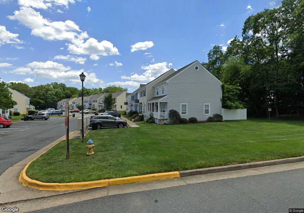
106 Surry Ln Stafford, VA 22556
Garrisonville NeighborhoodEstimated Value: $285,033 - $304,000
3
Beds
2
Baths
1,260
Sq Ft
$233/Sq Ft
Est. Value
About This Home
This home is located at 106 Surry Ln, Stafford, VA 22556 and is currently estimated at $293,008, approximately $232 per square foot. 106 Surry Ln is a home located in Stafford County with nearby schools including Kate Waller Barrett Elementary School, H.H. Poole Middle School, and North Stafford High School.
Ownership History
Date
Name
Owned For
Owner Type
Purchase Details
Closed on
Oct 11, 2011
Sold by
Self Help Ventures Fund
Bought by
Poggi William
Current Estimated Value
Home Financials for this Owner
Home Financials are based on the most recent Mortgage that was taken out on this home.
Original Mortgage
$77,175
Outstanding Balance
$52,407
Interest Rate
4.01%
Mortgage Type
New Conventional
Estimated Equity
$240,601
Purchase Details
Closed on
Apr 6, 2011
Sold by
Muncy Trustee Johnie R and Scriven Herman
Bought by
Self Help Venture Fund
Purchase Details
Closed on
Mar 30, 2007
Sold by
Rowen William H
Bought by
Scriven Herman
Home Financials for this Owner
Home Financials are based on the most recent Mortgage that was taken out on this home.
Original Mortgage
$202,999
Interest Rate
6.33%
Mortgage Type
New Conventional
Create a Home Valuation Report for This Property
The Home Valuation Report is an in-depth analysis detailing your home's value as well as a comparison with similar homes in the area
Home Values in the Area
Average Home Value in this Area
Purchase History
| Date | Buyer | Sale Price | Title Company |
|---|---|---|---|
| Poggi William | $102,900 | -- | |
| Self Help Venture Fund | $210,487 | -- | |
| Scriven Herman | $202,999 | -- |
Source: Public Records
Mortgage History
| Date | Status | Borrower | Loan Amount |
|---|---|---|---|
| Open | Poggi William | $77,175 | |
| Previous Owner | Scriven Herman | $202,999 |
Source: Public Records
Tax History Compared to Growth
Tax History
| Year | Tax Paid | Tax Assessment Tax Assessment Total Assessment is a certain percentage of the fair market value that is determined by local assessors to be the total taxable value of land and additions on the property. | Land | Improvement |
|---|---|---|---|---|
| 2025 | $2,169 | $239,200 | $81,100 | $158,100 |
| 2024 | $2,169 | $239,200 | $81,100 | $158,100 |
| 2023 | $1,929 | $204,100 | $73,700 | $130,400 |
| 2022 | $1,735 | $204,100 | $73,700 | $130,400 |
| 2021 | $1,433 | $147,700 | $35,300 | $112,400 |
| 2020 | $1,433 | $147,700 | $35,300 | $112,400 |
| 2019 | $1,354 | $134,100 | $31,000 | $103,100 |
| 2018 | $1,328 | $134,100 | $31,000 | $103,100 |
| 2017 | $1,184 | $119,600 | $12,800 | $106,800 |
| 2016 | $1,184 | $119,600 | $12,800 | $106,800 |
| 2015 | -- | $120,900 | $12,800 | $108,100 |
| 2014 | -- | $120,900 | $12,800 | $108,100 |
Source: Public Records
Map
Nearby Homes
- 200 Surry Ln Unit 118
- 611 Madison Ct Unit 611
- 202 Buckingham Ln Unit 102
- 205 Powhatan Ct Unit 100
- 201 Mews Ct
- 34 Oak Rd
- 0 Fritters Ln
- 501 Garrison Woods Dr Unit 303
- 12 Jane Ct
- 308 Independence Dr
- 304 Merrill Ct
- 15 Jason Ct
- 202 Blueridge Ct
- 7 Lee Ct
- 224 Oak Grove Ln
- 119 Juggins Rd
- 115 Austin Dr
- 302 Pinnacle Dr
- 4 Asmead Place
- 0 Mine Rd Unit 1000094851