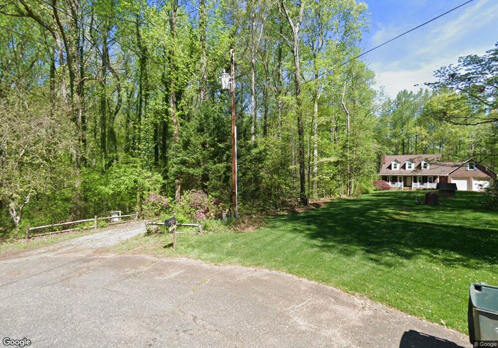
106 Teton Place Unit 65 Mount Holly, NC 28120
Estimated Value: $375,000 - $481,000
3
Beds
2
Baths
1,750
Sq Ft
$238/Sq Ft
Est. Value
About This Home
This home is located at 106 Teton Place Unit 65, Mount Holly, NC 28120 and is currently estimated at $416,356, approximately $237 per square foot. 106 Teton Place Unit 65 is a home located in Gaston County with nearby schools including Springfield Primary School, Kiser Elementary School, and Stanley Middle School.
Ownership History
Date
Name
Owned For
Owner Type
Purchase Details
Closed on
Sep 30, 2021
Sold by
Friend Robert M and Friend Rebecca F
Bought by
Scannell Paul M
Current Estimated Value
Home Financials for this Owner
Home Financials are based on the most recent Mortgage that was taken out on this home.
Original Mortgage
$294,500
Outstanding Balance
$249,015
Interest Rate
2.8%
Mortgage Type
New Conventional
Estimated Equity
$167,341
Purchase Details
Closed on
Jun 28, 2002
Sold by
Long Frank D and Dever Lynda R
Bought by
Friend Robert M and Friend Rebecca F
Home Financials for this Owner
Home Financials are based on the most recent Mortgage that was taken out on this home.
Original Mortgage
$133,500
Interest Rate
6.86%
Create a Home Valuation Report for This Property
The Home Valuation Report is an in-depth analysis detailing your home's value as well as a comparison with similar homes in the area
Home Values in the Area
Average Home Value in this Area
Purchase History
| Date | Buyer | Sale Price | Title Company |
|---|---|---|---|
| Scannell Paul M | $310,000 | Master Title Agency Llc | |
| Friend Robert M | $178,000 | -- |
Source: Public Records
Mortgage History
| Date | Status | Borrower | Loan Amount |
|---|---|---|---|
| Open | Scannell Paul M | $294,500 | |
| Previous Owner | Friend Robert M | $133,500 |
Source: Public Records
Tax History Compared to Growth
Tax History
| Year | Tax Paid | Tax Assessment Tax Assessment Total Assessment is a certain percentage of the fair market value that is determined by local assessors to be the total taxable value of land and additions on the property. | Land | Improvement |
|---|---|---|---|---|
| 2025 | $2,108 | $300,320 | $37,880 | $262,440 |
| 2024 | $2,108 | $295,250 | $37,880 | $257,370 |
| 2023 | $2,052 | $295,250 | $37,880 | $257,370 |
| 2022 | $1,803 | $196,010 | $31,730 | $164,280 |
| 2021 | $1,848 | $196,010 | $31,730 | $164,280 |
| 2019 | $1,829 | $196,010 | $31,730 | $164,280 |
| 2018 | $1,395 | $141,788 | $31,073 | $110,715 |
| 2017 | $1,390 | $141,788 | $31,073 | $110,715 |
| 2016 | $1,382 | $141,788 | $0 | $0 |
| 2014 | $1,268 | $130,024 | $35,630 | $94,394 |
Source: Public Records
Map
Nearby Homes
- 113 Sawtooth Ln Unit 27
- 1335 Blacksnake Rd
- 310 Ponderosa Rd
- 2319 Alexis Lucia Rd
- 0000 Country Woods Ln
- 543 Blacksnake Rd
- 5156 Stockbridge Dr Unit 45
- 317 Electra Ln
- 231 Stockwood Ln
- 3178 Pinehills Way
- 3173 Pinehills Way
- 3156 Pinehills Way
- 3151 Pinehills Way
- 3127 Pinehills Way
- 00 Old Mount Holly Rd
- 6200 Bellingham Dr
- 5143 Arbordale Way
- 133 Devynn Ridge Ct
- 1769 Old Nc 27 Hwy
- 5113 Arbordale Way
- 106 Teton Place
- 104 Teton Place
- 102 Teton Place
- 210 Blue Ridge Dr
- 105 Aspen Ct
- 105 Teton Place
- 216 Blue Ridge Dr
- 204 Blue Ridge Dr
- 222 Blue Ridge Dr
- 124 Blue Ridge Dr
- 103 Teton Place
- 101 Aspen Ct
- 205 Blue Ridge Dr
- 118 Blue Ridge Dr
- 101 Teton Place
- 234 Blue Ridge Dr
- 108 Aspen Ct
- 225 Blue Ridge Dr
- 121 Blue Ridge Dr
- 103 Rutledge Rd