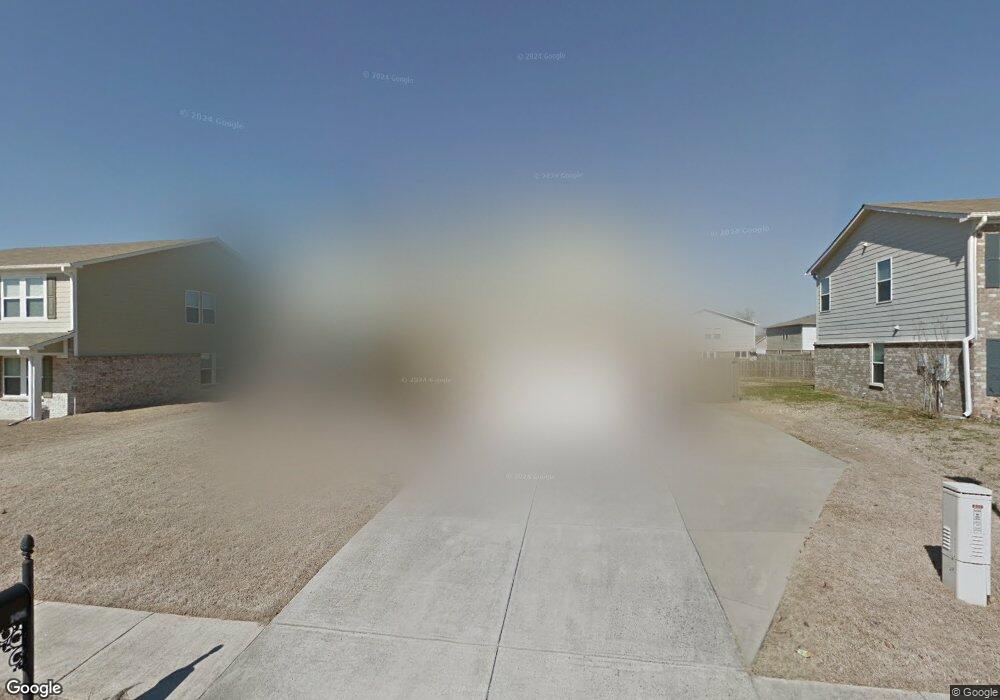
106 Tynedale Dr Madison, AL 35756
Estimated Value: $310,000 - $326,000
--
Bed
1
Bath
2,043
Sq Ft
$156/Sq Ft
Est. Value
About This Home
This home is located at 106 Tynedale Dr, Madison, AL 35756 and is currently estimated at $318,599, approximately $155 per square foot. 106 Tynedale Dr is a home with nearby schools including Mill Creek Elementary School, Liberty Middle School, and James Clemens High School.
Ownership History
Date
Name
Owned For
Owner Type
Purchase Details
Closed on
Aug 14, 2008
Sold by
Hunter Communities Inc
Bought by
Kim Sung and Kim Emily
Current Estimated Value
Home Financials for this Owner
Home Financials are based on the most recent Mortgage that was taken out on this home.
Original Mortgage
$162,155
Outstanding Balance
$105,798
Interest Rate
6.21%
Estimated Equity
$212,801
Purchase Details
Closed on
May 30, 2008
Sold by
Phase Three Llc
Bought by
Hunter Communities Inc
Home Financials for this Owner
Home Financials are based on the most recent Mortgage that was taken out on this home.
Original Mortgage
$0
Interest Rate
6.02%
Create a Home Valuation Report for This Property
The Home Valuation Report is an in-depth analysis detailing your home's value as well as a comparison with similar homes in the area
Home Values in the Area
Average Home Value in this Area
Purchase History
| Date | Buyer | Sale Price | Title Company |
|---|---|---|---|
| Kim Sung | $165,155 | -- | |
| Hunter Communities Inc | -- | -- |
Source: Public Records
Mortgage History
| Date | Status | Borrower | Loan Amount |
|---|---|---|---|
| Open | Kim Sung | $162,155 | |
| Previous Owner | Hunter Communities Inc | $0 | |
| Closed | Hunter Communities Inc | $0 |
Source: Public Records
Tax History Compared to Growth
Tax History
| Year | Tax Paid | Tax Assessment Tax Assessment Total Assessment is a certain percentage of the fair market value that is determined by local assessors to be the total taxable value of land and additions on the property. | Land | Improvement |
|---|---|---|---|---|
| 2024 | $4,405 | $61,180 | $0 | $0 |
| 2023 | $4,417 | $58,980 | $0 | $0 |
| 2022 | $3,619 | $50,100 | $0 | $0 |
| 2021 | $3,283 | $45,440 | $0 | $0 |
| 2020 | $2,860 | $39,560 | $0 | $0 |
| 2019 | $2,407 | $39,920 | $0 | $0 |
| 2018 | $2,126 | $35,240 | $0 | $0 |
| 2017 | $2,114 | $35,240 | $0 | $0 |
| 2016 | $2,114 | $176,200 | $0 | $0 |
| 2015 | $2,176 | $36,080 | $0 | $0 |
| 2014 | $1,049 | $0 | $0 | $0 |
Source: Public Records
Map
Nearby Homes
- 120 Grantham Cir
- 210 Healey Dr
- 113 Woodvale Dr
- 102 Millbury Way
- 118 Wesly Clark Blvd
- 247 New Bristol Ln
- 156 Brockton Dr Unit 122
- 156 Brockton Dr
- 109 Thornley Ct
- 104 Castleview Dr
- 212 Brockton Dr
- 108 Elko Jct
- 267 Brighton Park Way
- 197 Kenton Ln
- 145 Bakerfield Rd
- 137 Walking Trail Way
- 117 Parkland Hill Trace
- 127 Parkland Hill Trace
- 107 Verbena Way
- 103 Carlton Woods Dr
- 108 Tynedale Dr
- 104 Tynedale Dr
- 102 Tynedale Dr
- 110 Tynedale Dr
- 107 Tynedale Dr
- 105 Tynedale Dr
- 109 Tynedale Dr
- 127 Grantham Cir
- 129 Grantham Cir
- 100 Tynedale Dr
- 103 Tynedale Dr
- 147 Grantham Cir
- 123 Grantham Cir
- 135 Grantham Cir
- 101 Tynedale Dr
- 119 Grantham Cir
- 208 New Bristol Ln
- 140 Grantham Cir
- 210 New Bristol Ln
- 148 Grantham Cir