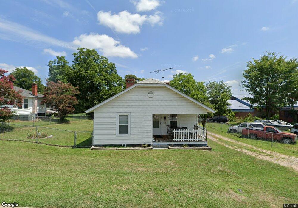
106 W 1st St Landis, NC 28088
Estimated Value: $145,205 - $204,000
--
Bed
1
Bath
910
Sq Ft
$199/Sq Ft
Est. Value
About This Home
This home is located at 106 W 1st St, Landis, NC 28088 and is currently estimated at $181,301, approximately $199 per square foot. 106 W 1st St is a home located in Rowan County with nearby schools including Landis Elementary School, Corriher Lipe Middle School, and South Rowan High School.
Ownership History
Date
Name
Owned For
Owner Type
Purchase Details
Closed on
Aug 3, 2022
Sold by
Kelly Donaldson Michael
Bought by
Simmons Linda D
Current Estimated Value
Purchase Details
Closed on
Oct 7, 2014
Sold by
Simmons Linda D and Donaldson Linda D
Bought by
Donaldson Michael Kelly
Create a Home Valuation Report for This Property
The Home Valuation Report is an in-depth analysis detailing your home's value as well as a comparison with similar homes in the area
Home Values in the Area
Average Home Value in this Area
Purchase History
| Date | Buyer | Sale Price | Title Company |
|---|---|---|---|
| Simmons Linda D | -- | Locklear Richard D | |
| Simmons Linda D | -- | Locklear Richard D | |
| Donaldson Michael Kelly | -- | None Available |
Source: Public Records
Tax History Compared to Growth
Tax History
| Year | Tax Paid | Tax Assessment Tax Assessment Total Assessment is a certain percentage of the fair market value that is determined by local assessors to be the total taxable value of land and additions on the property. | Land | Improvement |
|---|---|---|---|---|
| 2025 | $1,062 | $99,283 | $22,500 | $76,783 |
| 2024 | $1,062 | $99,283 | $22,500 | $76,783 |
| 2023 | $1,062 | $99,283 | $22,500 | $76,783 |
| 2022 | $361 | $60,772 | $18,375 | $42,397 |
| 2021 | $722 | $60,772 | $18,375 | $42,397 |
| 2020 | $361 | $60,772 | $18,375 | $42,397 |
| 2019 | $361 | $60,772 | $18,375 | $42,397 |
| 2018 | $317 | $53,899 | $18,375 | $35,524 |
| 2017 | $303 | $53,899 | $18,375 | $35,524 |
| 2016 | $303 | $53,899 | $18,375 | $35,524 |
| 2015 | $308 | $53,899 | $18,375 | $35,524 |
| 2014 | $308 | $54,570 | $17,625 | $36,945 |
Source: Public Records
Map
Nearby Homes
- 604 S Zion St
- 813 S Zion St
- 411 S Central Ave
- 233 E Rice St Unit 9
- 208 S Chapel St
- 0 W Ridge Ave
- 413 W Ridge Ave
- 0 N Chapel St
- 0 S Chapel St
- 406 W Mill St
- 616 S Main St
- 602 E Ryder Ave
- 710 E Mills Dr
- 00 Coldwater St
- 2909 Glendale Ave
- 514 W Blume St
- 805 E Mills Dr
- 321 N Kimmons St
- 0 N Cannon Blvd Unit CAR4271457
- 2885 Vale Ave
- 110 W 1st St
- 0 E Round St
- 702 S Highland Ave
- 611 S Zion St
- 613 S Zion St
- 111 W 1st St
- 609 S Zion St
- 113 W 1st St
- 706 S Highland Ave
- 0 S Zion St Unit CAR3899731
- 0 S Zion St Unit NULL R48916
- 0 S Zion St Unit NULL R46428
- 0 S Zion St Unit NULL
- 615 S Main St
- 605 S Zion St Unit 2
- 701 S Main St
- 109 W Round St
- 600 S Main St
- 614 S Zion St
- 614 S Zion St Unit NULL