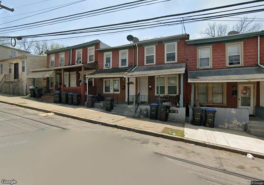
106 W Elm St Unit 17 Norristown, PA 19401
Estimated Value: $174,000 - $447,000
3
Beds
1
Bath
1,420
Sq Ft
$188/Sq Ft
Est. Value
About This Home
This home is located at 106 W Elm St Unit 17, Norristown, PA 19401 and is currently estimated at $267,416, approximately $188 per square foot. 106 W Elm St Unit 17 is a home located in Montgomery County with nearby schools including Davenport Elementary School, Charles Blockson Middle School, and East Norriton Middle School.
Ownership History
Date
Name
Owned For
Owner Type
Purchase Details
Closed on
Jul 29, 2022
Sold by
Brandt Robert H
Bought by
Crown Real Estate Group Llc
Current Estimated Value
Home Financials for this Owner
Home Financials are based on the most recent Mortgage that was taken out on this home.
Original Mortgage
$117,000
Outstanding Balance
$112,093
Interest Rate
5.78%
Mortgage Type
New Conventional
Estimated Equity
$155,323
Purchase Details
Closed on
Jun 1, 1995
Sold by
Sereny Ronald W and Sereny Maureen P
Bought by
Brandt Robert H
Create a Home Valuation Report for This Property
The Home Valuation Report is an in-depth analysis detailing your home's value as well as a comparison with similar homes in the area
Home Values in the Area
Average Home Value in this Area
Purchase History
| Date | Buyer | Sale Price | Title Company |
|---|---|---|---|
| Crown Real Estate Group Llc | $121,000 | None Listed On Document | |
| Brandt Robert H | $35,000 | -- |
Source: Public Records
Mortgage History
| Date | Status | Borrower | Loan Amount |
|---|---|---|---|
| Open | Crown Real Estate Group Llc | $117,000 |
Source: Public Records
Tax History Compared to Growth
Tax History
| Year | Tax Paid | Tax Assessment Tax Assessment Total Assessment is a certain percentage of the fair market value that is determined by local assessors to be the total taxable value of land and additions on the property. | Land | Improvement |
|---|---|---|---|---|
| 2025 | $1,671 | $27,210 | -- | -- |
| 2024 | $1,671 | $27,210 | -- | -- |
| 2023 | $1,656 | $27,210 | $0 | $0 |
| 2022 | $1,619 | $27,210 | $0 | $0 |
| 2021 | $1,612 | $27,210 | $0 | $0 |
| 2020 | $1,537 | $27,210 | $0 | $0 |
| 2019 | $1,509 | $27,210 | $0 | $0 |
| 2018 | $1,005 | $27,210 | $0 | $0 |
| 2017 | $1,386 | $27,210 | $0 | $0 |
| 2016 | $1,376 | $27,210 | $0 | $0 |
| 2015 | $1,318 | $27,210 | $0 | $0 |
| 2014 | $1,318 | $27,210 | $0 | $0 |
Source: Public Records
Map
Nearby Homes
- 1031 Swede St
- 231 W Spruce St
- 1225 Swede St
- 32 E Elm St
- 711 Swede St
- 1035 Willow St
- 332 James St
- 16 W Spruce St
- 42 Jacoby St
- 52 W Basin St
- 1009 Dekalb St
- 1844 Arbor Place Dr Unit 45S
- 1836 Arbor Place Dr Unit 41W
- 1852 Arbor Place Dr Unit 49S
- 1000 Dekalb St Unit 6
- 804 George St
- 548 Cherry St
- 534 Norris St
- 809 George St
- 521 Norris St