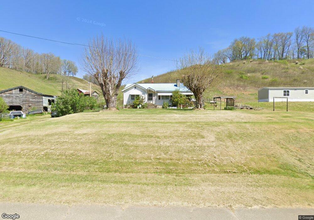
106 Walking Rd Burnsville, NC 28714
Estimated Value: $263,000 - $285,000
2
Beds
1
Bath
1,048
Sq Ft
$263/Sq Ft
Est. Value
About This Home
This home is located at 106 Walking Rd, Burnsville, NC 28714 and is currently estimated at $275,233, approximately $262 per square foot. 106 Walking Rd is a home located in Yancey County with nearby schools including Mountain Heritage High School and Yancey County Christian School.
Ownership History
Date
Name
Owned For
Owner Type
Purchase Details
Closed on
Nov 17, 2021
Sold by
Fender Clara A
Bought by
Fender Pete Dean
Current Estimated Value
Home Financials for this Owner
Home Financials are based on the most recent Mortgage that was taken out on this home.
Original Mortgage
$150,000
Outstanding Balance
$137,563
Interest Rate
3.05%
Mortgage Type
New Conventional
Estimated Equity
$137,670
Create a Home Valuation Report for This Property
The Home Valuation Report is an in-depth analysis detailing your home's value as well as a comparison with similar homes in the area
Home Values in the Area
Average Home Value in this Area
Purchase History
| Date | Buyer | Sale Price | Title Company |
|---|---|---|---|
| Fender Pete Dean | -- | None Listed On Document |
Source: Public Records
Mortgage History
| Date | Status | Borrower | Loan Amount |
|---|---|---|---|
| Open | Fender Pete Dean | $150,000 |
Source: Public Records
Tax History Compared to Growth
Tax History
| Year | Tax Paid | Tax Assessment Tax Assessment Total Assessment is a certain percentage of the fair market value that is determined by local assessors to be the total taxable value of land and additions on the property. | Land | Improvement |
|---|---|---|---|---|
| 2025 | $1,297 | $231,600 | $127,600 | $104,000 |
| 2024 | $1,297 | $231,600 | $127,600 | $104,000 |
| 2023 | $716 | $111,900 | $58,100 | $53,800 |
| 2022 | $702 | $111,900 | $58,100 | $53,800 |
| 2021 | $662 | $103,480 | $51,700 | $51,780 |
| 2020 | $662 | $103,480 | $51,700 | $51,780 |
| 2019 | $662 | $103,480 | $51,700 | $51,780 |
| 2018 | $662 | $103,480 | $51,700 | $51,780 |
| 2017 | $662 | $103,480 | $51,700 | $51,780 |
| 2016 | $662 | $103,480 | $51,700 | $51,780 |
| 2015 | $492 | $91,160 | $43,100 | $48,060 |
| 2014 | $492 | $91,160 | $43,100 | $48,060 |
Source: Public Records
Map
Nearby Homes
- 423 Hardscrabble Rd
- 456 Maney Branch Rd
- 239 Pleasant Valley Rd
- 000 Maney Branch Rd
- 456 & 000 Maney Branch Rd
- 237 Hickory Nut Ridge Rd Unit 10
- 18 Misty Meadows Rd
- 707 Lickskillet Rd
- 00 Prices Creek Rd
- 211 Evergreen Rd
- 1375 Swing Rd
- 0 McPeters Ln Unit CAR4243841
- 00 McPeters Ln
- 9999 River Edge Dr Unit 2
- 1377 Langford Branch Rd
- 0 Cane Mountain Ln Unit 9967935
- 0 Cane Mountain Ln Unit CAR4287202
- 0 Cane Mountain Ln Unit 250665
- 151 Swiss Loop
- 99999 Windswept Dr
- 128 Walking Rd
- 252 Possum Trot Rd
- 304 Walking Rd
- 0 Hwy 19 & 74
- 4940 Us Highway 19
- 4940 Us Hwy 19
- 30 Hardscrabble Rd
- 284 Possum Trot Rd
- 295 Possumtrot Rd
- 159 Possum Trot Rd
- 68 Crate Higgins Rd
- 190 Oak Knoll Dr
- 416 Possum Trot Rd
- 2 Hardscrabble Rd
- 27 Hardscrabble Rd
- 42 Oak Knoll Dr
- 119 Oak Knoll Dr Unit 1391
- 133 Hardscrabble Rd
- 300 Hardscrabble Rd
- 651 Possum Trot Rd