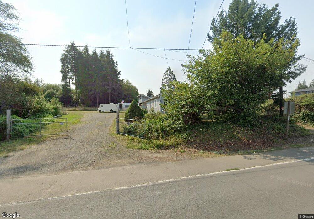
1060 Alt Hwy 101 Warrenton, OR 97146
Estimated Value: $227,000 - $354,000
1
Bed
1
Bath
800
Sq Ft
$360/Sq Ft
Est. Value
About This Home
This home is located at 1060 Alt Hwy 101, Warrenton, OR 97146 and is currently estimated at $287,749, approximately $359 per square foot. 1060 Alt Hwy 101 is a home located in Clatsop County with nearby schools including Warrenton Grade School, Warrenton High School, and Anchor Christian Academy.
Ownership History
Date
Name
Owned For
Owner Type
Purchase Details
Closed on
Dec 6, 2018
Sold by
May Rodney D
Bought by
Kataka Kenneth W and Kataka Faye E
Current Estimated Value
Purchase Details
Closed on
Jul 12, 2005
Sold by
Moore Jaime Paul and Christensen Keith Alan
Bought by
May Rodney D
Home Financials for this Owner
Home Financials are based on the most recent Mortgage that was taken out on this home.
Original Mortgage
$95,000
Interest Rate
5.51%
Mortgage Type
Fannie Mae Freddie Mac
Create a Home Valuation Report for This Property
The Home Valuation Report is an in-depth analysis detailing your home's value as well as a comparison with similar homes in the area
Home Values in the Area
Average Home Value in this Area
Purchase History
| Date | Buyer | Sale Price | Title Company |
|---|---|---|---|
| Kataka Kenneth W | $185,000 | Ticor Title Ins Co | |
| May Rodney D | $95,000 | Ticor Title Ins Co |
Source: Public Records
Mortgage History
| Date | Status | Borrower | Loan Amount |
|---|---|---|---|
| Previous Owner | May Rodney D | $95,000 |
Source: Public Records
Tax History Compared to Growth
Tax History
| Year | Tax Paid | Tax Assessment Tax Assessment Total Assessment is a certain percentage of the fair market value that is determined by local assessors to be the total taxable value of land and additions on the property. | Land | Improvement |
|---|---|---|---|---|
| 2025 | $1,163 | $87,411 | -- | -- |
| 2024 | $1,129 | $84,866 | -- | -- |
| 2023 | $1,092 | $82,395 | $0 | $0 |
| 2022 | $1,073 | $79,996 | $0 | $0 |
| 2021 | $1,057 | $77,667 | $0 | $0 |
| 2020 | $1,033 | $75,406 | $0 | $0 |
| 2019 | $1,007 | $73,211 | $0 | $0 |
| 2018 | $843 | $71,079 | $0 | $0 |
| 2017 | $676 | $58,842 | $0 | $0 |
| 2016 | $677 | $57,129 | $32,872 | $24,257 |
| 2015 | $663 | $55,466 | $31,915 | $23,551 |
| 2014 | $640 | $53,852 | $0 | $0 |
| 2013 | -- | $52,284 | $0 | $0 |
Source: Public Records
Map
Nearby Homes
- 0 SE 10th St
- 640 Alt Hwy 101
- 1175 SE 2nd St
- 171 U S 101 Unit 1
- 76 NE Heron Ave
- 1590 SE Honeysuckle Loop
- 1593 SE Honeysuckle Loop
- 780 S Main Ave
- 0 Tax Id 30749 Unit 640470661
- 0 Tax Id 30740 Unit 373027633
- 59 SW Main Ct
- TL 302 SW Main (Tl 100 200 6900) Ct
- 350 NE Skipanon Dr
- 344 NE Skipanon Dr
- 120 SW Alder Ct
- 140 SW Birch Ave
- 92256 Hummingbird Ln
- 0 Whiskey Rd
- 246 W Harbor St
- 92216 Whiskey Rd
- 1060 Alt Highway 101
- 1060 Alternate Hwy 101
- 0 Adj 1060 Alt Hwy 101 Unit 18532744
- 1286 SE Jetty Ave
- 1265 SE King Ave
- 1045 Highway 101 Alt
- 1275 SE King Ave
- 1285 SE Jetty Ave
- 1319 SE King Ave
- 1320 SE Jetty Ave
- 1272 SE King Ave
- 1335 SE Jetty Ave Unit A-5
- 1335 SE Jetty Ave Unit C-1
- 1335 SE Jetty Ave
- 1335 SE Jetty Ave Unit A-4
- 1335 SE Jetty Ave Unit B-2
- 1335 SE Jetty Ave Unit A-3
- 1335 SE Jetty Ave Unit C-3
- 1335 SE Jetty Ave Unit A-12
- 1335 SE Jetty Ave Unit C-4