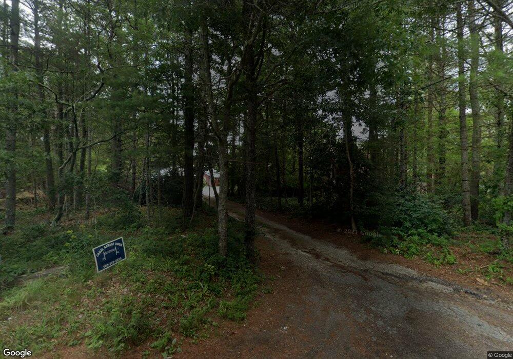
1060 Bourne Rd Unit n/a Plymouth, MA 02360
Estimated Value: $596,000 - $826,000
1
Bed
1
Bath
400
Sq Ft
$1,835/Sq Ft
Est. Value
About This Home
This home is located at 1060 Bourne Rd Unit n/a, Plymouth, MA 02360 and is currently estimated at $734,109, approximately $1,835 per square foot. 1060 Bourne Rd Unit n/a is a home located in Plymouth County with nearby schools including South Elementary School, Plymouth South Middle School, and Plymouth South High School.
Ownership History
Date
Name
Owned For
Owner Type
Purchase Details
Closed on
Jul 16, 2019
Sold by
Lawrence Joan
Bought by
Davies Toni
Current Estimated Value
Home Financials for this Owner
Home Financials are based on the most recent Mortgage that was taken out on this home.
Original Mortgage
$295,200
Outstanding Balance
$258,622
Interest Rate
3.82%
Mortgage Type
New Conventional
Estimated Equity
$475,487
Purchase Details
Closed on
Sep 18, 2008
Sold by
Lawrence George Campbell and Lawrence Joan
Bought by
Lawrence Joan
Create a Home Valuation Report for This Property
The Home Valuation Report is an in-depth analysis detailing your home's value as well as a comparison with similar homes in the area
Home Values in the Area
Average Home Value in this Area
Purchase History
| Date | Buyer | Sale Price | Title Company |
|---|---|---|---|
| Davies Toni | $369,000 | -- | |
| Lawrence Joan | -- | -- |
Source: Public Records
Mortgage History
| Date | Status | Borrower | Loan Amount |
|---|---|---|---|
| Open | Davies Toni | $295,200 | |
| Previous Owner | Lawrence Joan | $80,000 |
Source: Public Records
Tax History Compared to Growth
Tax History
| Year | Tax Paid | Tax Assessment Tax Assessment Total Assessment is a certain percentage of the fair market value that is determined by local assessors to be the total taxable value of land and additions on the property. | Land | Improvement |
|---|---|---|---|---|
| 2025 | $9,012 | $710,200 | $236,100 | $474,100 |
| 2024 | $8,844 | $687,200 | $232,100 | $455,100 |
| 2023 | $8,706 | $635,000 | $208,100 | $426,900 |
| 2022 | $8,303 | $538,100 | $189,100 | $349,000 |
| 2021 | $7,823 | $484,100 | $189,100 | $295,000 |
| 2020 | $7,768 | $475,100 | $185,100 | $290,000 |
| 2019 | $7,594 | $459,100 | $169,100 | $290,000 |
| 2018 | $7,353 | $446,700 | $159,100 | $287,600 |
| 2017 | $6,881 | $415,000 | $159,100 | $255,900 |
| 2016 | $6,596 | $405,400 | $149,100 | $256,300 |
| 2015 | $6,340 | $408,000 | $149,100 | $258,900 |
| 2014 | $6,084 | $402,100 | $149,100 | $253,000 |
Source: Public Records
Map
Nearby Homes
- 8 Cabot Cir
- 810 Head of The Bay Rd
- 9 Hideaway Rd Unit F
- 13 Hideaway Village Unit G
- 4 Knob Ln
- 73 Lewis Point Rd
- 23 Settlers Way
- 65 Lewis Point Rd
- 27 Baker Ln Unit 27
- 0 Lewis Point Rd
- 11 Thompson Rd Unit A
- 41 Lewis Point Rd
- 171 Puritan Rd
- 162 Puritan Rd
- 756 Bourne Rd
- 47 Lake Dr
- 901 Head of The Bay Rd
- 23 Pine Ridge Rd
- 110 Packard St
- 18 Heather Hill Rd
- 1060 Bourne Rd
- 1025 Bourne Rd
- 1055 Bourne Rd
- 1038 Bourne Rd
- 1041 Bourne Rd
- 1034 Bourne Rd
- 1029 Bourne Rd
- 1011 Bourne Rd
- 4 Whitmar Cir
- 14 Plymouth Ln
- 22 Park Rd Unit 22
- 400 Head of The Bay Rd
- 31 Dry Cedar Swamp Rd
- 15 White Island Pond Rd
- 25 White Island Pond Rd
- 35 White Island Pond Rd
- 11 Plymouth Ln
- 7 Bournehurst Dr
- 4 Dayna Ln
- 4 Dayna Ln