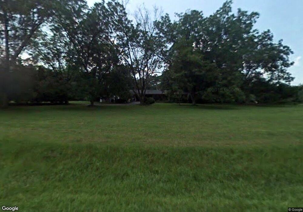
1060 Community Dr Union Point, GA 30669
Estimated Value: $157,000 - $288,000
--
Bed
2
Baths
1,370
Sq Ft
$153/Sq Ft
Est. Value
About This Home
This home is located at 1060 Community Dr, Union Point, GA 30669 and is currently estimated at $209,775, approximately $153 per square foot. 1060 Community Dr is a home located in Greene County with nearby schools including Greene County High School.
Ownership History
Date
Name
Owned For
Owner Type
Purchase Details
Closed on
Mar 11, 2004
Sold by
Walker Jerry T
Bought by
Walker Jerry T
Current Estimated Value
Purchase Details
Closed on
Mar 10, 2004
Sold by
Walker Jerry T and Walker Teresa
Bought by
Walker Jerry T
Purchase Details
Closed on
Jan 24, 1997
Sold by
Walker Jerry T and Walker Teresa
Bought by
Walker Jerry T and Walker Teresa
Purchase Details
Closed on
Oct 27, 1993
Sold by
Walker Jerry T
Bought by
Walker Jerry T and Walker Teresa
Purchase Details
Closed on
Jan 1, 1984
Sold by
Spence Samule F
Bought by
Walker Jerry T
Purchase Details
Closed on
Jan 1, 1983
Sold by
Harden F E
Bought by
Spence Samule F
Purchase Details
Closed on
Jan 1, 1981
Sold by
Spence Samule F
Bought by
Harden F E
Purchase Details
Closed on
Jan 1, 1973
Sold by
Dawkins A T
Bought by
Spence Samule F
Purchase Details
Closed on
Jan 1, 1954
Bought by
Dawkins A T
Create a Home Valuation Report for This Property
The Home Valuation Report is an in-depth analysis detailing your home's value as well as a comparison with similar homes in the area
Home Values in the Area
Average Home Value in this Area
Purchase History
| Date | Buyer | Sale Price | Title Company |
|---|---|---|---|
| Walker Jerry T | -- | -- | |
| Walker Jerry T | -- | -- | |
| Walker Jerry T | $3,800 | -- | |
| Walker Jerry T | -- | -- | |
| Walker Jerry T | -- | -- | |
| Spence Samule F | -- | -- | |
| Harden F E | -- | -- | |
| Spence Samule F | -- | -- | |
| Dawkins A T | -- | -- |
Source: Public Records
Tax History Compared to Growth
Tax History
| Year | Tax Paid | Tax Assessment Tax Assessment Total Assessment is a certain percentage of the fair market value that is determined by local assessors to be the total taxable value of land and additions on the property. | Land | Improvement |
|---|---|---|---|---|
| 2025 | $593 | $81,400 | $17,280 | $64,120 |
| 2024 | $626 | $75,760 | $17,280 | $58,480 |
| 2023 | $332 | $69,280 | $13,040 | $56,240 |
| 2022 | $806 | $51,440 | $13,280 | $38,160 |
| 2021 | $845 | $47,160 | $13,280 | $33,880 |
| 2020 | $899 | $36,840 | $11,760 | $25,080 |
| 2019 | $916 | $36,840 | $11,760 | $25,080 |
| 2018 | $895 | $36,840 | $11,760 | $25,080 |
| 2017 | $847 | $36,901 | $11,794 | $25,107 |
| 2016 | $847 | $37,826 | $11,794 | $26,032 |
| 2015 | $824 | $37,826 | $11,794 | $26,032 |
| 2014 | $826 | $36,406 | $11,794 | $24,612 |
Source: Public Records
Map
Nearby Homes
- 3434 Union Point Rd
- 0 Dogwood Rd
- 1211 Peachtree Ave W
- 0 Woodville Rd Unit 7667944
- 0 Woodville Rd Unit 10628010
- 1110 Woodland Way
- 1110 Woodland Ln
- 5971 Penfield Rd
- 5011 Penfield Rd
- 1251 Adams Rd
- 1101 Boswell Rd
- 204 Maple St
- 0 Washington Hwy Unit 7276060
- 3021 Penfield Rd
- 215 Hunter St
- 1860 Washington Hwy
- 324 N Rhodes St
- 0 S Rhodes St Unit 10618488
- 0 Woodland Ct Unit 10543600
- 202 Veazey St
- 1061 Community Dr
- 1041 Community Dr
- 4430 Highway 77 N
- 4460 Highway 77 N
- 1121 Community Dr
- 1131 Community Dr
- 4470 Highway 77 N
- 1171 Community Dr
- 4350 Highway 77 N
- 4350 Highway 77 N
- 4520 Highway 77 N
- 1332 Community Dr
- 0 Community Dr Unit 50601
- 0 Community Dr Unit 10351833
- 0 Community Dr Unit 66757
- 4470 Hwy 77n
- 1372 Community Dr
- 1328 Community Dr
- 1322 Community Dr
- 1306 Community Dr