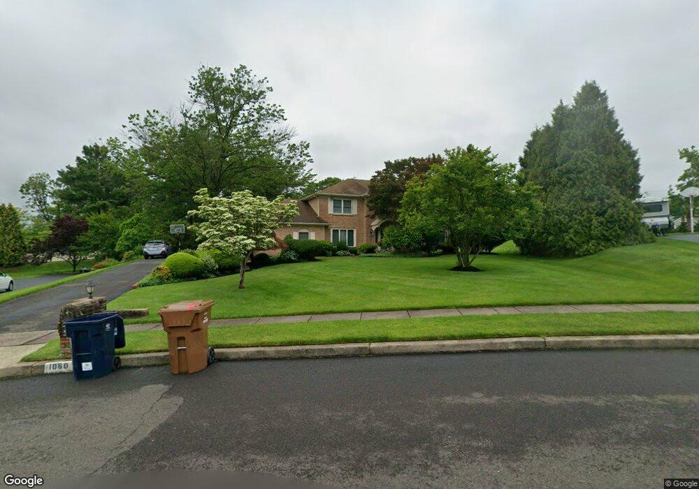
1060 Denston Dr Ambler, PA 19002
Estimated Value: $835,875 - $995,000
4
Beds
3
Baths
2,892
Sq Ft
$323/Sq Ft
Est. Value
About This Home
This home is located at 1060 Denston Dr, Ambler, PA 19002 and is currently estimated at $932,969, approximately $322 per square foot. 1060 Denston Dr is a home located in Montgomery County with nearby schools including Maple Glen El School, Sandy Run Middle School, and Upper Dublin High School.
Ownership History
Date
Name
Owned For
Owner Type
Purchase Details
Closed on
Mar 15, 2006
Sold by
Leone Aurelio and Leone Josephine
Bought by
Wallack Jeffrey P and Wallack Denise L
Current Estimated Value
Home Financials for this Owner
Home Financials are based on the most recent Mortgage that was taken out on this home.
Original Mortgage
$117,800
Outstanding Balance
$67,164
Interest Rate
6.32%
Estimated Equity
$865,805
Create a Home Valuation Report for This Property
The Home Valuation Report is an in-depth analysis detailing your home's value as well as a comparison with similar homes in the area
Home Values in the Area
Average Home Value in this Area
Purchase History
| Date | Buyer | Sale Price | Title Company |
|---|---|---|---|
| Wallack Jeffrey P | $594,900 | None Available |
Source: Public Records
Mortgage History
| Date | Status | Borrower | Loan Amount |
|---|---|---|---|
| Open | Wallack Jeffrey P | $117,800 | |
| Open | Wallack Jeffrey P | $417,000 |
Source: Public Records
Tax History Compared to Growth
Tax History
| Year | Tax Paid | Tax Assessment Tax Assessment Total Assessment is a certain percentage of the fair market value that is determined by local assessors to be the total taxable value of land and additions on the property. | Land | Improvement |
|---|---|---|---|---|
| 2025 | $11,435 | $234,500 | $68,380 | $166,120 |
| 2024 | $11,435 | $234,500 | $68,380 | $166,120 |
| 2023 | $11,168 | $234,500 | $68,380 | $166,120 |
| 2022 | $10,925 | $234,500 | $68,380 | $166,120 |
| 2021 | $10,653 | $234,500 | $68,380 | $166,120 |
| 2020 | $10,345 | $234,500 | $68,380 | $166,120 |
| 2019 | $10,172 | $234,500 | $68,380 | $166,120 |
| 2018 | $10,172 | $234,500 | $68,380 | $166,120 |
| 2017 | $9,801 | $234,500 | $68,380 | $166,120 |
| 2016 | $9,710 | $234,500 | $68,380 | $166,120 |
| 2015 | $9,171 | $234,500 | $68,380 | $166,120 |
| 2014 | $9,171 | $234,500 | $68,380 | $166,120 |
Source: Public Records
Map
Nearby Homes
- 1021 Meetinghouse Rd
- 1478 Dillon Rd
- 3404 Honey Run Rd
- 402 Harrison Place
- 1354 Wentz Dr
- 1225 Nash Dr
- 1425 Crosby Dr
- 1536 Fulton Dr
- 1404 Cinnamon Cir
- 1485 Mundock Rd
- 1423 Southwind Way
- 1324 Highland Ave
- 506 Kane Dr
- 127 Hampstead Dr Unit 127
- 1525 Limekiln Pike
- 64 Cavendish Dr
- 201 Victoria Ct
- 51 Cavendish Dr
- 105 Bolton Ct Unit 156
- 900 Bellaire Ave
- 1056 Denston Dr
- 1064 Denston Dr
- 1409 Fort Washington Ave
- 1413 Fort Washington Ave
- 1045 Denston Dr
- 1052 Denston Dr
- 1001 Susquehanna Rd
- 1005 Denston Dr
- 1049 Denston Dr
- 1001 Denston Dr
- 1327 Fort Washington Ave
- 930 Susquehanna Rd
- 1048 Denston Dr
- 1408 Fort Washington Ave
- 1041 Denston Dr
- 1053 Denston Dr
- 1412 Fort Washington Ave
- 925 Susquehanna Rd Unit 1
- 925 Susquehanna Rd
- 925 Susquehanna Rd Unit 2