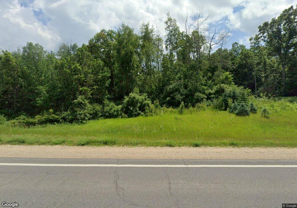
1060 E 82nd St Newaygo, MI 49337
Estimated Value: $260,000 - $526,000
--
Bed
3
Baths
--
Sq Ft
20
Acres
About This Home
This home is located at 1060 E 82nd St, Newaygo, MI 49337 and is currently estimated at $401,139. 1060 E 82nd St is a home located in Newaygo County with nearby schools including Vera Wilsie Elementary School, Newaygo Elementary School, and Newaygo Middle School.
Ownership History
Date
Name
Owned For
Owner Type
Purchase Details
Closed on
Aug 25, 2010
Sold by
Cook Howard and Cook Hackenberg Susan
Bought by
Cook Howard and Cook Hackenberg Susan
Current Estimated Value
Home Financials for this Owner
Home Financials are based on the most recent Mortgage that was taken out on this home.
Original Mortgage
$219,000
Outstanding Balance
$144,979
Interest Rate
4.49%
Mortgage Type
Purchase Money Mortgage
Estimated Equity
$256,160
Purchase Details
Closed on
Sep 22, 2006
Sold by
Endres Trust Phillip S
Bought by
Cook Cook-Hackenberg Family Trust
Create a Home Valuation Report for This Property
The Home Valuation Report is an in-depth analysis detailing your home's value as well as a comparison with similar homes in the area
Home Values in the Area
Average Home Value in this Area
Purchase History
| Date | Buyer | Sale Price | Title Company |
|---|---|---|---|
| Cook Howard | -- | -- | |
| Cook Howard | -- | -- | |
| Cook Cook-Hackenberg Family Trust | $325,000 | -- |
Source: Public Records
Mortgage History
| Date | Status | Borrower | Loan Amount |
|---|---|---|---|
| Open | Cook Howard | $219,000 |
Source: Public Records
Tax History Compared to Growth
Tax History
| Year | Tax Paid | Tax Assessment Tax Assessment Total Assessment is a certain percentage of the fair market value that is determined by local assessors to be the total taxable value of land and additions on the property. | Land | Improvement |
|---|---|---|---|---|
| 2025 | $2,145 | $226,900 | $0 | $0 |
| 2024 | $21 | $205,200 | $0 | $0 |
| 2023 | $1,996 | $181,500 | $0 | $0 |
| 2022 | $3,291 | $143,100 | $0 | $0 |
| 2021 | $3,200 | $145,200 | $0 | $0 |
| 2020 | $3,234 | $136,800 | $0 | $0 |
| 2019 | $3,246 | $126,800 | $0 | $0 |
| 2018 | $3,290 | $122,800 | $0 | $0 |
| 2017 | $3,187 | $120,800 | $0 | $0 |
| 2016 | $3,147 | $108,100 | $0 | $0 |
| 2015 | -- | $106,400 | $0 | $0 |
| 2014 | -- | $105,500 | $0 | $0 |
Source: Public Records
Map
Nearby Homes
- 8751 Old Elm Ln
- 545 E Streambank St
- 2712 E 88th St
- 8478 Vista Dr
- 0 Mason Dr Unit 25061407
- 202 Clay St
- 31 N Fair St
- 9425 S Benjamin Dr
- 30 Quarterline St
- 9500 S Annie Ln
- 9310 Benjamin Dr
- V/L S Spruce
- 1570 E Croton Dr
- 120 State St
- 27 W Wood St
- 6230 S Evergreen Dr
- 1333 E Hess Lake Dr
- VL Carol St
- 511 S Mundy Ave
- 7890 S Spruce Ave
- 968 82nd St
- 948 E 82nd St
- 868 E 82nd St
- 1105 E 82nd St
- 0 82nd Street (M82) Unit 65018030631
- 0 82nd Street (M82) Unit 65017003263
- 0 82nd Street (M82) Unit 65019001861
- 0 82nd Street (M82) Unit M17003263
- 0 82nd Street (M82) Unit M18030631
- 0 82nd Street (M82) Unit 19001861
- 82nd Street (M82)
- 1149 E 82nd St
- 8433 Tulip Ave
- 824 E 82nd St
- 8163 S Basswood Dr
- 8275 Vista Dr
- 8275 Vista Dr
- 8450 Tulip Ave
- 8161 S Basswood Dr
- 8161 S Basswood Dr
