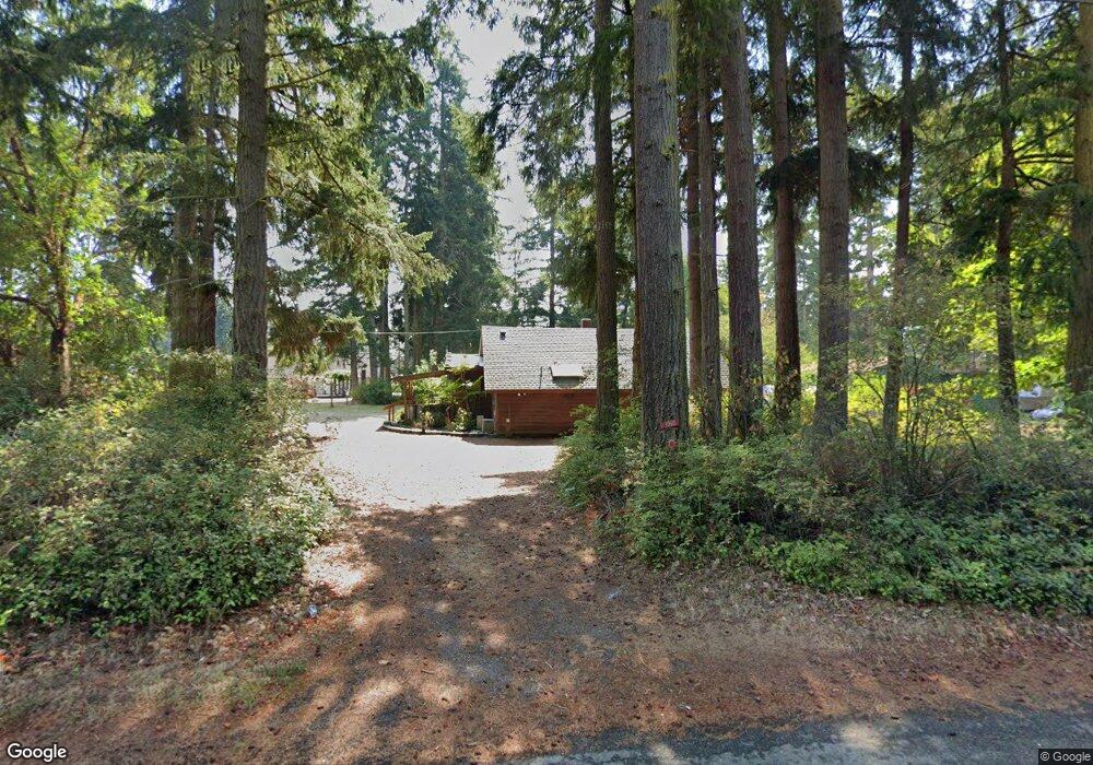
1060 Irondale Rd Port Hadlock, WA 98339
Port Hadlock-Irondale NeighborhoodEstimated Value: $318,000 - $441,000
1
Bed
1
Bath
1,128
Sq Ft
$333/Sq Ft
Est. Value
About This Home
This home is located at 1060 Irondale Rd, Port Hadlock, WA 98339 and is currently estimated at $375,980, approximately $333 per square foot. 1060 Irondale Rd is a home with nearby schools including Chimacum Creek Primary School, Chimacum School Pi Program, and Chimacum Elementary School.
Create a Home Valuation Report for This Property
The Home Valuation Report is an in-depth analysis detailing your home's value as well as a comparison with similar homes in the area
Home Values in the Area
Average Home Value in this Area
Tax History Compared to Growth
Tax History
| Year | Tax Paid | Tax Assessment Tax Assessment Total Assessment is a certain percentage of the fair market value that is determined by local assessors to be the total taxable value of land and additions on the property. | Land | Improvement |
|---|---|---|---|---|
| 2024 | $2,331 | $284,142 | $88,410 | $195,732 |
| 2023 | $2,155 | $266,035 | $79,200 | $186,835 |
| 2022 | $1,823 | $231,420 | $64,200 | $167,220 |
| 2021 | $1,788 | $199,450 | $60,100 | $139,350 |
| 2020 | $1,763 | $183,922 | $55,292 | $128,630 |
| 2019 | $1,601 | $176,159 | $52,888 | $123,271 |
| 2018 | $1,755 | $160,632 | $48,080 | $112,552 |
| 2017 | $1,458 | $155,272 | $48,080 | $107,192 |
| 2016 | $1,446 | $136,962 | $43,780 | $93,182 |
| 2015 | $1,424 | $136,962 | $43,780 | $93,182 |
| 2014 | -- | $136,962 | $43,780 | $93,182 |
| 2013 | -- | $124,510 | $39,800 | $84,710 |
Source: Public Records
Map
Nearby Homes
- 1210 Irondale Rd
- 0 NKA C St
- 31 2nd St
- 781 Irondale Rd
- 611 Cedar Ave Unit 62
- 611 Cedar Ave Unit 51
- 611 Cedar Ave Unit 33
- 371 E Price St
- 0 E Eugene St
- 0 901024068 Unit NWM2387187
- 90 Foster St
- 54 May St
- 153 Sunset Meadows Ln
- 51 Thomas Dr
- 121 S 7th Ave
- 191 Ness' Corner Rd
- 52 E Moore St
- 103 Hunt Rd
- 63 W Moore St
- 0 Lylus Ln