Estimated Value: $428,000 - $544,000
6
Beds
4
Baths
3,201
Sq Ft
$155/Sq Ft
Est. Value
About This Home
This home is located at 1060 John E Sullivan Rd, Byron, GA 31008 and is currently estimated at $495,044, approximately $154 per square foot. 1060 John E Sullivan Rd is a home located in Peach County with nearby schools including Kay Road Elementary School, Fort Valley Middle School, and Peach County High School.
Ownership History
Date
Name
Owned For
Owner Type
Purchase Details
Closed on
Jun 14, 2005
Sold by
Duckworth Walter R
Bought by
Duckworth Walter R and Duckworth Lisa S
Current Estimated Value
Purchase Details
Closed on
Mar 15, 2002
Sold by
Duckworth Mary and Duckworth Walter R
Bought by
Duckworth Walter R and Duckworth Lisa S
Purchase Details
Closed on
Jun 28, 1990
Bought by
Duckworth Walter R
Create a Home Valuation Report for This Property
The Home Valuation Report is an in-depth analysis detailing your home's value as well as a comparison with similar homes in the area
Home Values in the Area
Average Home Value in this Area
Purchase History
| Date | Buyer | Sale Price | Title Company |
|---|---|---|---|
| Duckworth Walter R | -- | -- | |
| Duckworth Walter R | -- | -- | |
| Duckworth Walter R | $37,700 | -- |
Source: Public Records
Tax History
| Year | Tax Paid | Tax Assessment Tax Assessment Total Assessment is a certain percentage of the fair market value that is determined by local assessors to be the total taxable value of land and additions on the property. | Land | Improvement |
|---|---|---|---|---|
| 2025 | $2,853 | $174,720 | $60,880 | $113,840 |
| 2024 | $2,995 | $172,600 | $62,800 | $109,800 |
| 2023 | $2,501 | $172,200 | $62,800 | $109,400 |
| 2022 | $2,679 | $159,920 | $62,800 | $97,120 |
| 2021 | $2,763 | $150,080 | $62,800 | $87,280 |
| 2020 | $2,735 | $149,280 | $62,800 | $86,480 |
| 2019 | $3,217 | $149,280 | $62,800 | $86,480 |
| 2018 | $3,230 | $149,280 | $62,800 | $86,480 |
| 2017 | $3,241 | $149,280 | $62,800 | $86,480 |
| 2016 | $3,225 | $149,280 | $62,800 | $86,480 |
| 2015 | $3,227 | $149,280 | $62,800 | $86,480 |
| 2014 | $2,985 | $149,280 | $62,800 | $86,480 |
| 2013 | -- | $149,280 | $62,800 | $86,480 |
Source: Public Records
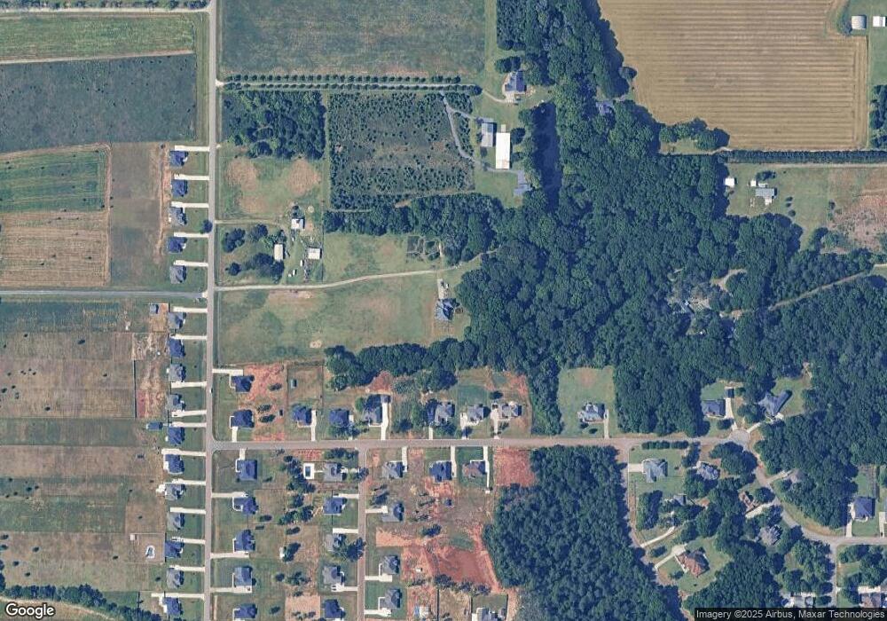
Map
Nearby Homes
- 800 John E Sullivan Rd
- 19C Crown Ct
- 116 Early Dr
- 115 Early Dr
- 119 Early Dr
- 3379 Housers Mill Rd
- 129 Amanda Dr
- 0 Housers Mill Rd Unit 5515996
- 161 Rowland Cir
- 204 Brandon Way
- 109 Red Tail Cir
- 4682 Housers Mill Rd
- 0 Barker Rd Unit 243030
- 0 Barker Rd Unit 14258525
- 0 Barker Rd Unit 175053
- 264 Lillian Dr
- 450 Jones Rd
- 39 English Ct
- 0 Moracci Way Unit 24354552
- 0 Peavy Rd
- 320 Sterling Dr
- 318 Sterling Dr
- 326 Sterling Dr
- Lot 5D Sterling Place
- 1202 John E Sullivan Rd
- 331 Sterling Dr
- 310 Sterling Dr
- 328 Sterling Dr
- Lot 5D Sterling Dr
- Lot 9 Sterling Dr
- 20C Sterling Dr
- 19C Sterling Dr
- 18C Sterling Dr
- 16A Sterling Dr
- 322 Sterling Dr
- 325 Sterling Dr
- 321 Sterling Dr Unit S. HOUSTON LAKE ROAD
- 323 Sterling Dr
- 330 Sterling Dr
- 1104 John E Sullivan Rd
Your Personal Tour Guide
Ask me questions while you tour the home.