1060 Lambert Rd Cle Elum, WA 98922
Estimated Value: $1,055,000 - $1,372,000
3
Beds
--
Bath
2,588
Sq Ft
$463/Sq Ft
Est. Value
About This Home
This home is located at 1060 Lambert Rd, Cle Elum, WA 98922 and is currently estimated at $1,199,055, approximately $463 per square foot. 1060 Lambert Rd is a home located in Kittitas County with nearby schools including Cle Elum Roslyn Elementary School, Walter Strom Middle School, and Cle Elum Roslyn High School.
Ownership History
Date
Name
Owned For
Owner Type
Purchase Details
Closed on
Mar 10, 2011
Sold by
Billingsley Gary K and Rentfro Billingsley Nima Maya Lama
Bought by
Billingsley Gary K and Rentfro Billingsley Nima Maya Lama
Current Estimated Value
Purchase Details
Closed on
Jan 27, 2006
Sold by
Burke Richard L and Burke Mary
Bought by
Billingsley Gary K
Home Financials for this Owner
Home Financials are based on the most recent Mortgage that was taken out on this home.
Original Mortgage
$417,000
Interest Rate
6.21%
Mortgage Type
New Conventional
Create a Home Valuation Report for This Property
The Home Valuation Report is an in-depth analysis detailing your home's value as well as a comparison with similar homes in the area
Home Values in the Area
Average Home Value in this Area
Purchase History
| Date | Buyer | Sale Price | Title Company |
|---|---|---|---|
| Billingsley Gary K | -- | None Available | |
| Billingsley Gary K | $629,500 | Nw Title Co |
Source: Public Records
Mortgage History
| Date | Status | Borrower | Loan Amount |
|---|---|---|---|
| Previous Owner | Billingsley Gary K | $417,000 |
Source: Public Records
Tax History Compared to Growth
Tax History
| Year | Tax Paid | Tax Assessment Tax Assessment Total Assessment is a certain percentage of the fair market value that is determined by local assessors to be the total taxable value of land and additions on the property. | Land | Improvement |
|---|---|---|---|---|
| 2025 | $5,110 | $906,260 | $225,050 | $681,210 |
| 2023 | $5,110 | $796,110 | $160,050 | $636,060 |
| 2022 | $4,545 | $659,240 | $137,050 | $522,190 |
| 2021 | $4,648 | $643,850 | $117,550 | $526,300 |
| 2019 | $3,531 | $489,650 | $73,550 | $416,100 |
| 2018 | $3,066 | $386,990 | $73,550 | $313,440 |
| 2017 | $3,066 | $386,990 | $73,550 | $313,440 |
| 2016 | $3,072 | $386,990 | $73,550 | $313,440 |
| 2015 | -- | $386,990 | $73,550 | $313,440 |
| 2013 | -- | $433,990 | $87,550 | $346,440 |
Source: Public Records
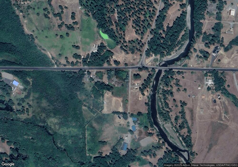
Map
Nearby Homes
- 301 Quail Valley Rd
- 2262 Lambert Rd
- 300 Teanaway Ridge Way
- 341 Teanaway Ridge Way
- 4081 Washington 970 Unit B4
- 4081 Washington 970 Unit B3
- 4081 Washington 970 Unit D7
- 4081 Washington 970 Unit A5
- 4081 Washington 970 Unit D10
- 4081 Washington 970 Unit A6
- 1 Black Hawk Dr
- 8440 Upper Peoh Point Rd
- 8607 Upper Peoh Point Rd
- 61 - 341 Tetons Ln
- 8440 Upper Peoh Point
- 6280 Lower Peoh Point Rd
- 2781 970
- 3653 Hart Rd
- 2431 Sr 970
- 0 XXX Red Bridge Rd
- 1130 Lambert Rd
- 970 Lambert Rd
- 1132 Lambert Rd
- 211 Seaton Rd
- 1370 Lambert Rd
- 5902 Hwy 970
- 220 Seaton Rd
- 310 Seaton Rd
- 221 Quail Valley Rd
- 111 Quail Valley Rd
- 680 Lambert Rd
- 5900 Hwy 970
- 400 Bugni Field Rd
- 1361 Lambert Rd
- 29001 Highway 10
- 460 Lambert Rd
- 541 Seaton Rd
- 100 Quail Valley Rd
- 0 Quail Valley Rd Unit 29169822
- 0 Quail Valley Rd Unit 29169807